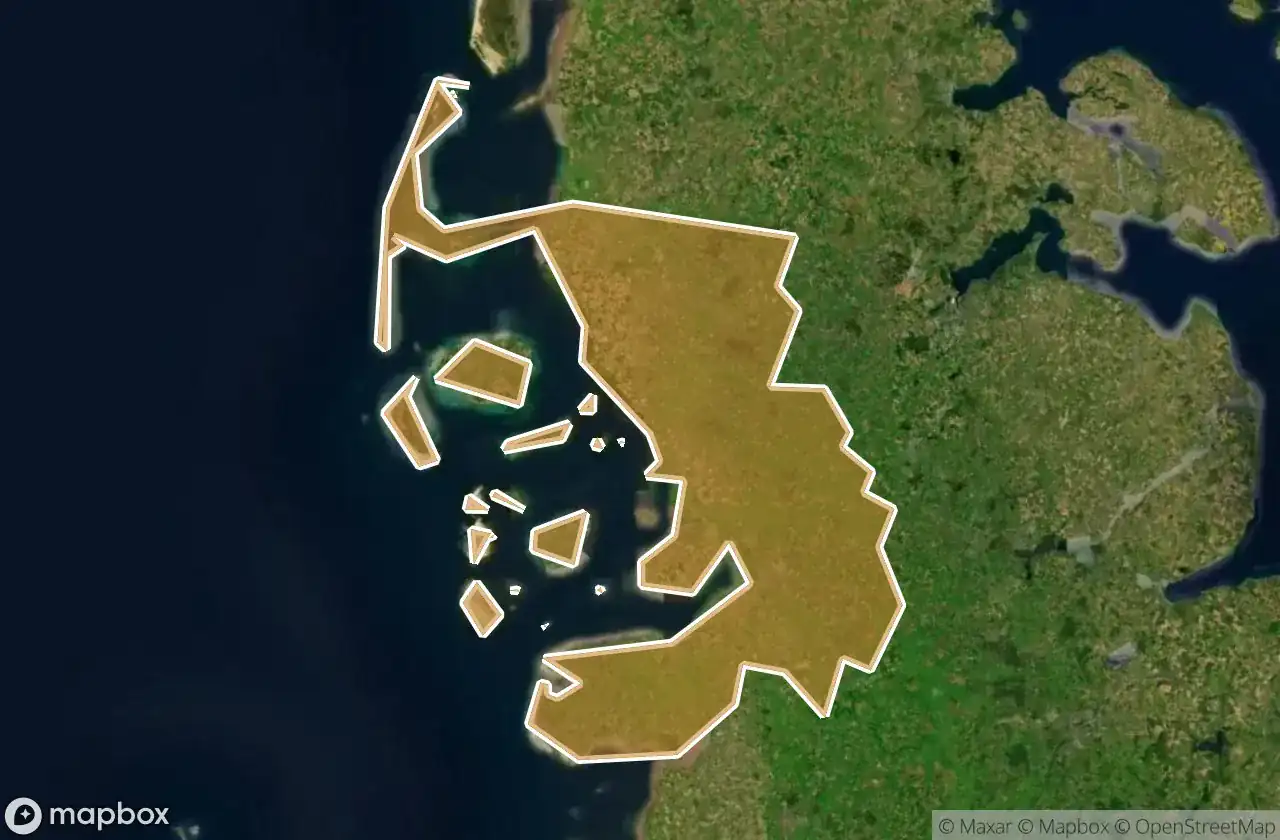
แผนที่ Urbex Nordfriesland
39 สถานที่ร้างใน Nordfriesland
39
จุด
ชำระครั้งเดียว - เข้าถึงตลอดชีพ
การชำระเงินปลอดภัย 100%
การเชื่อมต่อเข้ารหัส SSL · ไม่จัดเก็บข้อมูลธนาคาร
อัปเดตตลอดชีวิต
ธีมที่รวมอยู่ในแพ็คนี้
- ซากปรักหักพัง
สถานที่ร้างทั้งหมดใน Nordfriesland
39 พิกัด GPS ที่ตรวจสอบแล้วในจังหวัด Nordfriesland, Schleswig Holstein, เยอรมนี.
กำลังมองหาสถานที่ร้างในNordfriesland, Schleswig Holstein, เยอรมนีอยู่ใช่ไหม? Urbex Maps มีพิกัด GPS ที่ตรวจสอบแล้ว 39 แห่งของอาคารร้างในพื้นที่นี้ รวมถึง ซากปรักหักพัง
39
จุดที่ตรวจสอบแล้ว
GPS
Google Maps, Waze
มิถุนายน 2569
อัปเดตล่าสุด
จะหาสถานที่ร้างในNordfrieslandได้ที่ไหน?
วิธีที่ดีที่สุดในการค้นหาสถานที่ร้างในNordfrieslandคือผ่านแผนที่ Urbex แบบโต้ตอบบน Urbex Maps พร้อมพิกัด GPS ที่ตรวจสอบแล้ว 39 แห่ง ประเภทหลัก ๆ ได้แก่ ซากปรักหักพัง
ประเภทสถานที่ร้างในNordfriesland
- ซากปรักหักพัง
จุดใน Nordfriesland

Alte Kirche, Pellworm

Badallee, Sankt Peter-Dorf

Bahnhofstraße, Tönning

Bahnhofstraße, Wimmersbüll

Borgsum

Dorfstraße, Sankt Peter-Dorf

Eiscafé Cappuccino, Norddorf auf Amrum

Engesande, Enge

Holbekweg, Schwabstedt

Im Bad, Sankt Peter-Bad

Imported Coordinate Shadows

K 44, Langeneß

Karkenweg, Drelsdorf

Koogstraße, Tümlauer Koog

Lister Straße, Kampen (Sylt)

Norddorf

Nordermitteldeich, Pellworm

Oberdorf, Bondelum

Obere Wandelbahn, Wittdün auf Amrum

Parkplatz Dockkoog, Husum

Porrendeich, Uelvesbüll

Residual Coordinate Fragments

Seegarden, Tammensiel

Shadows of the Imported Grid

Shadows of the Imported Grid

Stollberg, West-Bordelum

Strandweg, Ording

The Geometry of Silence

The Geometry of Silence

The Ghost in the Grid

The Imported Geometric Ghost

The Latent Coordinate Echo

The Latent Geometry

The Mapped Void

The Plotted Void

Traced Coordinates of Silence

Traces of the Grid

Traces of the Grid

Traces of the Imported Grid