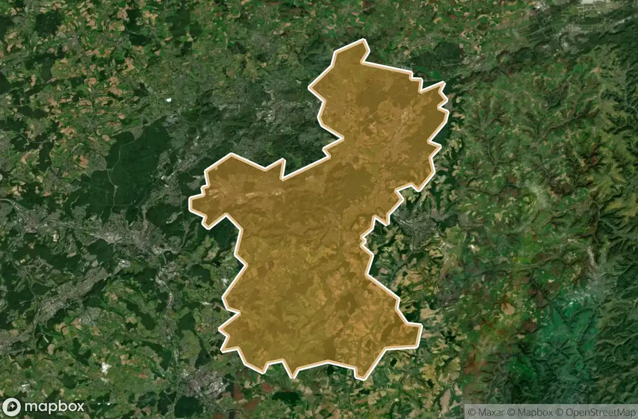
แผนที่ Urbex Saarpfalz Kreis
34 สถานที่ร้างใน Saarpfalz Kreis
34
จุด
ชำระครั้งเดียว - เข้าถึงตลอดชีพ
การชำระเงินปลอดภัย 100%
การเชื่อมต่อเข้ารหัส SSL · ไม่จัดเก็บข้อมูลธนาคาร
อัปเดตตลอดชีวิต
ธีมที่รวมอยู่ในแพ็คนี้
- บังเกอร์
- ซากปรักหักพัง
- ทหาร
สถานที่ร้างทั้งหมดใน Saarpfalz Kreis
34 พิกัด GPS ที่ตรวจสอบแล้วในจังหวัด Saarpfalz Kreis, Saarland, เยอรมนี.
กำลังมองหาสถานที่ร้างในSaarpfalz Kreis, Saarland, เยอรมนีอยู่ใช่ไหม? Urbex Maps มีพิกัด GPS ที่ตรวจสอบแล้ว 34 แห่งของอาคารร้างในพื้นที่นี้ รวมถึง บังเกอร์, ซากปรักหักพัง, ทหาร
34
จุดที่ตรวจสอบแล้ว
GPS
Google Maps, Waze
มิถุนายน 2569
อัปเดตล่าสุด
จะหาสถานที่ร้างในSaarpfalz Kreisได้ที่ไหน?
วิธีที่ดีที่สุดในการค้นหาสถานที่ร้างในSaarpfalz Kreisคือผ่านแผนที่ Urbex แบบโต้ตอบบน Urbex Maps พร้อมพิกัด GPS ที่ตรวจสอบแล้ว 34 แห่ง ประเภทหลัก ๆ ได้แก่ บังเกอร์, ซากปรักหักพัง, ทหาร
ประเภทสถานที่ร้างในSaarpfalz Kreis
- บังเกอร์
- ซากปรักหักพัง
- ทหาร
จุดใน Saarpfalz Kreis

Allmendstraße, Niederwürzbach

Alte Schmelz, Sankt Ingbert

Am Feilbach, Bexbach

Am Gedünner, Homburg

Am Gleisbauhof, Kirkel

Am grauen Bannstein, Heckendalheim

Am grauen Bannstein, Heckendalheim

Artifact of the Transfer

B 423, Webenheim

Blücherstraße, Sankt Ingbert

Friedrichstraße, Reinheim

Gersheim

Im Gräsertal, Limbach

Industriering, Blieskastel

Kirkel

L 102, Riesweiler

Obere Kaiserstraße, Sankt Ingbert

Otto-Walle-Straße, Heckendalheim

Plotting The Silent Void

Robert-Bosch-Straße, Homburg

Robert-Schuman-Straße, Reinheim

Sankt Ingbert

Sankt Ingbert

Sankt Ingbert

St. Ingberter Straße, Heckendalheim

Sulgerhof

The Geometry of Shadows

Traced Beyond the Grid

Traced Beyond the Grid

Traces in the Vector

Traces of the Mesh

Vector of Residual Silence

ehemaliger Bahnhof Jägersburg, Jägersburg

ehm. Gassenmühle