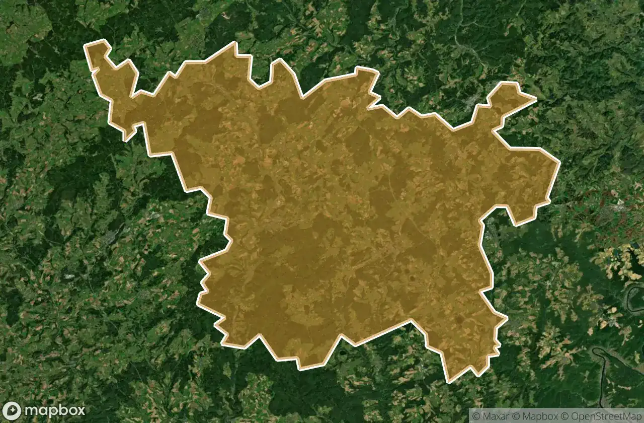
แผนที่ Urbex Vulkaneifel
35 สถานที่ร้างใน Vulkaneifel
35
จุด
ชำระครั้งเดียว - เข้าถึงตลอดชีพ
การชำระเงินปลอดภัย 100%
การเชื่อมต่อเข้ารหัส SSL · ไม่จัดเก็บข้อมูลธนาคาร
อัปเดตตลอดชีวิต
ธีมที่รวมอยู่ในแพ็คนี้
- บังเกอร์
- ปราสาท
- ทหาร
- สถานี
สถานที่ร้างทั้งหมดใน Vulkaneifel
35 พิกัด GPS ที่ตรวจสอบแล้วในจังหวัด Vulkaneifel, Rheinland Pfalz, เยอรมนี.
กำลังมองหาสถานที่ร้างในVulkaneifel, Rheinland Pfalz, เยอรมนีอยู่ใช่ไหม? Urbex Maps มีพิกัด GPS ที่ตรวจสอบแล้ว 35 แห่งของอาคารร้างในพื้นที่นี้ รวมถึง บังเกอร์, ปราสาท, ทหาร, สถานี
35
จุดที่ตรวจสอบแล้ว
GPS
Google Maps, Waze
มิถุนายน 2569
อัปเดตล่าสุด
จะหาสถานที่ร้างในVulkaneifelได้ที่ไหน?
วิธีที่ดีที่สุดในการค้นหาสถานที่ร้างในVulkaneifelคือผ่านแผนที่ Urbex แบบโต้ตอบบน Urbex Maps พร้อมพิกัด GPS ที่ตรวจสอบแล้ว 35 แห่ง ประเภทหลัก ๆ ได้แก่ บังเกอร์, ปราสาท, ทหาร, สถานี
ประเภทสถานที่ร้างในVulkaneifel
- บังเกอร์
- ปราสาท
- ทหาร
- สถานี
จุดใน Vulkaneifel

Adenauerhaus

Ahbachstraße, Ahütte

Alter Bahnhof, Schalkenmehren

B 421, Dreis

B 421, Scheid

B 421, Scheid

B 421, Scheid

Bongard

Coordinates of the Scripted

Frauenkroner Straße, Scheid

Frauenkroner Weg, Frauenkron

Hauptstraße, Wallenborn

Kalkbrennöfen, Niederehe

Maibaumstraße, Birresborn

Nohner Mühle, Nohn

Poststraße, Birresborn

Residual Spatial Fragment

Ruine Neroburg, Oberstadtfeld

Scheid

Scheid

Scheid

St.-Matthias-Gymnasium, Gerolstein

Steiner Weg, Dockweiler

The Grid’s Silent Artifact

The Imported Echo

The Imported Silence

The Imported Silence

The Imported Static Manifest

The Latent Coordinate

Traces Of Imported Silence

Traces Within The Grid

Traces of Imported Silence

Vennquerbahn, Losheim

Walsdorf

Westwall, Frauenkron