แผนที่ Urbex Starnberg
19 สถานที่ร้างใน Starnberg
19
จุด
ชำระครั้งเดียว - เข้าถึงตลอดชีพ
การชำระเงินปลอดภัย 100%
การเชื่อมต่อเข้ารหัส SSL · ไม่จัดเก็บข้อมูลธนาคาร
อัปเดตตลอดชีวิต
ธีมที่รวมอยู่ในแพ็คนี้
- ซากปรักหักพัง
สถานที่ร้างทั้งหมดใน Starnberg
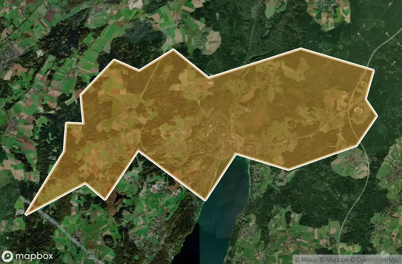
19 พิกัด GPS ที่ตรวจสอบแล้วในจังหวัด Starnberg, Bayern, เยอรมนี.
กำลังมองหาสถานที่ร้างในStarnberg, Bayern, เยอรมนีอยู่ใช่ไหม? Urbex Maps มีพิกัด GPS ที่ตรวจสอบแล้ว 19 แห่งของอาคารร้างในพื้นที่นี้ รวมถึง ซากปรักหักพัง
19
จุดที่ตรวจสอบแล้ว
GPS
Google Maps, Waze
มิถุนายน 2569
อัปเดตล่าสุด
จะหาสถานที่ร้างในStarnbergได้ที่ไหน?
วิธีที่ดีที่สุดในการค้นหาสถานที่ร้างในStarnbergคือผ่านแผนที่ Urbex แบบโต้ตอบบน Urbex Maps พร้อมพิกัด GPS ที่ตรวจสอบแล้ว 19 แห่ง ประเภทหลัก ๆ ได้แก่ ซากปรักหักพัง
ประเภทสถานที่ร้างในStarnberg
- ซากปรักหักพัง
จุดใน Starnberg

Am Bahnhof, Argelsried

Automobile Schütt & Schaupp GmbH

Bahnhofplatz, Starnberg

Inning am Ammersee

Klein-Jerusalem, Königswiesen

Klein-Jerusalem, Königswiesen

Landsberger Straße, Argelsried

Mystical energies / Mystische Energien

Possenhofener Straße, Starnberg

Schlossmauer

Shadows in the Vector

Shadows of the Mapped Ruin

Starnberg

The Geometry of Silence

The Ghost of the Grid

The Vector’s Silent Echo

The forest lodge / Waldgasthof

Traces Of A Silent Node

Tutzing