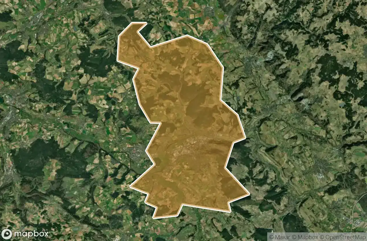
แผนที่ Urbex Kulmbach
23 สถานที่ร้างใน Kulmbach
23
จุด
ชำระครั้งเดียว - เข้าถึงตลอดชีพ
การชำระเงินปลอดภัย 100%
การเชื่อมต่อเข้ารหัส SSL · ไม่จัดเก็บข้อมูลธนาคาร
อัปเดตตลอดชีวิต
ธีมที่รวมอยู่ในแพ็คนี้
- ซากปรักหักพัง
สถานที่ร้างทั้งหมดใน Kulmbach
23 พิกัด GPS ที่ตรวจสอบแล้วในจังหวัด Kulmbach, Bayern, เยอรมนี.
กำลังมองหาสถานที่ร้างในKulmbach, Bayern, เยอรมนีอยู่ใช่ไหม? Urbex Maps มีพิกัด GPS ที่ตรวจสอบแล้ว 23 แห่งของอาคารร้างในพื้นที่นี้ รวมถึง ซากปรักหักพัง
23
จุดที่ตรวจสอบแล้ว
GPS
Google Maps, Waze
มิถุนายน 2569
อัปเดตล่าสุด
จะหาสถานที่ร้างในKulmbachได้ที่ไหน?
วิธีที่ดีที่สุดในการค้นหาสถานที่ร้างในKulmbachคือผ่านแผนที่ Urbex แบบโต้ตอบบน Urbex Maps พร้อมพิกัด GPS ที่ตรวจสอบแล้ว 23 แห่ง ประเภทหลัก ๆ ได้แก่ ซากปรักหักพัง
ประเภทสถานที่ร้างในKulmbach
- ซากปรักหักพัง
จุดใน Kulmbach

Birken, Heinersreuth

Grundmühle, Ziegenburg

Hochofen, Unterzaubach

In der Ecken, Pölz

Kasendorf

Kulmbacher Spinnerei GmbH, Hornschuchshausen

Lerchenbühl, Weiher

Mouldy Inn / SchimmelGasthof

Petersmühle, Trottenreuth

Plassenburg, Blaich

Römersreuth

Schübelhammer, Bernstein a.Wald

Shadows of the Coordinate

Spinnereistraße, Pölz

Stadtsteinach

The Geometry of Silence

The Imported Ghost Map

The Imported Silence

Traced From the Void

Traces From The Grid

Traces Within the Grid

Traces of the Latent Node

Vector of the Unseen