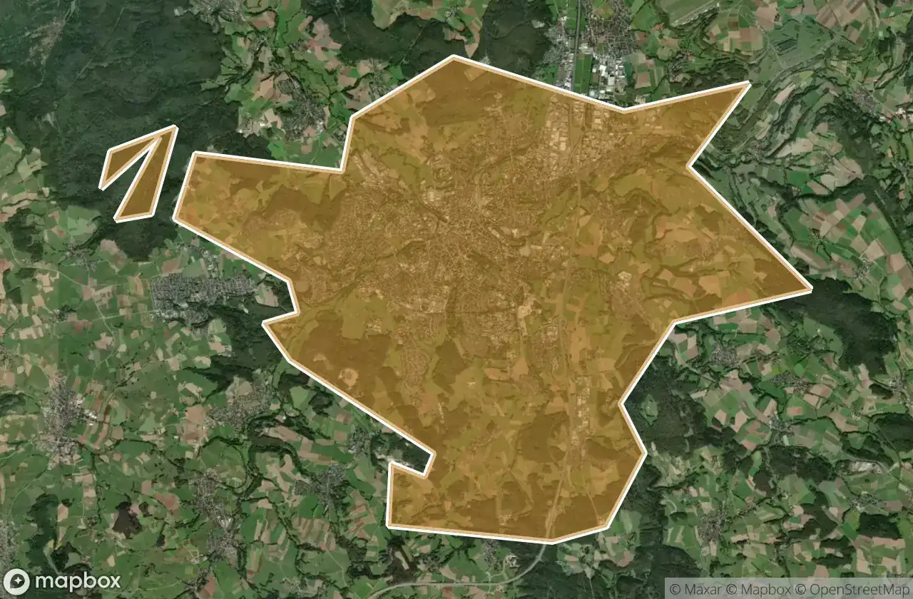
แผนที่ Urbex Bayreuth
27 สถานที่ร้างใน Bayreuth
27
จุด
ชำระครั้งเดียว - เข้าถึงตลอดชีพ
การชำระเงินปลอดภัย 100%
การเชื่อมต่อเข้ารหัส SSL · ไม่จัดเก็บข้อมูลธนาคาร
อัปเดตตลอดชีวิต
ธีมที่รวมอยู่ในแพ็คนี้
- ปราสาท
- บังเกอร์
- ทหาร
สถานที่ร้างทั้งหมดใน Bayreuth
27 พิกัด GPS ที่ตรวจสอบแล้วในจังหวัด Bayreuth, Bayern, เยอรมนี.
กำลังมองหาสถานที่ร้างในBayreuth, Bayern, เยอรมนีอยู่ใช่ไหม? Urbex Maps มีพิกัด GPS ที่ตรวจสอบแล้ว 27 แห่งของอาคารร้างในพื้นที่นี้ รวมถึง ปราสาท, บังเกอร์, ทหาร
27
จุดที่ตรวจสอบแล้ว
GPS
Google Maps, Waze
มิถุนายน 2569
อัปเดตล่าสุด
จะหาสถานที่ร้างในBayreuthได้ที่ไหน?
วิธีที่ดีที่สุดในการค้นหาสถานที่ร้างในBayreuthคือผ่านแผนที่ Urbex แบบโต้ตอบบน Urbex Maps พร้อมพิกัด GPS ที่ตรวจสอบแล้ว 27 แห่ง ประเภทหลัก ๆ ได้แก่ ปราสาท, บังเกอร์, ทหาร
ประเภทสถานที่ร้างในBayreuth
- ปราสาท
- บังเกอร์
- ทหาร
จุดใน Bayreuth

B 2, Weidensees

Bahnhofstraße, Kirchenlaibach

Bischofsgrun

Cure Home / Kur heim

Dead Spot - Crystal Baths / Kristallbäder

Dead Spot - Funcity

Encoded Geometry of Silence

Funcity

Ghost within the Geometry

Hammermühle, Langenloh

Huth, Schamelsberg

Matzenberg, Donndorf

Meilerplatz Birk

Panoramasteig, Grenzhammer

Plotted Beyond the Edge

Ruine der Wallburg Hohe Warte

Röhrig, Bindlacher Berg

Röhrig, Bindlacher Berg

Schermshöhe, Riegelstein

Schlossturm, Bad Berneck

Shadows in the Geometry

The Geometry of Silence

The Imported Silence

Traces in the Grid

Traces in the Grid

Vectors of the Void

Wagenthal, Oberwarmensteinach