แผนที่ Urbex Lorrach
25 สถานที่ร้างใน Lorrach
25
จุด
ชำระครั้งเดียว - เข้าถึงตลอดชีพ
การชำระเงินปลอดภัย 100%
การเชื่อมต่อเข้ารหัส SSL · ไม่จัดเก็บข้อมูลธนาคาร
อัปเดตตลอดชีวิต
ธีมที่รวมอยู่ในแพ็คนี้
- ซากปรักหักพัง
- บังเกอร์
- ปราสาท
- ป้อม
- ทหาร
- เหมือง
สถานที่ร้างทั้งหมดใน Lorrach
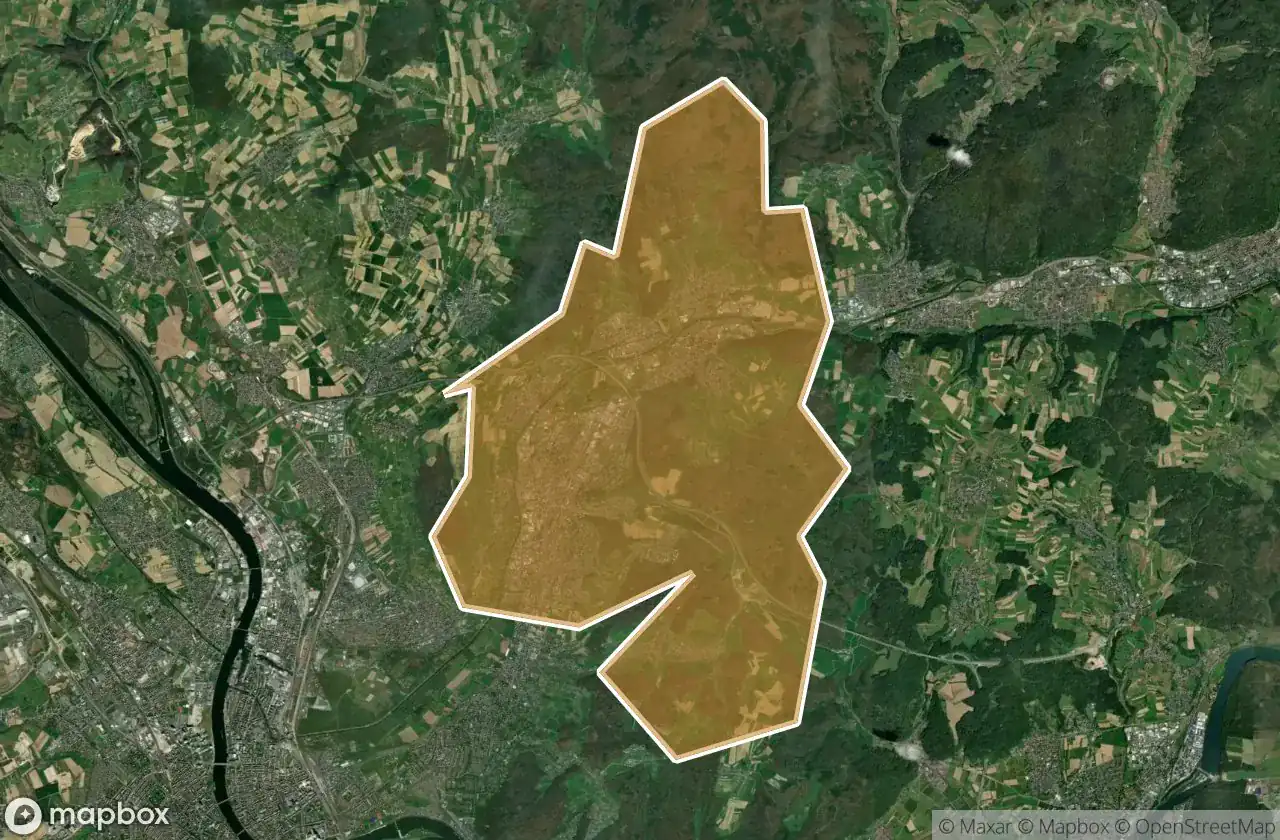
25 พิกัด GPS ที่ตรวจสอบแล้วในจังหวัด Lorrach, Baden Wurttemberg, เยอรมนี.
กำลังมองหาสถานที่ร้างในLorrach, Baden Wurttemberg, เยอรมนีอยู่ใช่ไหม? Urbex Maps มีพิกัด GPS ที่ตรวจสอบแล้ว 25 แห่งของอาคารร้างในพื้นที่นี้ รวมถึง ซากปรักหักพัง, บังเกอร์, ปราสาท, ป้อม, ทหาร, เหมือง
25
จุดที่ตรวจสอบแล้ว
GPS
Google Maps, Waze
มิถุนายน 2569
อัปเดตล่าสุด
จะหาสถานที่ร้างในLorrachได้ที่ไหน?
วิธีที่ดีที่สุดในการค้นหาสถานที่ร้างในLorrachคือผ่านแผนที่ Urbex แบบโต้ตอบบน Urbex Maps พร้อมพิกัด GPS ที่ตรวจสอบแล้ว 25 แห่ง ประเภทหลัก ๆ ได้แก่ ซากปรักหักพัง, บังเกอร์, ปราสาท, ป้อม, ทหาร, เหมือง
ประเภทสถานที่ร้างในLorrach
- ซากปรักหักพัง
- บังเกอร์
- ปราสาท
- ป้อม
- ทหาร
- เหมือง
จุดใน Lorrach

Altinger Stollen

Am Rötelstein, Wyhlen

B 3, Wintersweiler

Burgruine Rotenburg, Wieslet

Ehner-Fahrnau, Eichen

Feldberg

Gretherstraße, Untertüllingen

K 6347, Rheinweiler

LogSystems GmbH u. Co.KG, Eichen

Neuhausstrasse, Basel

Ruine des Schlageter-Denkmals

Sankt Veit Kapelle, Istein

Sengelenweg, Eichen

Shadows of the Node

Sportplatzstraße, Maulburg

Stockmatt Feriendorf, Wies

The Coordinate Ghost

The Geometry of Absence

The Geometry of Silence

The Imported Silence

The Plotted Absence

Traces in the Digital Void

Traces of a Digital Ghost

Traces of the Plotted Void

Ufhabi, Untertüllingen