แผนที่ Urbex Wels Land
21 สถานที่ร้างใน Wels Land
21
จุด
ชำระครั้งเดียว - เข้าถึงตลอดชีพ
การชำระเงินปลอดภัย 100%
การเชื่อมต่อเข้ารหัส SSL · ไม่จัดเก็บข้อมูลธนาคาร
อัปเดตตลอดชีวิต
ธีมที่รวมอยู่ในแพ็คนี้
- บังเกอร์
- ทหาร
- ซากปรักหักพัง
สถานที่ร้างทั้งหมดใน Wels Land
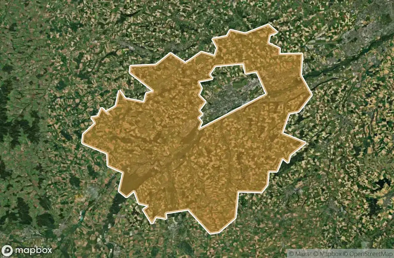
21 พิกัด GPS ที่ตรวจสอบแล้วในจังหวัด Wels Land, Oberosterreich, ออสเตรีย.
กำลังมองหาสถานที่ร้างในWels Land, Oberosterreich, ออสเตรียอยู่ใช่ไหม? Urbex Maps มีพิกัด GPS ที่ตรวจสอบแล้ว 21 แห่งของอาคารร้างในพื้นที่นี้ รวมถึง บังเกอร์, ทหาร, ซากปรักหักพัง
21
จุดที่ตรวจสอบแล้ว
GPS
Google Maps, Waze
มิถุนายน 2569
อัปเดตล่าสุด
จะหาสถานที่ร้างในWels Landได้ที่ไหน?
วิธีที่ดีที่สุดในการค้นหาสถานที่ร้างในWels Landคือผ่านแผนที่ Urbex แบบโต้ตอบบน Urbex Maps พร้อมพิกัด GPS ที่ตรวจสอบแล้ว 21 แห่ง ประเภทหลัก ๆ ได้แก่ บังเกอร์, ทหาร, ซากปรักหักพัง
ประเภทสถานที่ร้างในWels Land
- บังเกอร์
- ทหาร
- ซากปรักหักพัง
จุดใน Wels Land

Hetzendorf, Weißkirchen an der Traun

Marchtrenk

Secrets of the Crimson Grange

Shadows Beneath the Emerald Veil

Shadows of the Crimson Grange

Shadows of the Crimson Grange

Shadows of the Strangled Estate

Stadl-Paura

The Broken Crown of Industry

The Hollow Heart of Harvest

The Hollow Heart of Harvest

The Imported Geometric Void

The Labyrinth of Verdant Shadows

The Sentinel of the Silent Rail

The Shrouded Industrial Monolith

The Silent Gables of Crimson Rise

The Silent Grip of Verdant Lane

Threshold of the Vanished Sky

Where the Furrows End

Whispers of the Forgotten Junction

Whispers of the Tangled Hearth