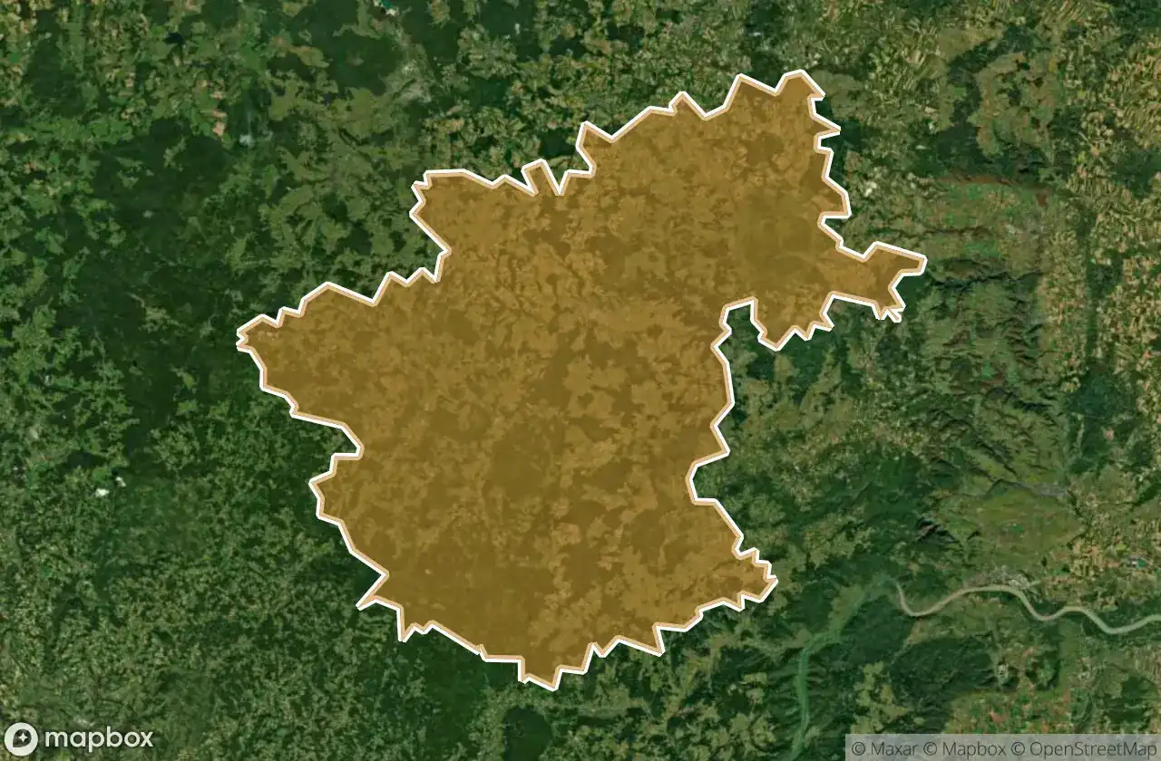
แผนที่ Urbex Zwettl
18 สถานที่ร้างใน Zwettl
18
จุด
ชำระครั้งเดียว - เข้าถึงตลอดชีพ
การชำระเงินปลอดภัย 100%
การเชื่อมต่อเข้ารหัส SSL · ไม่จัดเก็บข้อมูลธนาคาร
อัปเดตตลอดชีวิต
ธีมที่รวมอยู่ในแพ็คนี้
- โบสถ์
- ซากปรักหักพัง
สถานที่ร้างทั้งหมดใน Zwettl
18 พิกัด GPS ที่ตรวจสอบแล้วในจังหวัด Zwettl, Niederosterreich, ออสเตรีย.
กำลังมองหาสถานที่ร้างในZwettl, Niederosterreich, ออสเตรียอยู่ใช่ไหม? Urbex Maps มีพิกัด GPS ที่ตรวจสอบแล้ว 18 แห่งของอาคารร้างในพื้นที่นี้ รวมถึง โบสถ์, ซากปรักหักพัง
18
จุดที่ตรวจสอบแล้ว
GPS
Google Maps, Waze
มิถุนายน 2569
อัปเดตล่าสุด
จะหาสถานที่ร้างในZwettlได้ที่ไหน?
วิธีที่ดีที่สุดในการค้นหาสถานที่ร้างในZwettlคือผ่านแผนที่ Urbex แบบโต้ตอบบน Urbex Maps พร้อมพิกัด GPS ที่ตรวจสอบแล้ว 18 แห่ง ประเภทหลัก ๆ ได้แก่ โบสถ์, ซากปรักหักพัง
ประเภทสถานที่ร้างในZwettl
- โบสถ์
- ซากปรักหักพัง
จุดใน Zwettl

Hirschenschlag

L7051, Pölla

L7300, Harruck

L7310, Riebeis

Oberrabenthan, Kirchbach

Ritschgraben, Kleinweißenbach

Ritschgraben, Kleinweißenbach

Ruine Lichtenfels, Zwettl-Niederösterreich

Shadows of the Grand Foundation

Teufelskirche, Pölla

The Dormant Iron Heart

The Geometry Of Silence

The Parish of Silent Stones

The Sentry Under the Roots

The Splintered Sentinel of Dust

Thomaskircherl, Mitterreith

Whispers of the Dark Gables

Zwettl-Niederösterreich