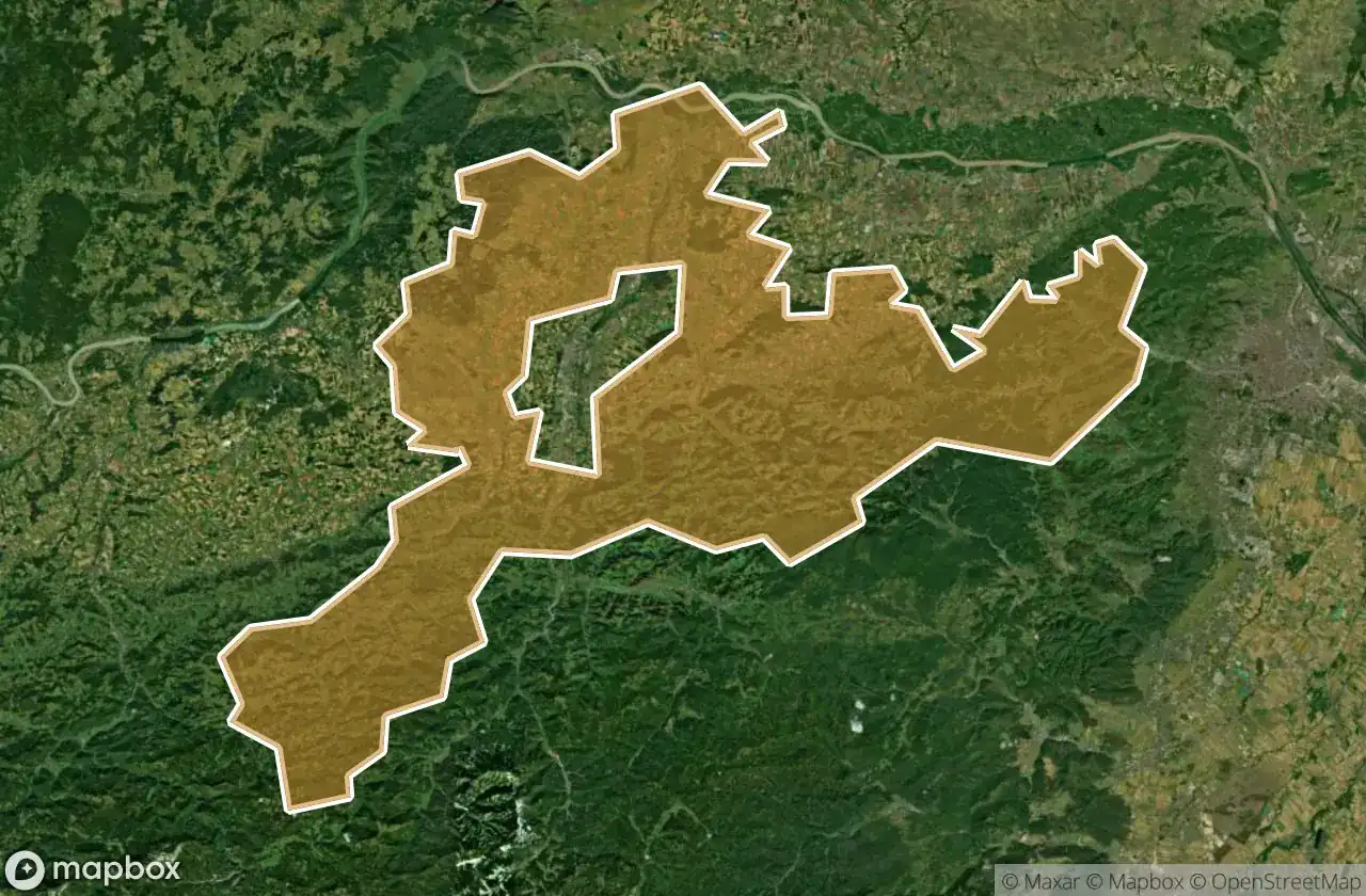
แผนที่ Urbex Sankt Polten Land
32 สถานที่ร้างใน Sankt Polten Land
32
จุด
ชำระครั้งเดียว - เข้าถึงตลอดชีพ
การชำระเงินปลอดภัย 100%
การเชื่อมต่อเข้ารหัส SSL · ไม่จัดเก็บข้อมูลธนาคาร
อัปเดตตลอดชีวิต
ธีมที่รวมอยู่ในแพ็คนี้
- ปราสาท
- บ้านร้าง
สถานที่ร้างทั้งหมดใน Sankt Polten Land
32 พิกัด GPS ที่ตรวจสอบแล้วในจังหวัด Sankt Polten Land, Niederosterreich, ออสเตรีย.
กำลังมองหาสถานที่ร้างในSankt Polten Land, Niederosterreich, ออสเตรียอยู่ใช่ไหม? Urbex Maps มีพิกัด GPS ที่ตรวจสอบแล้ว 32 แห่งของอาคารร้างในพื้นที่นี้ รวมถึง ปราสาท, บ้านร้าง
32
จุดที่ตรวจสอบแล้ว
GPS
Google Maps, Waze
มิถุนายน 2569
อัปเดตล่าสุด
จะหาสถานที่ร้างในSankt Polten Landได้ที่ไหน?
วิธีที่ดีที่สุดในการค้นหาสถานที่ร้างในSankt Polten Landคือผ่านแผนที่ Urbex แบบโต้ตอบบน Urbex Maps พร้อมพิกัด GPS ที่ตรวจสอบแล้ว 32 แห่ง ประเภทหลัก ๆ ได้แก่ ปราสาท, บ้านร้าง
ประเภทสถานที่ร้างในSankt Polten Land
- ปราสาท
- บ้านร้าง
จุดใน Sankt Polten Land

Angern, Großhain

Außerkasten, Furth bei Außerkasten

Burgruine Wasen, Maria Anzbach

Echoes of the Inbound Grid

Gablitz

Grubtal, Wilhelmsburg

Gunersdorf, Perersdorf

Obereichen, Raipoltenbach

Purkersdorf

Reith, Wilhelmsburg

Rennweg, Plosdorf

Secrets of the Verdant Homestead

Shadows of the Sunken Gable

Shadows of the Verdant Maw

The Emerald Shroud of Suburbia

The Geometry of Absence

The Geometry of Silence

The Geometry of Silence

The Hearth Among the Roots

The House of Broken Skies

The Latent Coordinates

The Mapped Silence

Traces of the Imported Void

Troppbergstraße, Tullnerbach

Weinriedenweg, Reichersdorf

Where the Faded Track Ends

Whispers Beneath the Crimson Roof

Whispers of the Green Divide

Whispers of the Red Gable

Wilhelmsburg

Wolfsgraben

Wolfsgraben