Mapa Urbex Durham
46 lugares abandonados em Durham
46
locais
Pagamento único - acesso vitalício
Pagamento 100% seguro
Conexão SSL criptografada · Sem armazenamento de dados bancários
Atualizações vitalícias
Todos os lugares abandonados de Durham
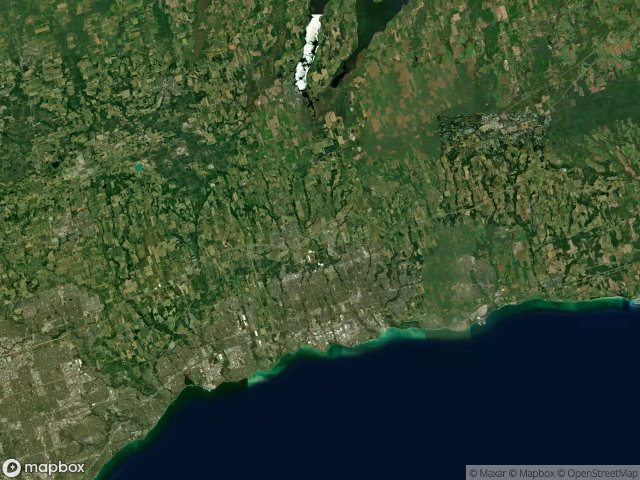
46 coordenadas GPS verificadas no departamento de Durham, Ontario, Canadá.
Procura lugares abandonados em Durham, Ontario, Canadá? Urbex Maps oferece 46 coordenadas GPS verificadas de edificios abandonados nesta zona, incluindo .
46
spots verificados
GPS
Google Maps, Waze
junho de 2026
ultima atualizacao
Onde encontrar lugares abandonados em Durham?
Os lugares abandonados em Durham encontram-se melhor atraves do mapa urbex interativo do Urbex Maps com 46 coordenadas GPS verificadas.
Spots em Durham

9th Concession Road, Pickering

A Vector Into Silence

Belford, Pickering

Bowmanville POW camp, Bowmanville

Brougham, Pickering

Brown Street, Bowmanville

Central, Oshawa

Concession Road 3, Newcastle

Concession Road 5, Clarington

Concession Road 5, Orono

Concession Road 6, Uxbridge

Concession Street East, Clarington

Deckers Hill, Pickering

Finch Avenue, Pickering

Island Road, Port Perry

Longsault Road, Clarington

Macedonian Village, Whitby

Manchester, Scugog

Myrtle Station, Whitby

Oshawa

Regional Road 3, Enniskillen

Service Road, Newcastle

Seventh Concession Road, Pickering

Shadows of the Vector

Simcoe Street, Scugog

Stevenson, Whitby

Talbot, Brock

Taplin Drive, Pickering

The Geometry of Echoes

The Geometry of Silence

The Geometry of Silence

The Imported Phantom Grid

The Imported Silence

The Latent Coordinate

The Plotted Void Remains

The Vector's Silent Trace

Traced Within the Metadata

Traces Of A Ghost Map

Traces Within the Grid

Traces of Mapped Silence

Traces of the Grid

Tracing the Ghost Nodes

Vertices of the Void

Victoria Street East, Whitby

West Shore, Pickering

York Durham Line, Uxbridge