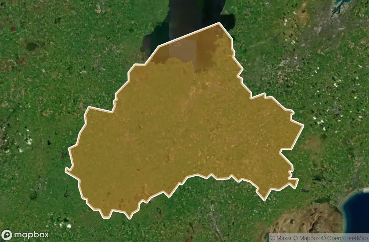
Mapa Urbex Armagh City Banbridge And Craig
19 lugares abandonados em Armagh City Banbridge And Craig
19
locais
Pagamento único - acesso vitalício
Pagamento 100% seguro
Conexão SSL criptografada · Sem armazenamento de dados bancários
Atualizações vitalícias
Todos os lugares abandonados de Armagh City Banbridge And Craig
19 coordenadas GPS verificadas no departamento de Armagh City Banbridge And Craig, Northern Ireland, Reino Unido.
Procura lugares abandonados em Armagh City Banbridge And Craig, Northern Ireland, Reino Unido? Urbex Maps oferece 19 coordenadas GPS verificadas de edificios abandonados nesta zona, incluindo .
19
spots verificados
GPS
Google Maps, Waze
junho de 2026
ultima atualizacao
Onde encontrar lugares abandonados em Armagh City Banbridge And Craig?
Os lugares abandonados em Armagh City Banbridge And Craig encontram-se melhor atraves do mapa urbex interativo do Urbex Maps com 19 coordenadas GPS verificadas.
Spots em Armagh City Banbridge And Craig

Ann Street, Gilford

Annaghmore Road, Armagh City, Banbridge and Craigavon District Council

Ballydown Road, Banbridge

Castlewellan Road, Banbridge

Derryraine Road, Armagh

Glebe Hill Manor, Tandragee

Harford Street, Portadown

Huntly Way, Banbridge

Killycomain Road, Portadown

Laurelvale Road, Laurelvale

Moss Bann Road, Banbridge

Old Sugar Island Road, Bleary

Residual Traces of the Grid

Shadows of the Vector

The Forgotten Coordinate

The Latent Coordinate

Traces of Mapped Silence

Vertices of the Silent

Windsor Avenue, Lurgan