Mapa Urbex Nordfriesland
39 lugares abandonados em Nordfriesland
39
locais
Pagamento único - acesso vitalício
Pagamento 100% seguro
Conexão SSL criptografada · Sem armazenamento de dados bancários
Atualizações vitalícias
Temas incluídos neste pack
- Ruinas
Todos os lugares abandonados de Nordfriesland
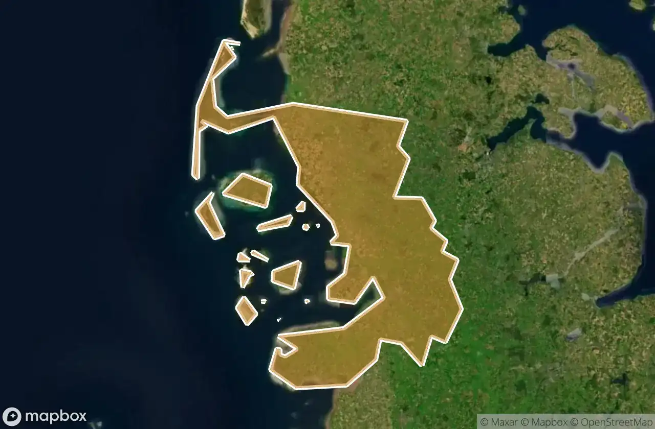
39 coordenadas GPS verificadas no departamento de Nordfriesland, Schleswig Holstein, Alemanha.
Procura lugares abandonados em Nordfriesland, Schleswig Holstein, Alemanha? Urbex Maps oferece 39 coordenadas GPS verificadas de edificios abandonados nesta zona, incluindo Ruinas.
39
spots verificados
GPS
Google Maps, Waze
junho de 2026
ultima atualizacao
Onde encontrar lugares abandonados em Nordfriesland?
Os lugares abandonados em Nordfriesland encontram-se melhor atraves do mapa urbex interativo do Urbex Maps com 39 coordenadas GPS verificadas.
Tipos de lugares abandonados em Nordfriesland
- Ruinas
Spots em Nordfriesland

Alte Kirche, Pellworm

Badallee, Sankt Peter-Dorf

Bahnhofstraße, Tönning

Bahnhofstraße, Wimmersbüll

Borgsum

Dorfstraße, Sankt Peter-Dorf

Eiscafé Cappuccino, Norddorf auf Amrum

Engesande, Enge

Holbekweg, Schwabstedt

Im Bad, Sankt Peter-Bad

Imported Coordinate Shadows

K 44, Langeneß

Karkenweg, Drelsdorf

Koogstraße, Tümlauer Koog

Lister Straße, Kampen (Sylt)

Norddorf

Nordermitteldeich, Pellworm

Oberdorf, Bondelum

Obere Wandelbahn, Wittdün auf Amrum

Parkplatz Dockkoog, Husum

Porrendeich, Uelvesbüll

Residual Coordinate Fragments

Seegarden, Tammensiel

Shadows of the Imported Grid

Shadows of the Imported Grid

Stollberg, West-Bordelum

Strandweg, Ording

The Geometry of Silence

The Geometry of Silence

The Ghost in the Grid

The Imported Geometric Ghost

The Latent Coordinate Echo

The Latent Geometry

The Mapped Void

The Plotted Void

Traced Coordinates of Silence

Traces of the Grid

Traces of the Grid

Traces of the Imported Grid