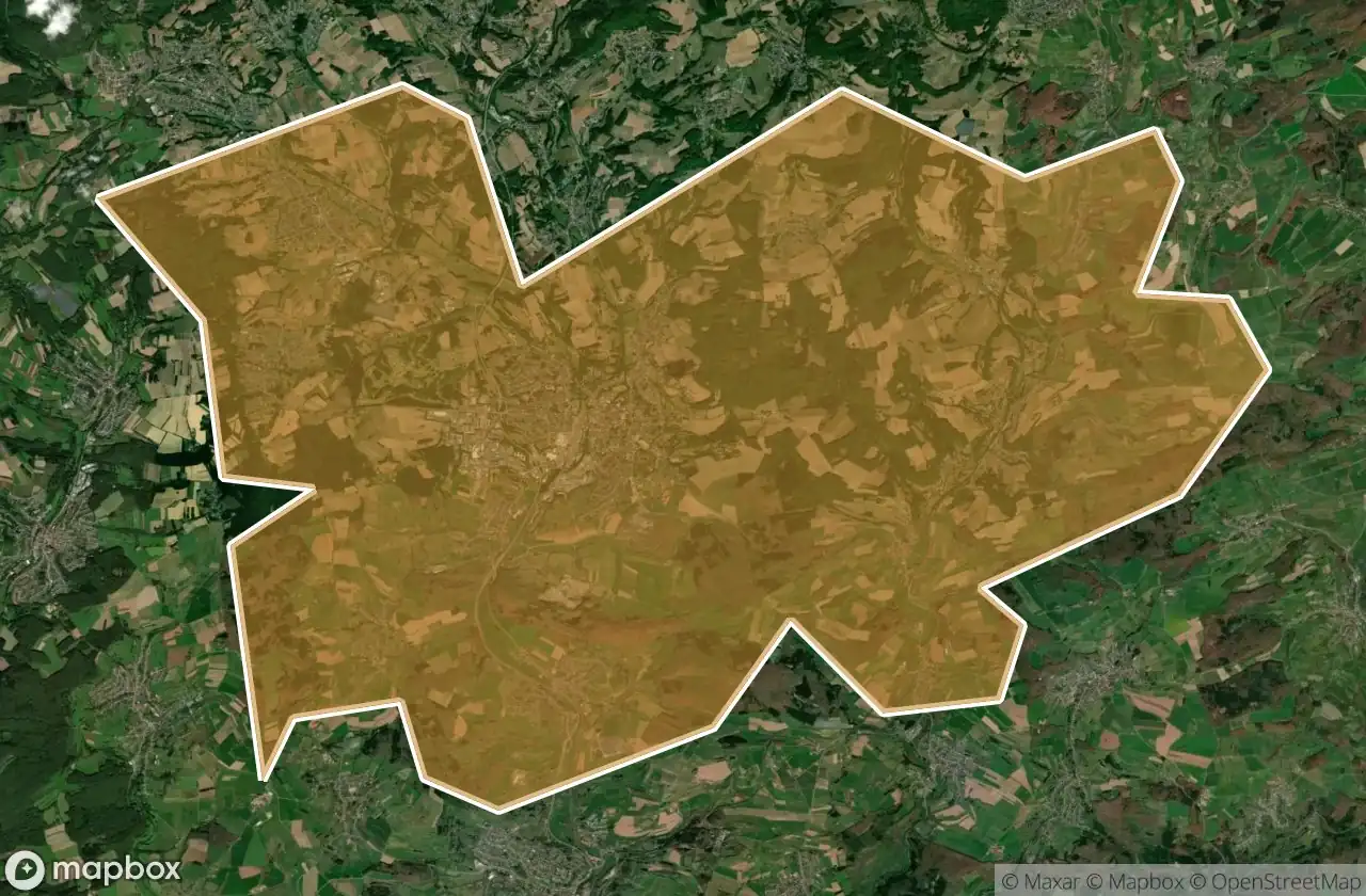
Mapa Urbex St Wendel
55 lugares abandonados em St Wendel
55
locais
Pagamento único - acesso vitalício
Pagamento 100% seguro
Conexão SSL criptografada · Sem armazenamento de dados bancários
Atualizações vitalícias
Temas incluídos neste pack
- Bunkers
- Militar
- Ruinas
Todos os lugares abandonados de St Wendel
55 coordenadas GPS verificadas no departamento de St Wendel, Saarland, Alemanha.
Procura lugares abandonados em St Wendel, Saarland, Alemanha? Urbex Maps oferece 55 coordenadas GPS verificadas de edificios abandonados nesta zona, incluindo Bunkers, Militar, Ruinas.
55
spots verificados
GPS
Google Maps, Waze
junho de 2026
ultima atualizacao
Onde encontrar lugares abandonados em St Wendel?
Os lugares abandonados em St Wendel encontram-se melhor atraves do mapa urbex interativo do Urbex Maps com 55 coordenadas GPS verificadas.
Tipos de lugares abandonados em St Wendel
- Bunkers
- Militar
- Ruinas
Spots em St Wendel

Auenhof, Hirstein

Auf dem Schaumberg, Tholey

Auf der Lehn, Nohfelden

Bahnradweg Sankt Wendeler Land, Freisen

Bosen

Buchwaldstraße, Nohfelden

Eichenstraße, Freisen

Flächenbachstraße, Bliesen

Harschberger Hof, Sankt Wendel

Hinterwiesstraße, Freisen

Hubertusstraße, Nonnweiler

Höckerlinie (Westwall), Nonnweiler

Im Ambruch, Namborn

In der Held, Nonnweiler

In der Kripp, Nonnweiler

K 62, Hahnweiler

K 62, Hahnweiler

Keltenring, Winterbach

L 134, Sankt Wendel

L 134, Sankt Wendel

L 319, Nohfelden

L 322, Nohfelden

L 322, Nohfelden

Löschbachstraße, Nohfelden

Mainzweiler

Mariahütte, Nonnweiler

Moosbruchweg, Nonnweiler

Namborn

Neuhutten

Obersötern, Nohfelden

Schloßstraße, Nohfelden

Shadows In The Coordinates

Shadows of the Vector

The Geometry of Silence

The Geometry of Silence

The Imported Geometry

The Imported Silence

The Imported Silent Vector

The Imported Void

The Imported Void

The Map’s Silent Echo

Tholey

Traced From Silent Coordinates

Traces of the Mapped Void

Traces of the Mapped Void

Walhausener Weg, Oberthal

Walhausener Weg, Oberthal

Water storage bunker

Wiesentalstraße, Namborn

Wiesentalstraße, Namborn

Zollsiedlung, Nohfelden

Zollsiedlung, Nohfelden

Zollsiedlung, Nohfelden

Zollsiedlung, Nohfelden

Zum Heidenkopf, Nohfelden