Urbex-kaart Inyo
29 verlaten plekken in Inyo
29
spots
Eenmalige betaling - levenslang toegang
Gratis updates voor het leven
Thema's in dit pakket
- Bunkers
- Forten
- Ruines
- Mijnen
- mining
- Spooksteden
- works
Alle verlaten plekken in Inyo
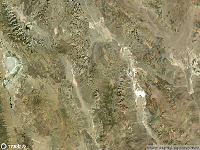
29 geverifieerde GPS-coördinaten in het departement Inyo, California, Verenigde Staten.
Looking for abandoned places in Inyo, California, Verenigde Staten? Urbex Maps offers 29 verified GPS coordinates of abandoned buildings in this area, including Bunkers, Forten, Ruines, Mijnen, mining, Spooksteden.
29
verified spots
GPS
Google Maps, Waze
juni 2026
last update
Where to find abandoned places in Inyo?
The best way to find abandoned places in Inyo is through the interactive urbex map on Urbex Maps with 29 verified GPS coordinates. Top categories are Bunkers, Forten, Ruines, Mijnen, mining, Spooksteden.
Types of abandoned places in Inyo
- Bunkers
- Forten
- Ruines
- Mijnen
- mining
- Spooksteden
- works
Spots in Inyo

Ballarat

Barker Ranch

Bennetts Well

Cartago

Cerro Gordo Ghost Town

Charcoal Kilns

Dublin Gulch Cave Homes

East Market Street, Darwin

Harmony Borax Works Trail

Inyo County, California

Inyo County, California

Inyo County, California

Inyo County, California

Inyo Mine

Keane Wonder Mine Trail

Keeler

Keeler

Laws Railroad Museum, Bishop

Ratcliff Mine

Searles Valley

Searles Valley

The Geometry of Absence

The Geometry of Silence

The Mapped Absence

The Mapped Void

Titus Canyon Road

Traced Within The Grid

Traces of the Imported Void

Ubehebe Crater Road
