Urbex-kaart Stirling
14 verlaten plekken in Stirling
14
spots
Eenmalige betaling - levenslang toegang
100% veilige betaling
SSL-versleutelde verbinding · Geen bankgegevens opgeslagen
Gratis updates voor het leven
Thema's in dit pakket
- Bunkers
- Militair
Alle verlaten plekken in Stirling
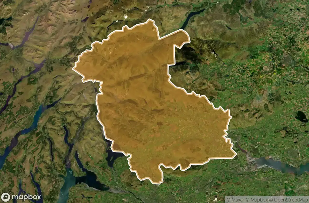
14 geverifieerde GPS-coördinaten in het departement Stirling, Scotland, Verenigd Koninkrijk.
Looking for abandoned places in Stirling, Scotland, Verenigd Koninkrijk? Urbex Maps offers 14 verified GPS coordinates of abandoned buildings in this area, including Bunkers, Militair.
14
verified spots
GPS
Google Maps, Waze
juni 2026
last update
Where to find abandoned places in Stirling?
The best way to find abandoned places in Stirling is through the interactive urbex map on Urbex Maps with 14 verified GPS coordinates. Top categories are Bunkers, Militair.
Types of abandoned places in Stirling
- Bunkers
- Militair
Spots in Stirling

A9, Dunblane

Callander

Dunblane

Echoes Of Plotted Earth

Finlarig Castle

Inchmahome Priory, Aberfoyle

Lost insurance building

Plean Mill Road, Stirling

Shadows In The Grid

Stirling

Stirling

The Ghost Data Trace

Traces of Lost Geometry

William Simpson's Home, Plean