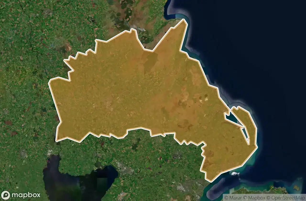
Urbex-kaart Mid And East Antrim
15 verlaten plekken in Mid And East Antrim
15
spots
Eenmalige betaling - levenslang toegang
100% veilige betaling
SSL-versleutelde verbinding · Geen bankgegevens opgeslagen
Gratis updates voor het leven
Alle verlaten plekken in Mid And East Antrim
15 geverifieerde GPS-coördinaten in het departement Mid And East Antrim, Northern Ireland, Verenigd Koninkrijk.
Looking for abandoned places in Mid And East Antrim, Northern Ireland, Verenigd Koninkrijk? Urbex Maps offers 15 verified GPS coordinates of abandoned buildings in this area, including .
15
verified spots
GPS
Google Maps, Waze
juni 2026
last update
Where to find abandoned places in Mid And East Antrim?
The best way to find abandoned places in Mid And East Antrim is through the interactive urbex map on Urbex Maps with 15 verified GPS coordinates. Top categories are .
Spots in Mid And East Antrim

Adelaide Avenue, Whitehead

Belfast Road, Carrickfergus

Coast Road, Larne

Larne Road, Carrickfergus

Larne Road, Whitehead

Mullaghmore Park, Greenisland

Queen Street, Ballymena

Shadows in the Coordinates

Spooky palace

The Geometry of Silence

The Imported Silent Geometry

The Mapped Silence

Traces of Latent Geometry

Vectors of Forgotten Space

Whitehead Congregational Church, Whitehead