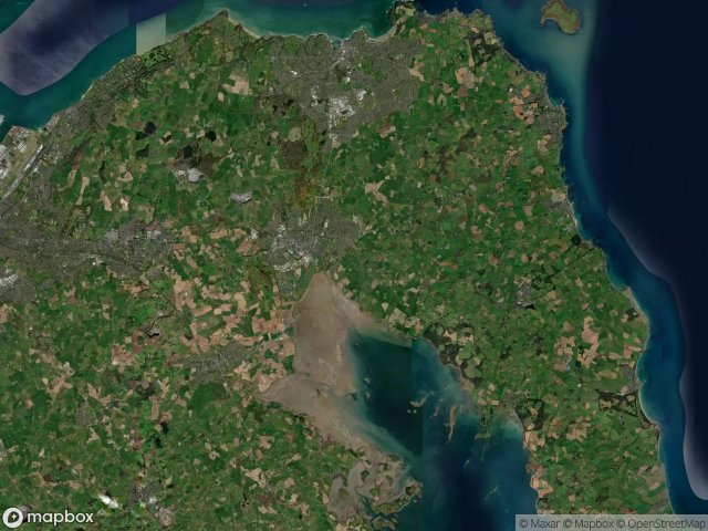
Urbex-kaart Ards And North Down
16 verlaten plekken in Ards And North Down
16
spots
Eenmalige betaling - levenslang toegang
100% veilige betaling
SSL-versleutelde verbinding · Geen bankgegevens opgeslagen
Gratis updates voor het leven
Thema's in dit pakket
- Ruines
Alle verlaten plekken in Ards And North Down
16 geverifieerde GPS-coördinaten in het departement Ards And North Down, Northern Ireland, Verenigd Koninkrijk.
Looking for abandoned places in Ards And North Down, Northern Ireland, Verenigd Koninkrijk? Urbex Maps offers 16 verified GPS coordinates of abandoned buildings in this area, including Ruines.
16
verified spots
GPS
Google Maps, Waze
juni 2026
last update
Where to find abandoned places in Ards And North Down?
The best way to find abandoned places in Ards And North Down is through the interactive urbex map on Urbex Maps with 16 verified GPS coordinates. Top categories are Ruines.
Types of abandoned places in Ards And North Down
- Ruines
Spots in Ards And North Down

Ards Maltings

Balloo Road, Bangor

Ballymacormick Drive, Groomsport

Bridge Street, Comber

Clandeboye Forest Path, Newtownards

Creighton's Green Road, Holywood

Kirkistown, Ards and North Down District Council

Oasis, Bangor

Patchy's Lane (Designated Footpath 65), Newtownards

Portaferry Windmill

Portavogie

Royal Mail, Bangor

The Geometry of Silence

The Geometry of Silence

The Latent Digital Ghost

The Residual Vector Trace