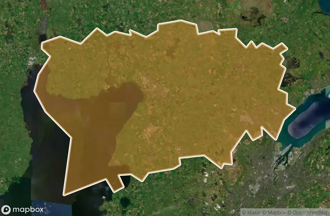
Urbex-kaart Antrim And Newtownabbey
19 verlaten plekken in Antrim And Newtownabbey
19
spots
Eenmalige betaling - levenslang toegang
100% veilige betaling
SSL-versleutelde verbinding · Geen bankgegevens opgeslagen
Gratis updates voor het leven
Alle verlaten plekken in Antrim And Newtownabbey
19 geverifieerde GPS-coördinaten in het departement Antrim And Newtownabbey, Northern Ireland, Verenigd Koninkrijk.
Looking for abandoned places in Antrim And Newtownabbey, Northern Ireland, Verenigd Koninkrijk? Urbex Maps offers 19 verified GPS coordinates of abandoned buildings in this area, including .
19
verified spots
GPS
Google Maps, Waze
juni 2026
last update
Where to find abandoned places in Antrim And Newtownabbey?
The best way to find abandoned places in Antrim And Newtownabbey is through the interactive urbex map on Urbex Maps with 19 verified GPS coordinates. Top categories are .
Spots in Antrim And Newtownabbey

Antrim Road, Antrim and Newtownabbey District

Castle Lug, Antrim and Newtownabbey District

Crumlin

Grange Lane, Antrim and Newtownabbey District

Grange Lane, Antrim and Newtownabbey District

Hydepark Road, Antrim and Newtownabbey District

M2, Antrim and Newtownabbey District

Mallusk Road, Antrim and Newtownabbey District

Old Church Road, Newtownabbey

Riverside Special School, Antrim

The Geometry of Absence

The Grid’s Silent Echo

The Imported Silence

The Phantom Coordinate

The Plotted Void

Traces of Deleted Space

Traces of the Imported Void

Vertices Of A Silence

Whiteabbey Hospital, Newtownabbey