Urbex-kaart Somerset
61 verlaten plekken in Somerset
61
spots
Eenmalige betaling - levenslang toegang
100% veilige betaling
SSL-versleutelde verbinding · Geen bankgegevens opgeslagen
Gratis updates voor het leven
Thema's in dit pakket
- Verlaten huizen
- Bunkers
- Ziekenhuizen
- Scholen
- Militair
- motte
- Kastelen
Alle verlaten plekken in Somerset
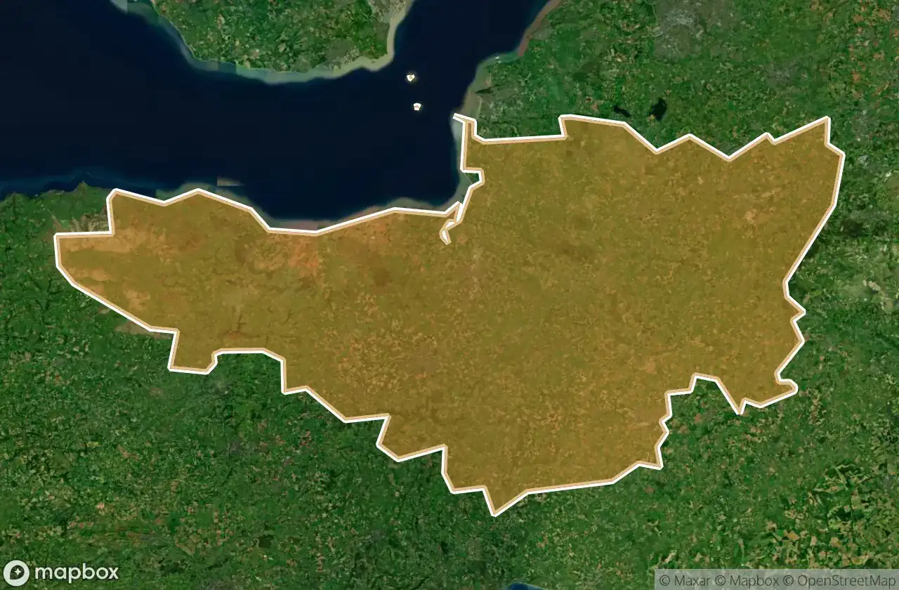
61 geverifieerde GPS-coördinaten in het departement Somerset, England, Verenigd Koninkrijk.
Looking for abandoned places in Somerset, England, Verenigd Koninkrijk? Urbex Maps offers 61 verified GPS coordinates of abandoned buildings in this area, including Verlaten huizen, Bunkers, Ziekenhuizen, Scholen, Militair, motte.
61
verified spots
GPS
Google Maps, Waze
juni 2026
last update
Where to find abandoned places in Somerset?
The best way to find abandoned places in Somerset is through the interactive urbex map on Urbex Maps with 61 verified GPS coordinates. Top categories are Verlaten huizen, Bunkers, Ziekenhuizen, Scholen, Militair, motte.
Types of abandoned places in Somerset
- Verlaten huizen
- Bunkers
- Ziekenhuizen
- Scholen
- Militair
- motte
- Kastelen
Spots in Somerset

A359, Sparkford

Abandoned Private School

Abbot's Kitchen, Glastonbury

Berhill, Ashcott

Bishops Lydeard

Bridgwater Without, Bridgwater

Brook Bank, Draycott

Buscott, Ashcott

Chilkwell Street, Glastonbury

Coastguard Lookout (ruins)

Comberow Incline Winding House

Cote, East Huntspill

Creech Saint Michael

Cricket St Thomas

Curry Rivel

Dean's Lane

Draydon Cottages, Dulverton

Farmhouse Battery, Weston-super-Mare

Foundations of Tom's house

Highbridge

Horsehill Farm, Evercreech

Jubilee Close, Castle Cary

King Alfred's Tower, Kilmington

King Arthur's Tomb, Glastonbury

King Arthur's Tomb, Glastonbury

Lipe Hill Lane, Trull

North Petherton

Old Cholera Hospital

Old Police Station, Frome

Oscar Mayer

Porlock Weir, Porlock

Porlock Weir, Porlock

Puriton

Quantock Lodge, Bridgwater

Royal Mail, Ashcott

Salmon Parade, Bridgwater

Scott Road, Burnham-on-Sea

Selworthy, Allerford

Selworthy, Porlock

Shorland Row, Castle Cary

Station Road, Taunton

Stoke-sub-Hamdon

The Shadowed Coordinate

Tonedale Mills, Tonedale

Wedmore

Westcombe, Batcombe

Westwood

Williton

Williton

Wiveliscombe

Wiveliscombe

Wiveliscombe

Yeo Valley, Stoford

Yeovil

Yeovil

Yeovil

Zig Zag Path, Weston-super-Mare

Zig Zag Path, Weston-super-Mare

Zig Zag Path, Weston-super-Mare

Zig Zag Path, Weston-super-Mare
+ 1 meer spots