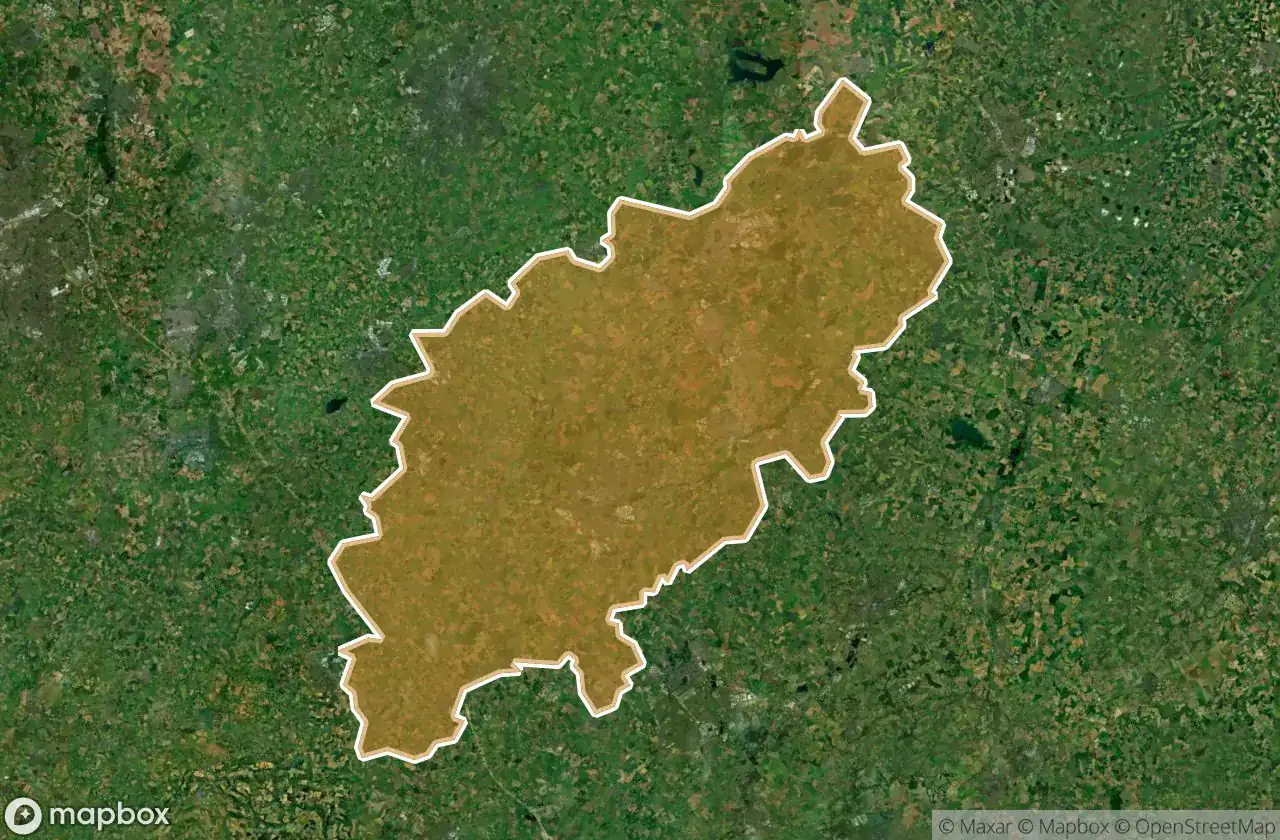
Urbex-kaart Northamptonshire
28 verlaten plekken in Northamptonshire
28
spots
Eenmalige betaling - levenslang toegang
100% veilige betaling
SSL-versleutelde verbinding · Geen bankgegevens opgeslagen
Gratis updates voor het leven
Thema's in dit pakket
- Ruines
- Verlaten huizen
- Stations
Alle verlaten plekken in Northamptonshire
28 geverifieerde GPS-coördinaten in het departement Northamptonshire, England, Verenigd Koninkrijk.
Looking for abandoned places in Northamptonshire, England, Verenigd Koninkrijk? Urbex Maps offers 28 verified GPS coordinates of abandoned buildings in this area, including Ruines, Verlaten huizen, Stations.
28
verified spots
GPS
Google Maps, Waze
juni 2026
last update
Where to find abandoned places in Northamptonshire?
The best way to find abandoned places in Northamptonshire is through the interactive urbex map on Urbex Maps with 28 verified GPS coordinates. Top categories are Ruines, Verlaten huizen, Stations.
Types of abandoned places in Northamptonshire
- Ruines
- Verlaten huizen
- Stations
Spots in Northamptonshire

Ashlar (1-25), Upton

Blatherwycke Road, King's Cliffe

Brixworth Railway Station

Chaombes Mews, Chacombe

Cotterstock

Daventry

Deanshanger

Foxhill Road, Long Buckby

Helmdon

High Street, Weston

Higham Road, Burton Latimer

Kettering

Langborough Barn

Litchborough

Litchborough

Lyveden New Bield

Milton Road, Oundle

Moulton Lane, Boughton

Passed Away House

Plumpton Lane, Woodend

Silverstone

Silverstone

St James Mill Road East, Northampton

St James Mill Road East, Northampton

The Clock Tower, Duston

Towcester

Welsh Lane, Helmdon

West Haddon Road, Guilsborough