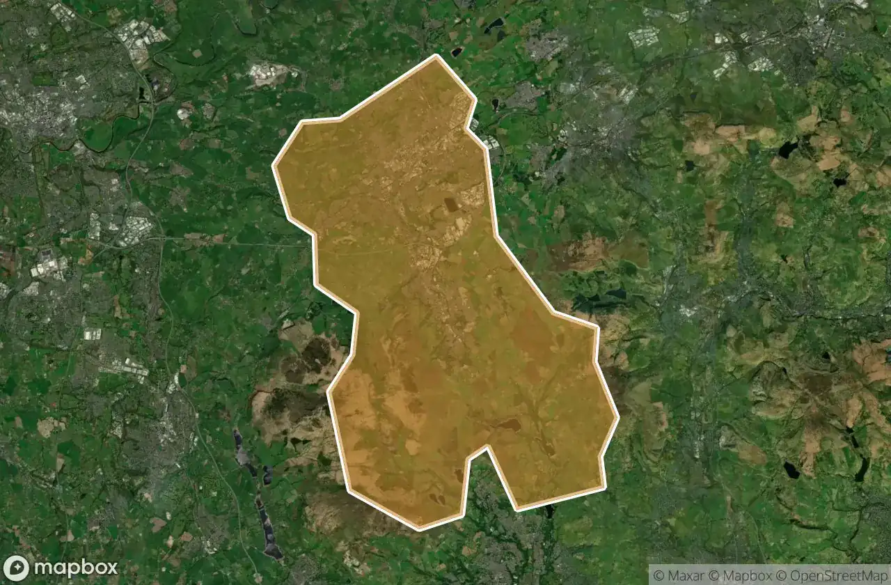
Urbex-kaart Blackburn With Darwen
17 verlaten plekken in Blackburn With Darwen
17
spots
Eenmalige betaling - levenslang toegang
100% veilige betaling
SSL-versleutelde verbinding · Geen bankgegevens opgeslagen
Gratis updates voor het leven
Thema's in dit pakket
- Boerderijen
- Kerken
Alle verlaten plekken in Blackburn With Darwen
17 geverifieerde GPS-coördinaten in het departement Blackburn With Darwen, England, Verenigd Koninkrijk.
Looking for abandoned places in Blackburn With Darwen, England, Verenigd Koninkrijk? Urbex Maps offers 17 verified GPS coordinates of abandoned buildings in this area, including Boerderijen, Kerken.
17
verified spots
GPS
Google Maps, Waze
juni 2026
last update
Where to find abandoned places in Blackburn With Darwen?
The best way to find abandoned places in Blackburn With Darwen is through the interactive urbex map on Urbex Maps with 17 verified GPS coordinates. Top categories are Boerderijen, Kerken.
Types of abandoned places in Blackburn With Darwen
- Boerderijen
- Kerken
Spots in Blackburn With Darwen

Bank Fold Lane, Belthorn

Coopers

Darwen

Fox Hill Farm

Griffin Lodge

Moor Side

North Turton, Blackburn with Darwen

Pickup Bank, Hoddlesden

Rivington Road, Belmont

Tockholes Road, Tockholes

Tottington

Tottington

Trace of the Imported Void

Traces From The Grid

Turton Moor, North Turton

Turton Moor, North Turton

Whittle's Farm