Urbex-kaart Sumy
140 verlaten plekken • 17 departementen
140
spots
Eenmalige betaling - levenslang toegang
100% veilige betaling
SSL-versleutelde verbinding · Geen bankgegevens opgeslagen
Gratis updates voor het leven
Thema's in dit pakket
- Boerderijen
- Ruines
Alle verlaten plekken in Sumy
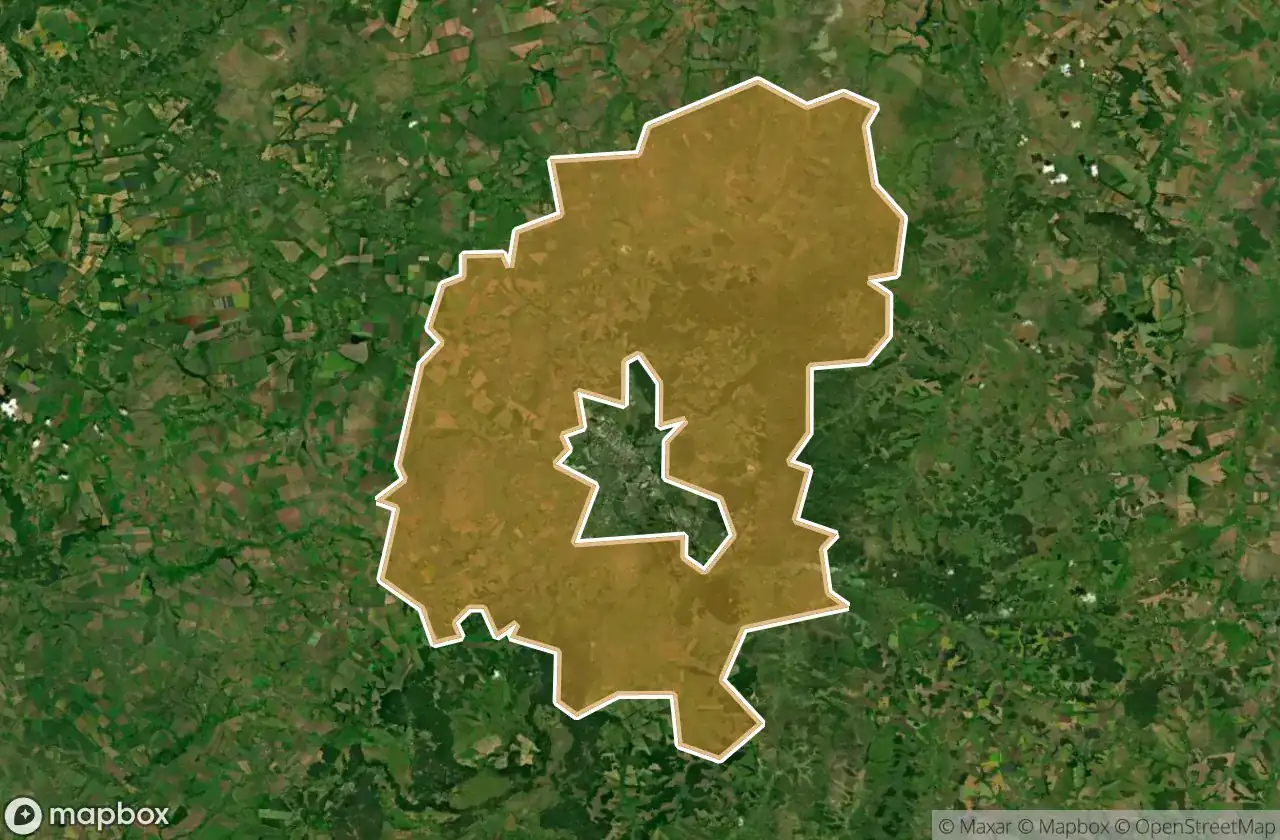
140 geverifieerde GPS-coördinaten in 17 departementen. Kastelen, industriële ruïnes, ziekenhuizen, bunkers, mijnen.
Looking for abandoned places in Sumy, Oekraïne? Urbex Maps offers an interactive urbex map with 140 verified GPS coordinates of abandoned buildings, including Boerderijen, Ruines. The map covers 17 areas including Sums Ka, Seredyno Buds Kyi, Lebedyns Kyi, Trostianets Kyi, Sums Kyi.
140
verified spots
17
areas covered
GPS
Google Maps, Waze
juni 2026
last update
Where to find abandoned places in Sumy?
The best way to find abandoned places in Sumy is through the interactive urbex map on Urbex Maps with GPS coordinates. The region has 140 verified locations across 17 areas, including Sums Ka, Seredyno Buds Kyi, Lebedyns Kyi, Trostianets Kyi, Sums Kyi. Top categories are Boerderijen, Ruines.
Abandoned places by area in Sumy
| Area | Spots | Map |
|---|---|---|
| Sums Ka | 26 | View map → |
| Seredyno Buds Kyi | 21 | View map → |
| Lebedyns Kyi | 20 | View map → |
| Trostianets Kyi | 18 | View map → |
| Sums Kyi | 17 | View map → |
| Konotops Kyi | 8 | View map → |
| Okhtyrs Kyi | 6 | View map → |
| Shostkins Kyi | 4 | View map → |
| Bilopils Kyi | 3 | View map → |
| Krasnopil S Kyi | 3 | View map → |
Types of abandoned places in Sumy
- Boerderijen
- Ruines
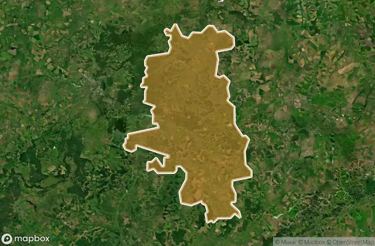
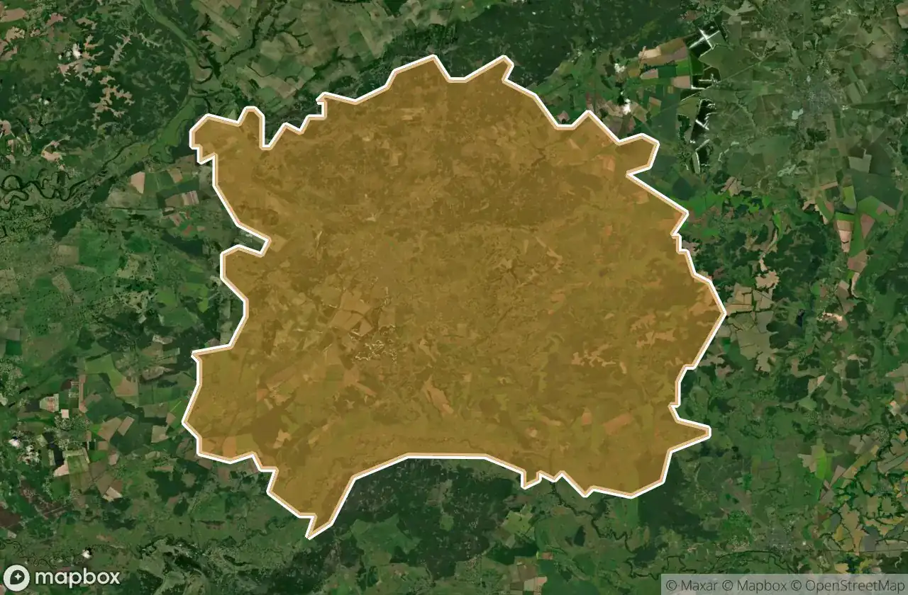
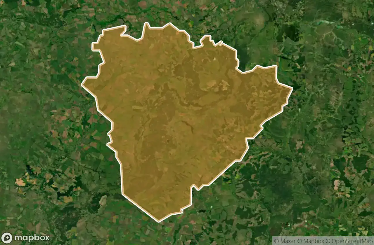
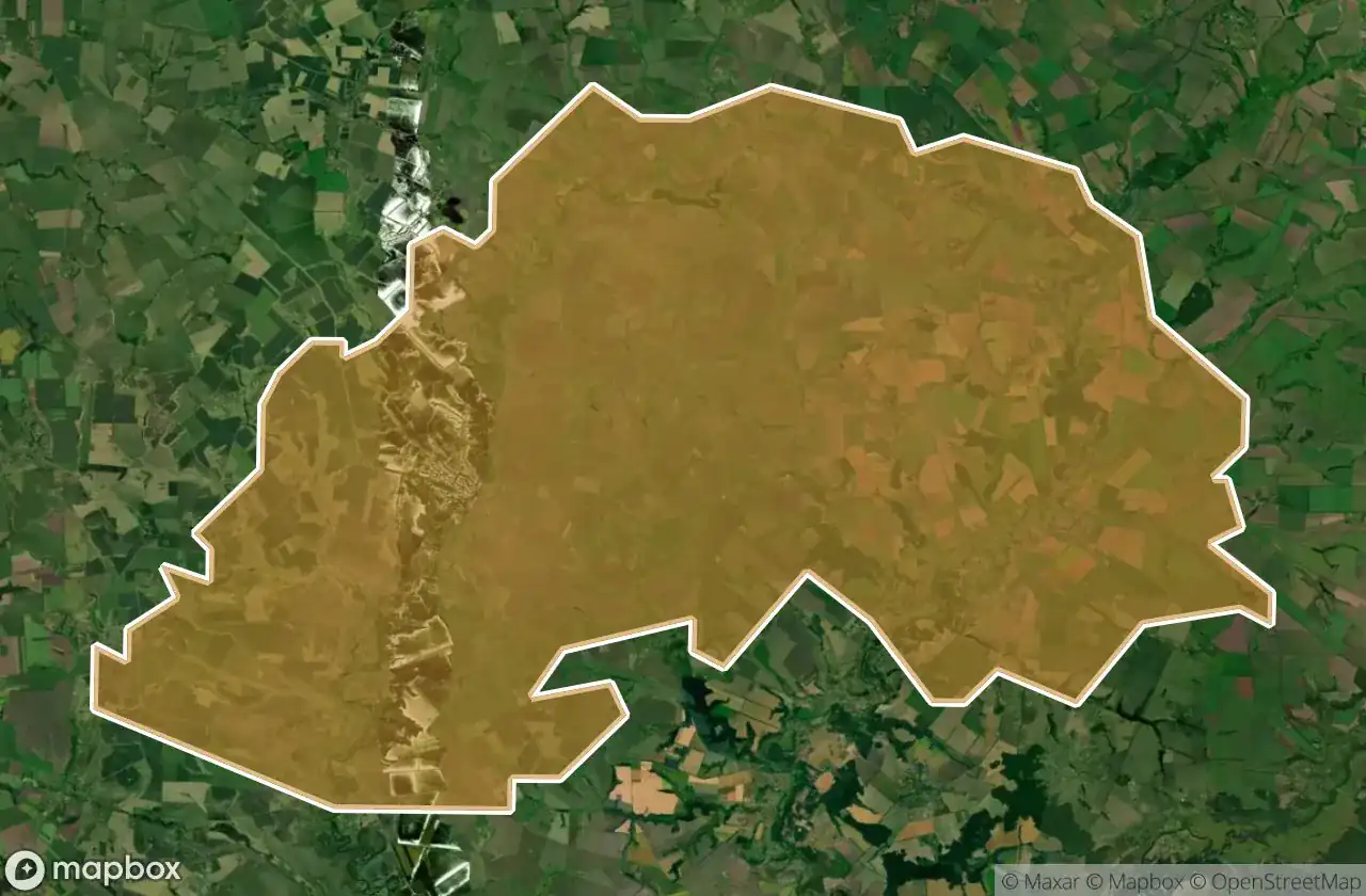
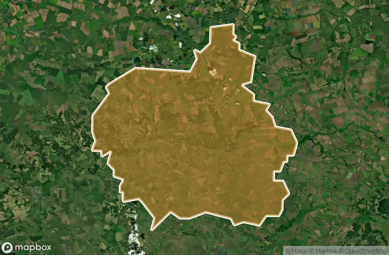
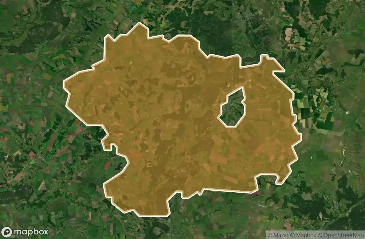
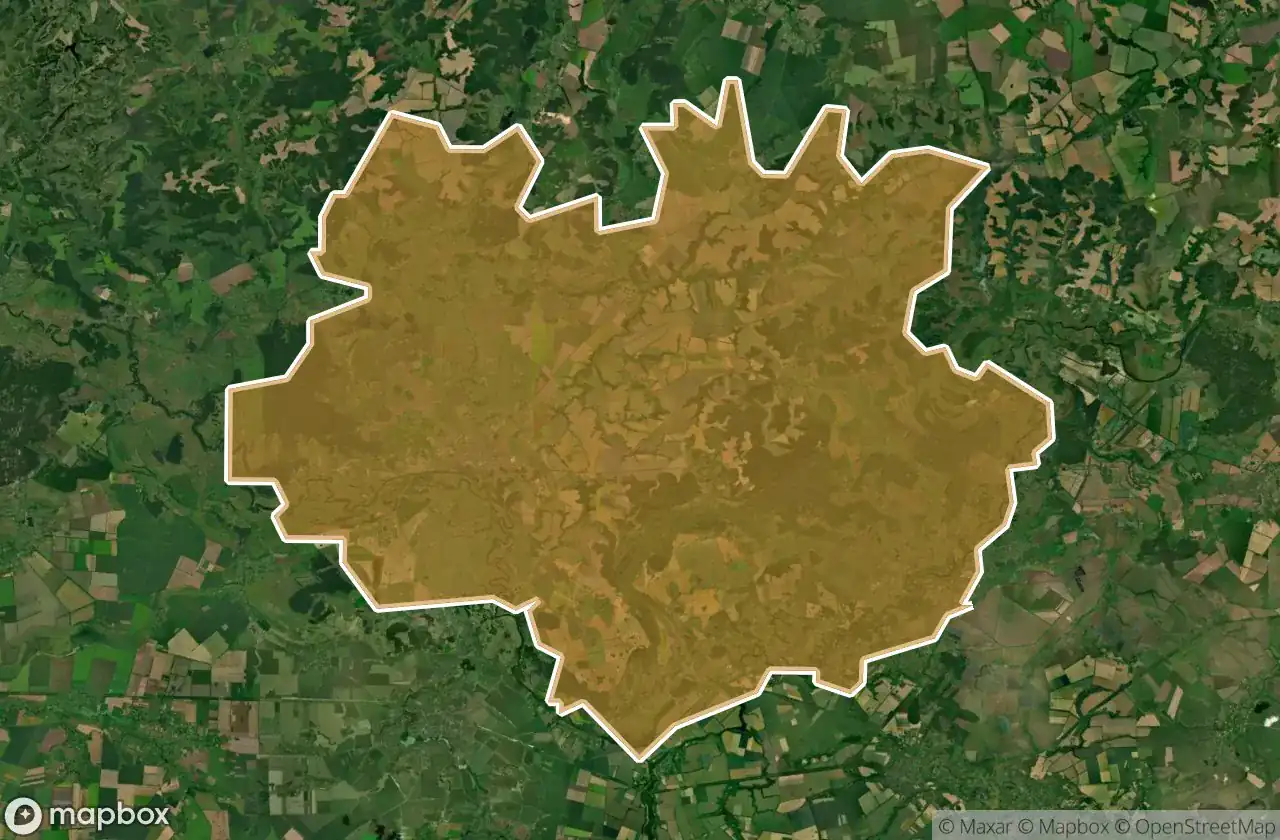
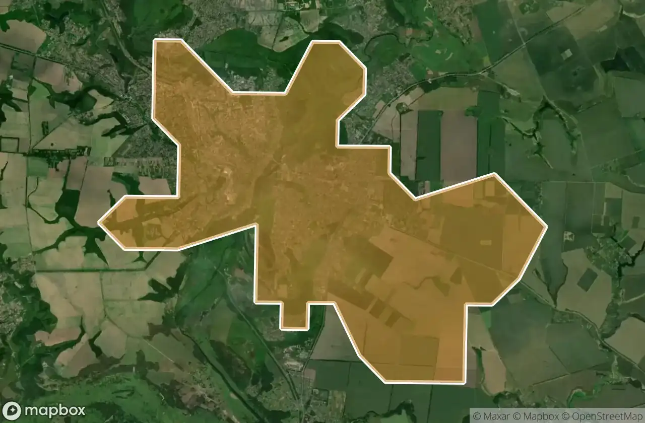
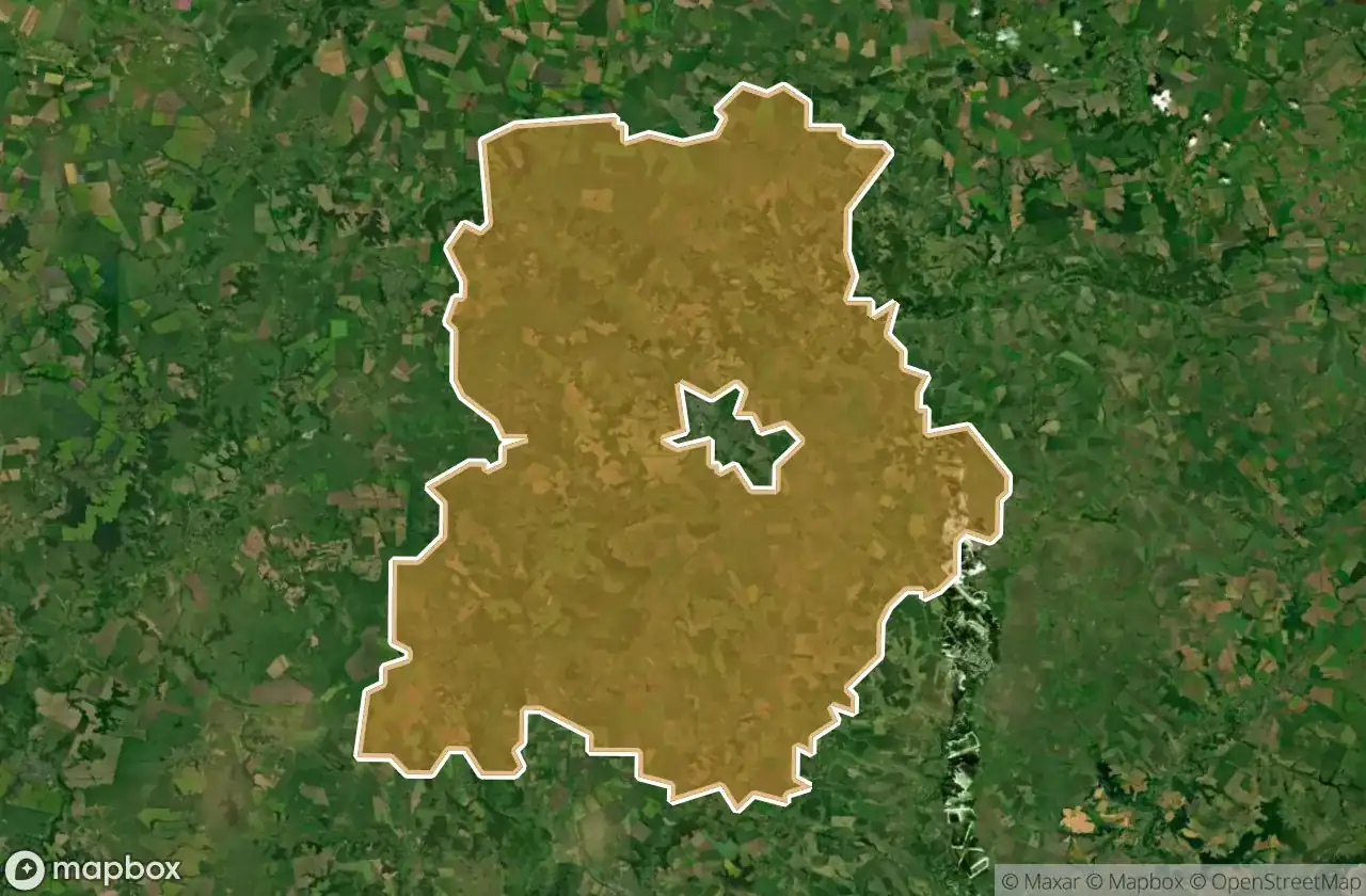
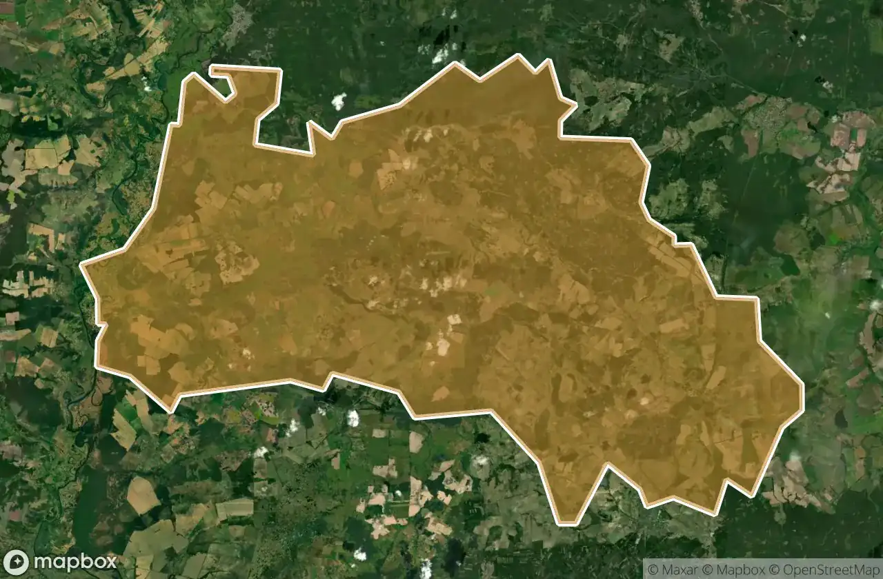
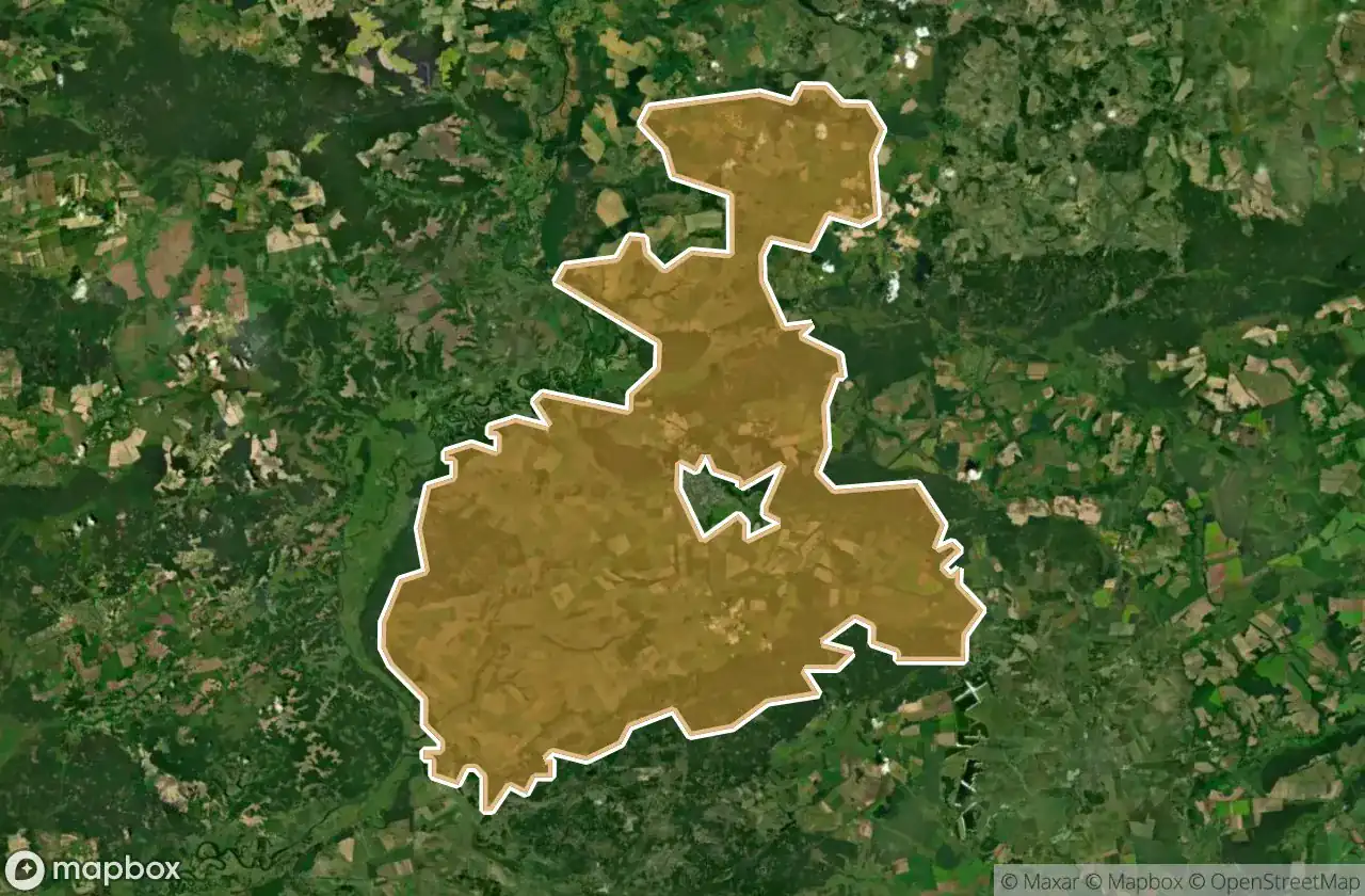
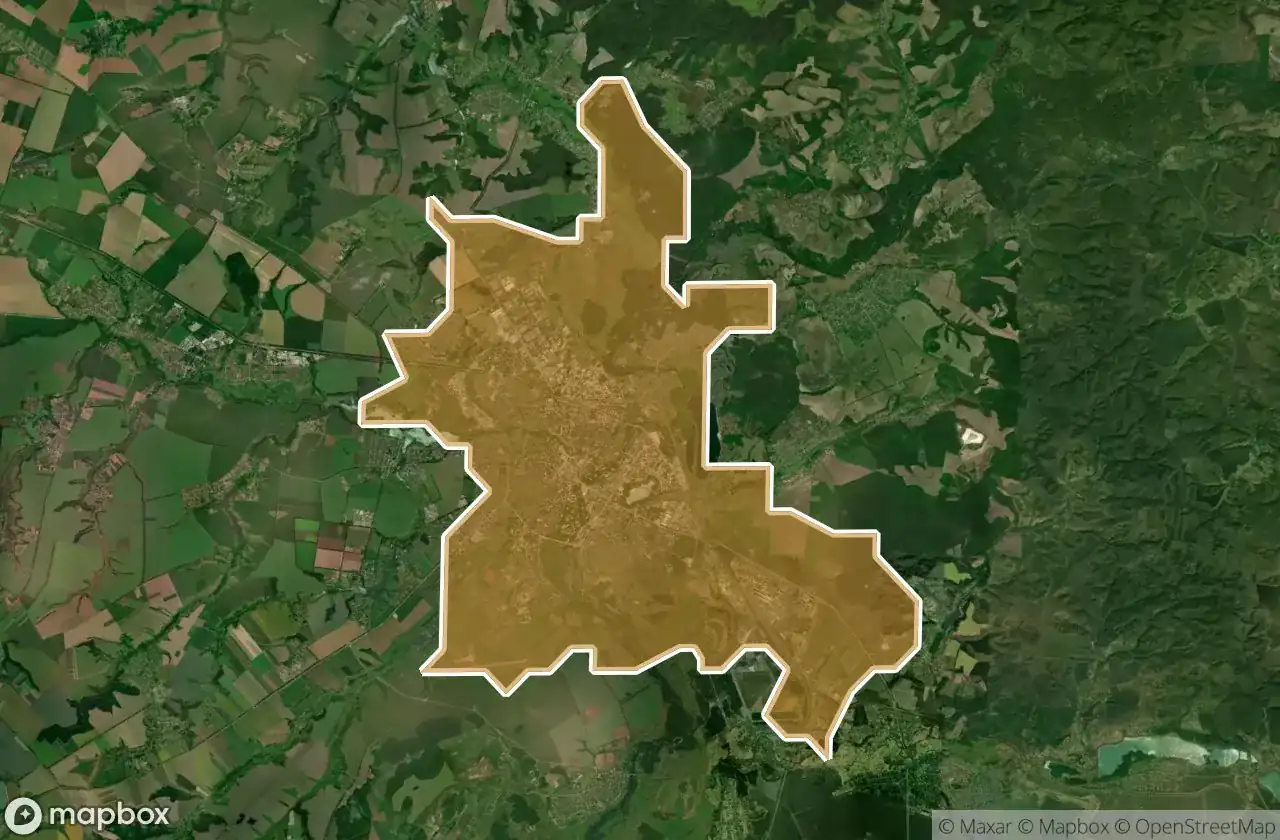
Per afdeling
Klik op een departement om de urbex-plekken te zien.
3
spots
Bilopils Kyi
1
spots
Hlukhivs Kyi
8
spots
Konotops Kyi
3
spots
Krasnopil S Kyi
3
spots
Krolevets Kyi
20
spots
Lebedyns Kyi
1
spots
Lypovodolyns Kyi
2
spots
Nedryhailivs Kyi
6
spots
Okhtyrs Kyi
3
spots
Putyvl S Kyi
1
spots
Romens Ka
3
spots
Romens Kyi
21
spots
Seredyno Buds Kyi
4
spots
Shostkins Kyi
26
spots
Sums Ka
17
spots
Sums Kyi
18
spots
Trostianets Kyi