Urbex-kaart Ivano Frankivs K
30 verlaten plekken • 11 departementen
30
spots
Eenmalige betaling - levenslang toegang
100% veilige betaling
SSL-versleutelde verbinding · Geen bankgegevens opgeslagen
Gratis updates voor het leven
Thema's in dit pakket
- Ruines
- Bruggen
- viaduct
Alle verlaten plekken in Ivano Frankivs K
30 geverifieerde GPS-coördinaten in 11 departementen. Kastelen, industriële ruïnes, ziekenhuizen, bunkers, mijnen.
Find 30 abandoned places near Nadvirnians Kyi, Kalus Kyi, Tysmenyts Kyi, Verkhovyns Kyi, Rohatyns Kyi and across Ivano Frankivs K, Oekraïne. Categories include Ruines, Bruggen, viaduct. All locations are GPS-verified on the interactive map.
30
verified spots
11
areas covered
GPS
Google Maps, Waze
juni 2026
last update
Where to find abandoned locations near Ivano Frankivs K?
The best way to find abandoned places in Ivano Frankivs K is through the interactive urbex map on Urbex Maps with GPS coordinates. The region has 30 verified locations across 11 areas, including Nadvirnians Kyi, Kalus Kyi, Tysmenyts Kyi, Verkhovyns Kyi, Rohatyns Kyi. Top categories are Ruines, Bruggen, viaduct.
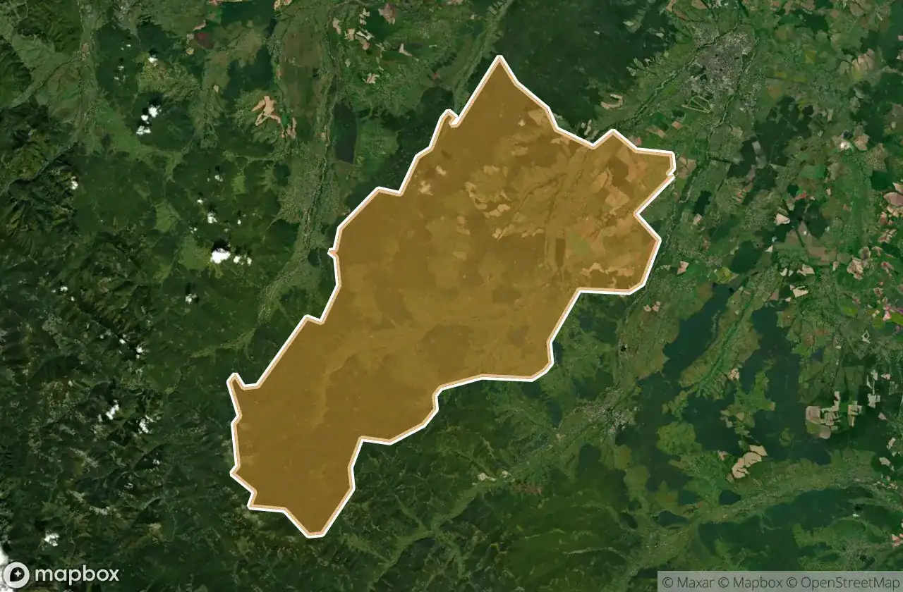
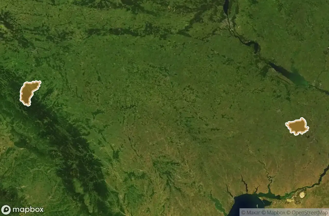
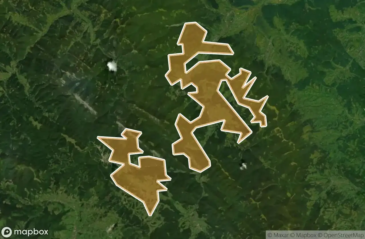
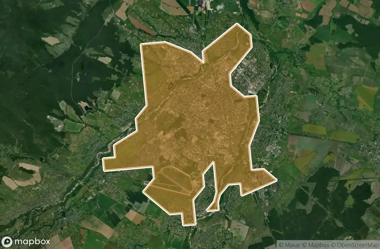
Abandoned places by area in Ivano Frankivs K
| Area | Spots | Map |
|---|---|---|
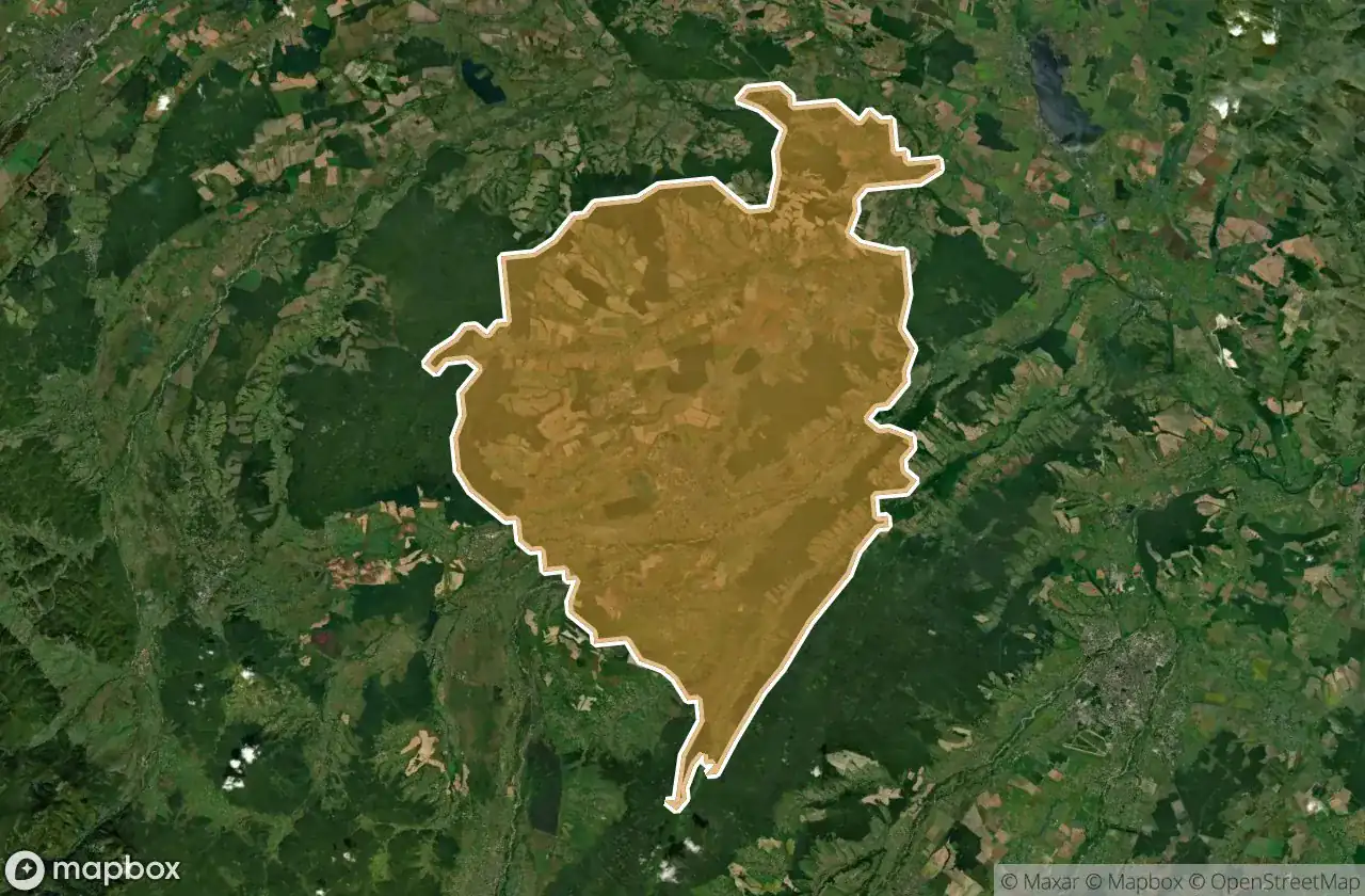
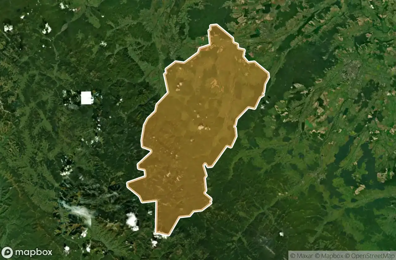
| Nadvirnians Kyi | 9 | View map → |
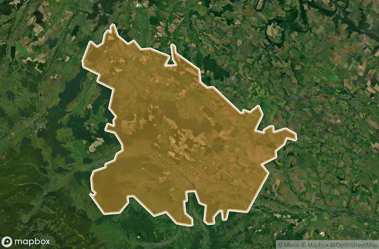
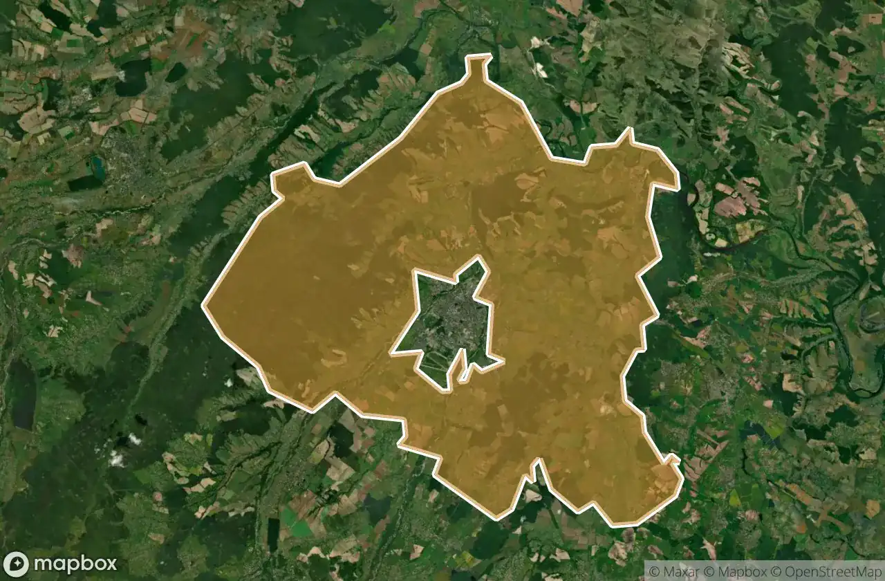
| Kalus Kyi | 5 | View map → |
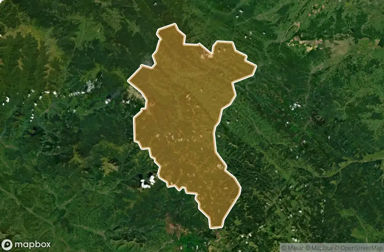
| Tysmenyts Kyi | 5 | View map → |
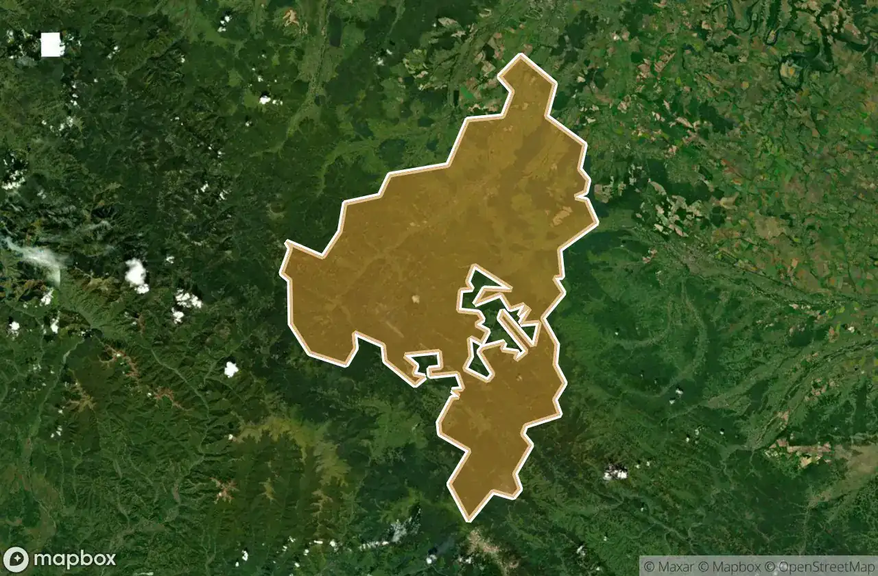
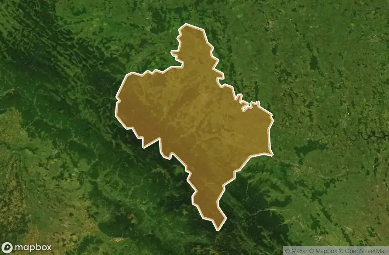
| Verkhovyns Kyi | 3 | View map → |
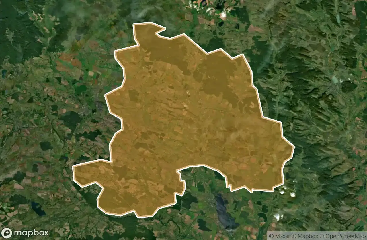
| Rohatyns Kyi | 2 | View map → |
| Bohorodchans Kyi | 1 | View map → |
| Dolyns Kyi | 1 | View map → |
| Iaremchans Ka | 1 | View map → |
| Ivano Frankivs Ka | 1 | View map → |
| Kolomyis Kyi | 1 | View map → |
Types of abandoned places in Ivano Frankivs K
- Ruines
- Bruggen
- viaduct
Per afdeling
Klik op een departement om de urbex-plekken te zien.