Urbex-kaart Chernihiv
113 verlaten plekken • 16 departementen
113
spots
Eenmalige betaling - levenslang toegang
100% veilige betaling
SSL-versleutelde verbinding · Geen bankgegevens opgeslagen
Gratis updates voor het leven
Thema's in dit pakket
- Kerken
- Ruines
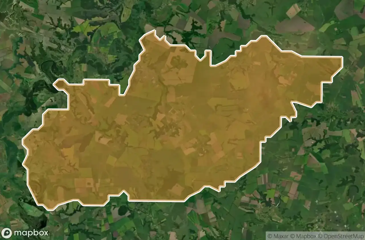
Alle verlaten plekken in Chernihiv
113 geverifieerde GPS-coördinaten in 16 departementen. Kastelen, industriële ruïnes, ziekenhuizen, bunkers, mijnen.
Explore abandoned buildings in Chernihiv, Oekraïne. The urbex map lists 113 GPS-verified spots across 16 areas, covering Kerken, Ruines and more.
113
verified spots
16
areas covered
GPS
Google Maps, Waze
juni 2026
last update
What abandoned buildings can you explore in Chernihiv?
The best way to find abandoned places in Chernihiv is through the interactive urbex map on Urbex Maps with GPS coordinates. The region has 113 verified locations across 16 areas, including Chernihivs Ka, Ichnians Kyi, Kozelets Kyi, Varvyns Kyi, Bobrovyts Kyi. Top categories are Kerken, Ruines.
Abandoned places by area in Chernihiv
| Area | Spots | Map |
|---|---|---|
| Chernihivs Ka | 23 | View map → |
| Ichnians Kyi | 18 | View map → |
| Kozelets Kyi | 12 | View map → |
| Varvyns Kyi | 12 | View map → |
| Bobrovyts Kyi | 8 | View map → |
| Pryluts Kyi | 8 | View map → |
| Chernihivs Kyi | 7 | View map → |
| Ripkyns Kyi | 5 | View map → |
| Horodnians Kyi | 4 | View map → |
| Nizhyns Kyi | 4 | View map → |
Types of abandoned places in Chernihiv
- Kerken
- Ruines
Per afdeling
Klik op een departement om de urbex-plekken te zien.
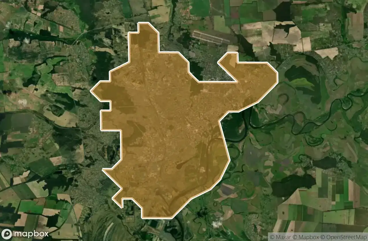
8
spots
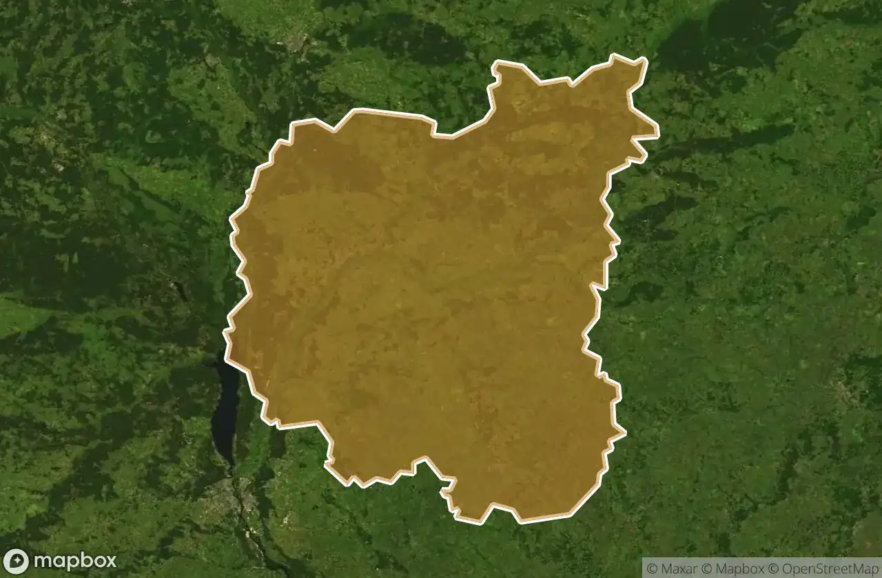
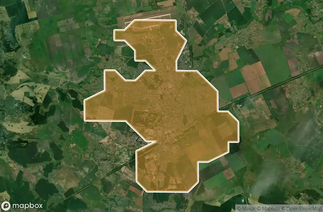
Bobrovyts Kyi
23
spots
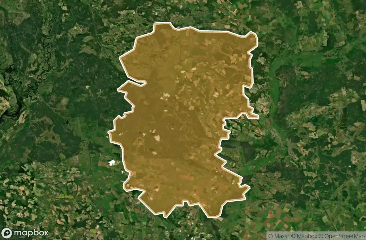
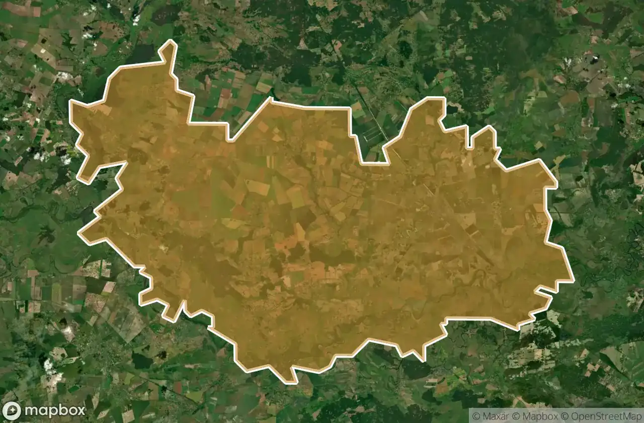
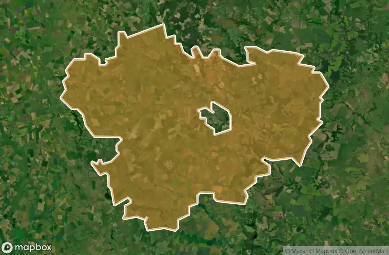
Chernihivs Ka
7
spots
Chernihivs Kyi
4
spots
Horodnians Kyi
18
spots
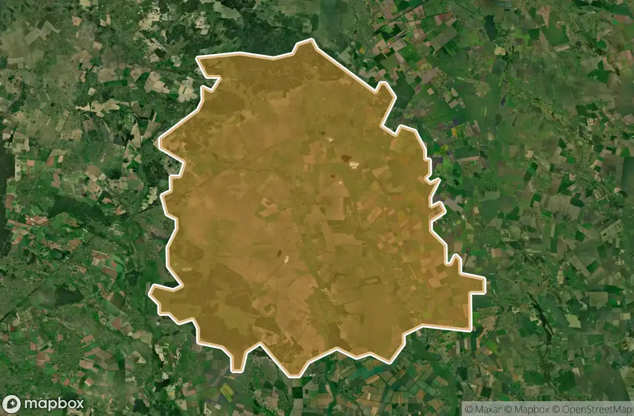
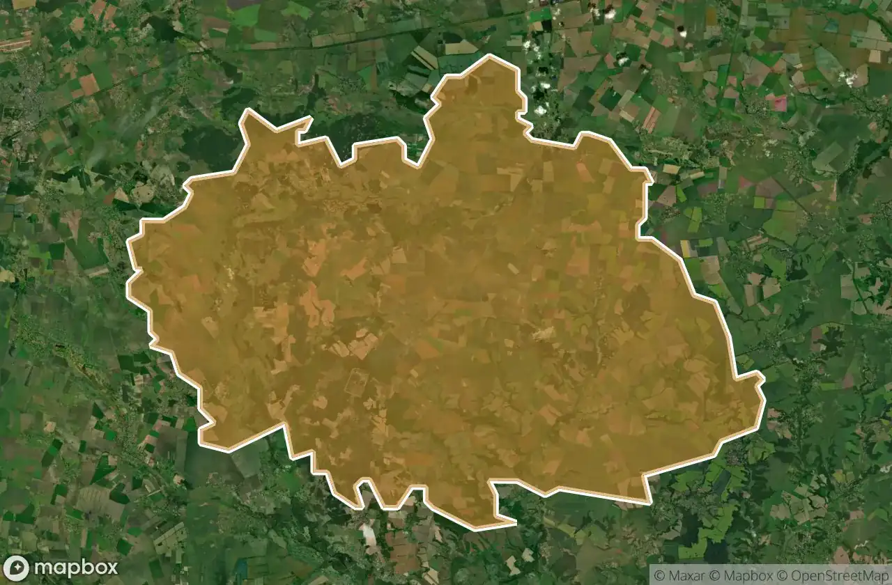
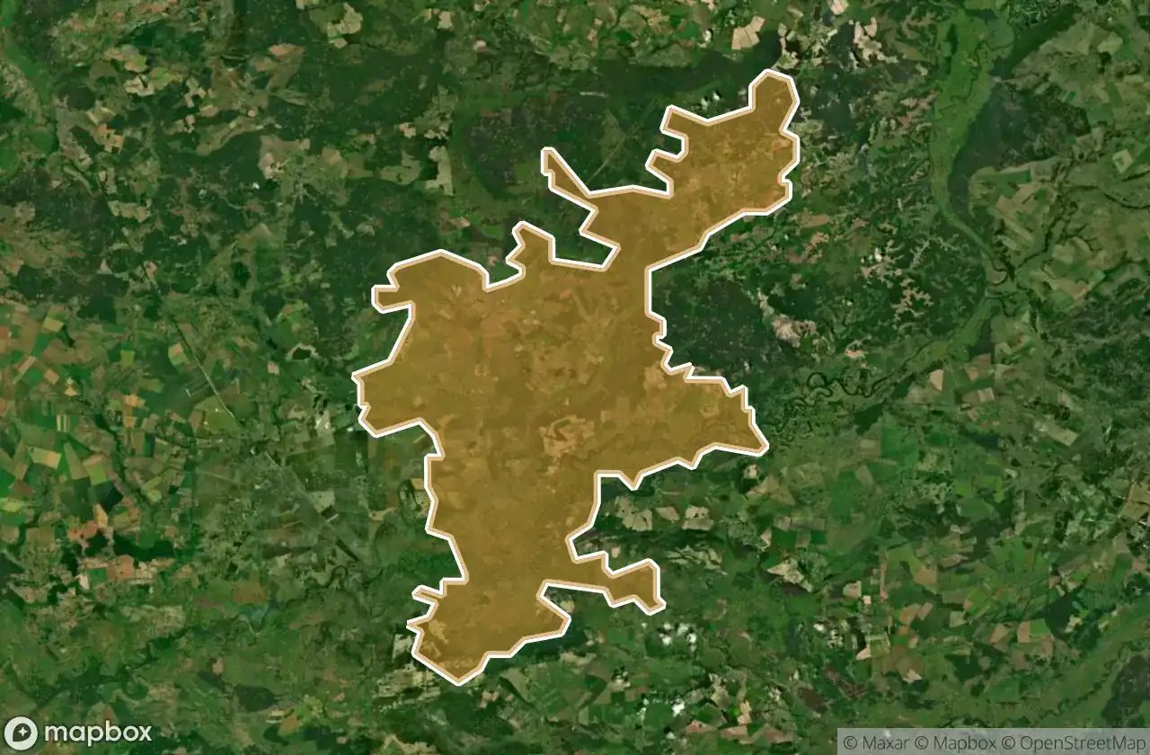
Ichnians Kyi
2
spots
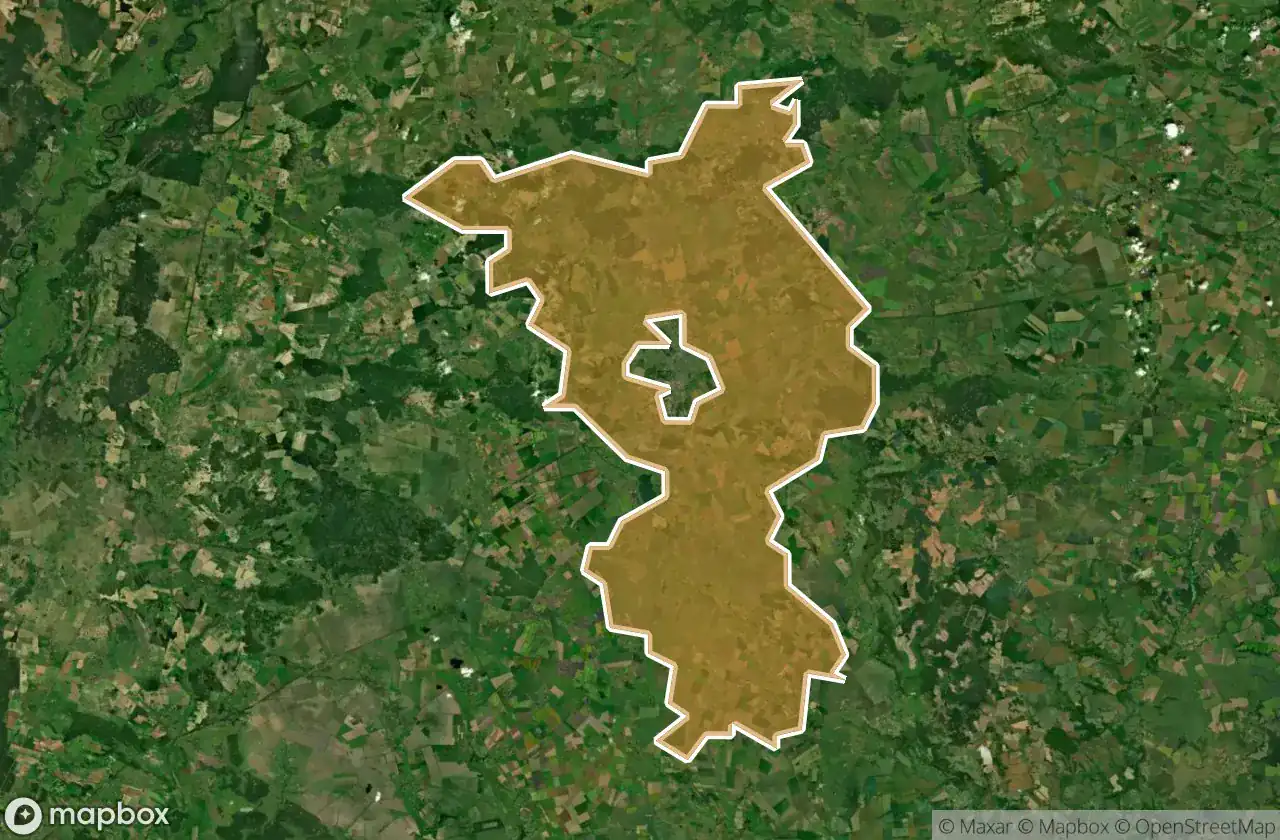
Korops Kyi
12
spots
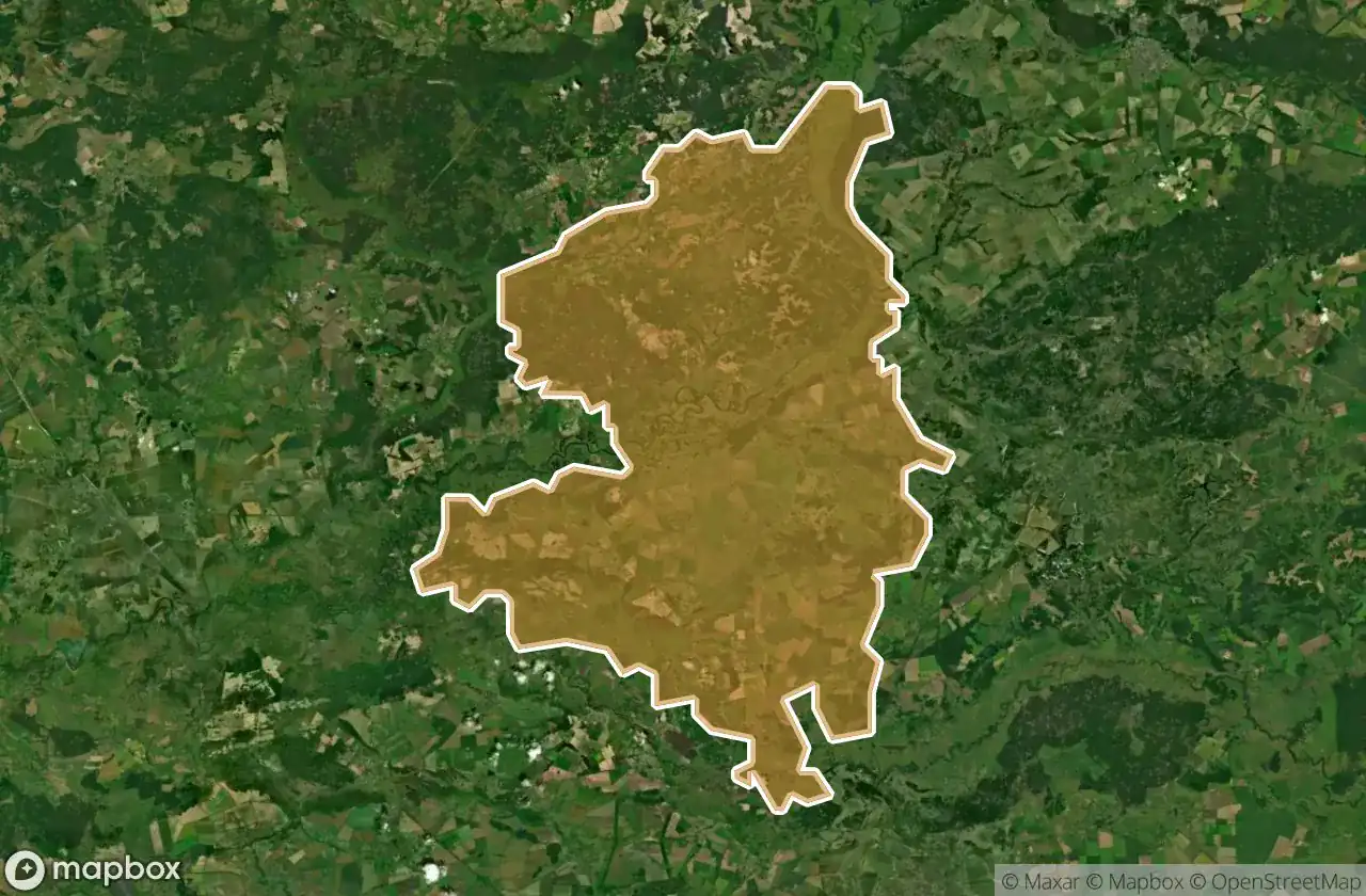
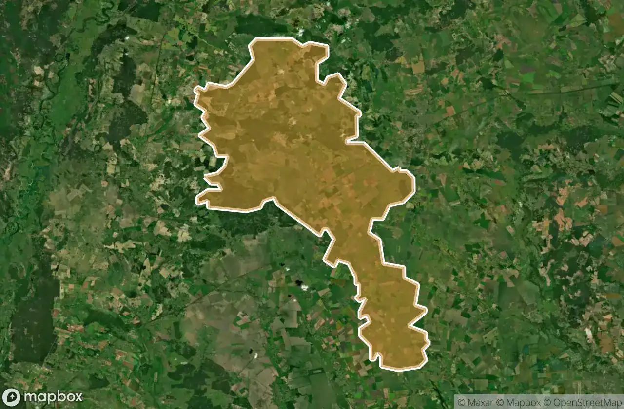
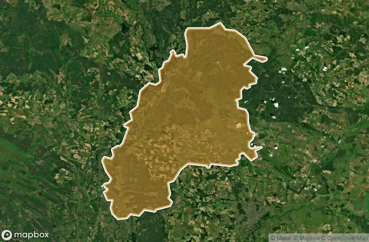
Kozelets Kyi
3
spots
Mens Kyi
1
spots
Nizhyns Ka
4
spots
Nizhyns Kyi
1
spots
Nosivs Kyi
8
spots
Pryluts Kyi
5
spots
Ripkyns Kyi
1
spots
Semenivs Kyi
4
spots
Sosnyts Kyi
12
spots
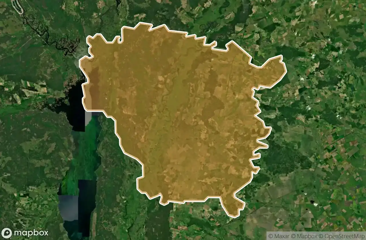
Varvyns Kyi