Urbex-kaart Ashbourne
65 verlaten plekken in Ashbourne
65
spots
Eenmalige betaling - levenslang toegang
100% veilige betaling
SSL-versleutelde verbinding · Geen bankgegevens opgeslagen
Gratis updates voor het leven
Thema's in dit pakket
- Kastelen
- Kerken
- Begraafplaatsen
Alle verlaten plekken in Ashbourne
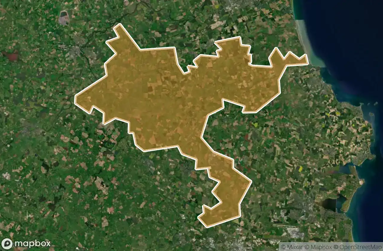
65 geverifieerde GPS-coördinaten in het departement Ashbourne, Meath, Ierland.
Looking for abandoned places in Ashbourne, Meath, Ierland? Urbex Maps offers 65 verified GPS coordinates of abandoned buildings in this area, including Kastelen, Kerken, Begraafplaatsen.
65
verified spots
GPS
Google Maps, Waze
juni 2026
last update
Where to find abandoned places in Ashbourne?
The best way to find abandoned places in Ashbourne is through the interactive urbex map on Urbex Maps with 65 verified GPS coordinates. Top categories are Kastelen, Kerken, Begraafplaatsen.
Types of abandoned places in Ashbourne
- Kastelen
- Kerken
- Begraafplaatsen
Spots in Ashbourne

Archerstown Road, Ashbourne

Ardcath

Ardcath ED, The Municipal District of Ashbourne

Assey Church

Athcarne Castle

Athcarne Castle

Ballybin Road

Castle Street

Dowdstown Bridge

Greenoge

Holy Well

Kilbride Lane

Killegland Cemetery

L1000

L1610

L1615

L22001

L22003

L5003

L5003

L5003

L5005

L5007

L50072

L5011

L5011

L5014

L50161

L50161

L50464

L5050

L5053

L56171

L6200

L6200

Macetown Road

Muckerstown Lane

Muckerstown Lane

New Line Road

Piercetown Graveyard

R152

R153

R153

R153

Rathfeigh ED, The Municipal District of Ashbourne

Riverstown Castle

Saint Colomba's Church

Skryne Church

Stamullin

Stamullin

Stamullin

Stamullin

Stamullin

Stamullin

Stamullin

Stamullin

Stamullin

Stamullin

Stamullin

Stamullin
+ 5 meer spots