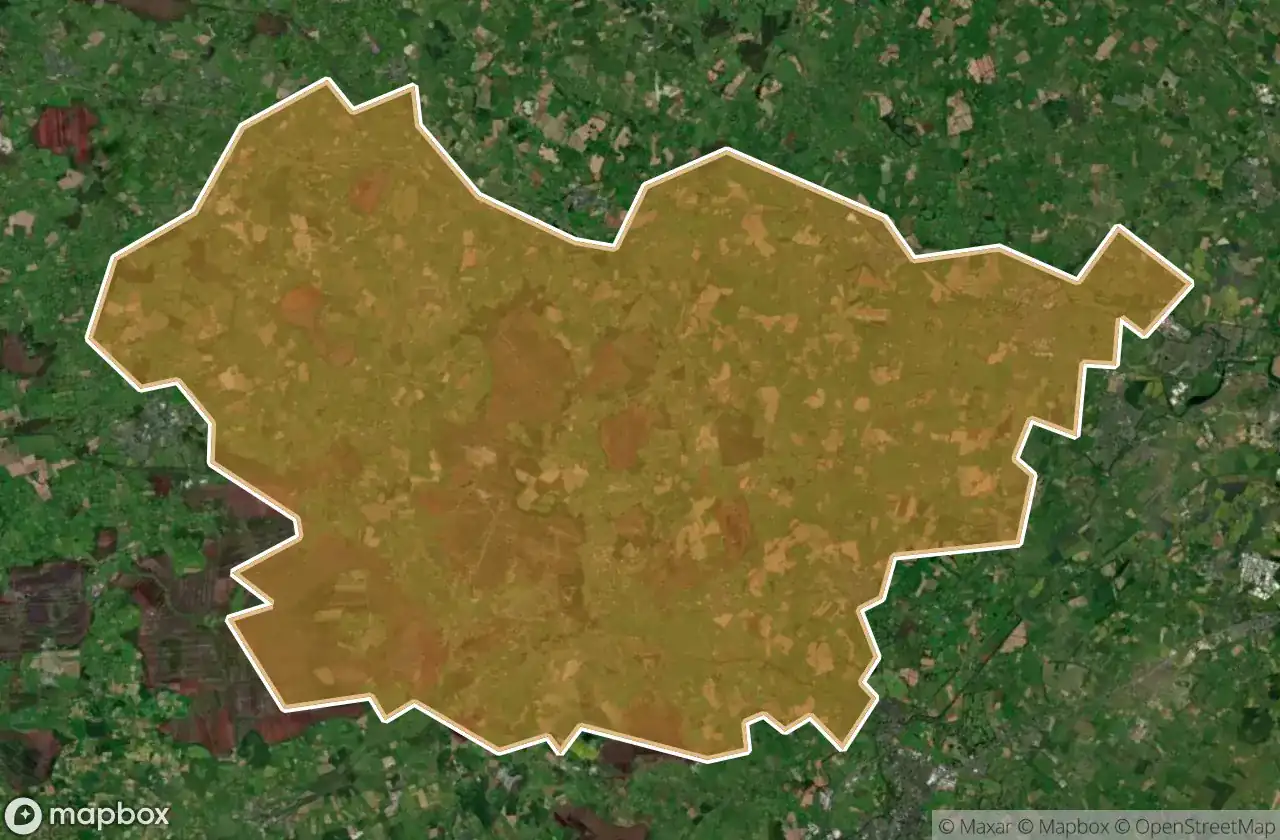
Urbex-kaart Clane Maynooth
76 verlaten plekken in Clane Maynooth
76
spots
Eenmalige betaling - levenslang toegang
100% veilige betaling
SSL-versleutelde verbinding · Geen bankgegevens opgeslagen
Gratis updates voor het leven
Thema's in dit pakket
- Kerken
- Kastelen
- Verlaten huizen
- Ruines
Alle verlaten plekken in Clane Maynooth
76 geverifieerde GPS-coördinaten in het departement Clane Maynooth, Kildare, Ierland.
Looking for abandoned places in Clane Maynooth, Kildare, Ierland? Urbex Maps offers 76 verified GPS coordinates of abandoned buildings in this area, including Kerken, Kastelen, Verlaten huizen, Ruines.
76
verified spots
GPS
Google Maps, Waze
juni 2026
last update
Where to find abandoned places in Clane Maynooth?
The best way to find abandoned places in Clane Maynooth is through the interactive urbex map on Urbex Maps with 76 verified GPS coordinates. Top categories are Kerken, Kastelen, Verlaten huizen, Ruines.
Types of abandoned places in Clane Maynooth
- Kerken
- Kastelen
- Verlaten huizen
- Ruines
Spots in Clane Maynooth

Ballynadrumny Cemetery

Balraheen Church

Bond Bridge

Carbury Castle

Carrick Castle

Chapel of St. Patrick of Killeighter

Church Street

Cloncurry ED, The Municipal District of Clane — Maynooth

Cloncurry ED, The Municipal District of Clane — Maynooth

Clonkeeran House

Confey Road

Donaghmore

Dunfierth Church

Dunfierth Park Road

Dunfierth Park Road

Edenderry Road

Geraldine's Castle

Grand Canal Way

Grand Canal Way

Grange Castle

Handball Courts (Ruins)

Jacob's Well Road

Kilcock

Kilcock ED, The Municipal District of Clane — Maynooth

Kilcock ED, The Municipal District of Clane — Maynooth

Killybegs House

Kinnafad Castle (ruins)

L1001

L1003

L1003

L1006

L1009

L1010

L1010

L1023

L5007

L5010, Kilshanchoe

L5017

L5017

L5019

L5022

L5025

L5025

L5028

L5028

L5035

L5065

L50664

L5076

L5077

Laraghbryan Church

Lodgepark

M4

M4

Mylerstown Castle

Oldtowndonore

R148

R148

R160

R160
+ 16 meer spots