Urbex-kaart Nordfriesland
39 verlaten plekken in Nordfriesland
39
spots
Eenmalige betaling - levenslang toegang
100% veilige betaling
SSL-versleutelde verbinding · Geen bankgegevens opgeslagen
Gratis updates voor het leven
Thema's in dit pakket
- Ruines
Alle verlaten plekken in Nordfriesland
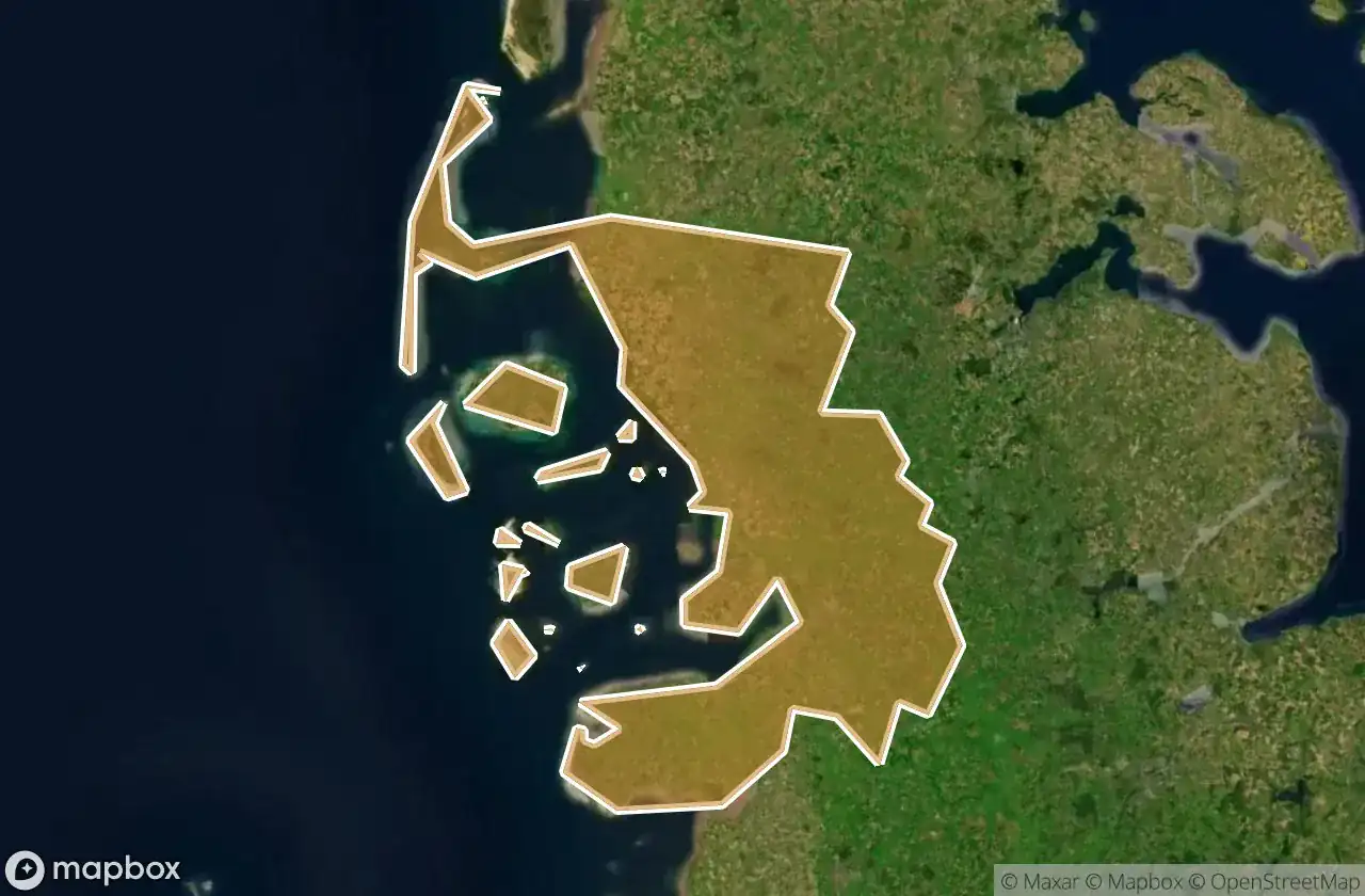
39 geverifieerde GPS-coördinaten in het departement Nordfriesland, Schleswig Holstein, Duitsland.
Looking for abandoned places in Nordfriesland, Schleswig Holstein, Duitsland? Urbex Maps offers 39 verified GPS coordinates of abandoned buildings in this area, including Ruines.
39
verified spots
GPS
Google Maps, Waze
juni 2026
last update
Where to find abandoned places in Nordfriesland?
The best way to find abandoned places in Nordfriesland is through the interactive urbex map on Urbex Maps with 39 verified GPS coordinates. Top categories are Ruines.
Types of abandoned places in Nordfriesland
- Ruines
Spots in Nordfriesland

Alte Kirche, Pellworm

Badallee, Sankt Peter-Dorf

Bahnhofstraße, Tönning

Bahnhofstraße, Wimmersbüll

Borgsum

Dorfstraße, Sankt Peter-Dorf

Eiscafé Cappuccino, Norddorf auf Amrum

Engesande, Enge

Holbekweg, Schwabstedt

Im Bad, Sankt Peter-Bad

Imported Coordinate Shadows

K 44, Langeneß

Karkenweg, Drelsdorf

Koogstraße, Tümlauer Koog

Lister Straße, Kampen (Sylt)

Norddorf

Nordermitteldeich, Pellworm

Oberdorf, Bondelum

Obere Wandelbahn, Wittdün auf Amrum

Parkplatz Dockkoog, Husum

Porrendeich, Uelvesbüll

Residual Coordinate Fragments

Seegarden, Tammensiel

Shadows of the Imported Grid

Shadows of the Imported Grid

Stollberg, West-Bordelum

Strandweg, Ording

The Geometry of Silence

The Geometry of Silence

The Ghost in the Grid

The Imported Geometric Ghost

The Latent Coordinate Echo

The Latent Geometry

The Mapped Void

The Plotted Void

Traced Coordinates of Silence

Traces of the Grid

Traces of the Grid

Traces of the Imported Grid