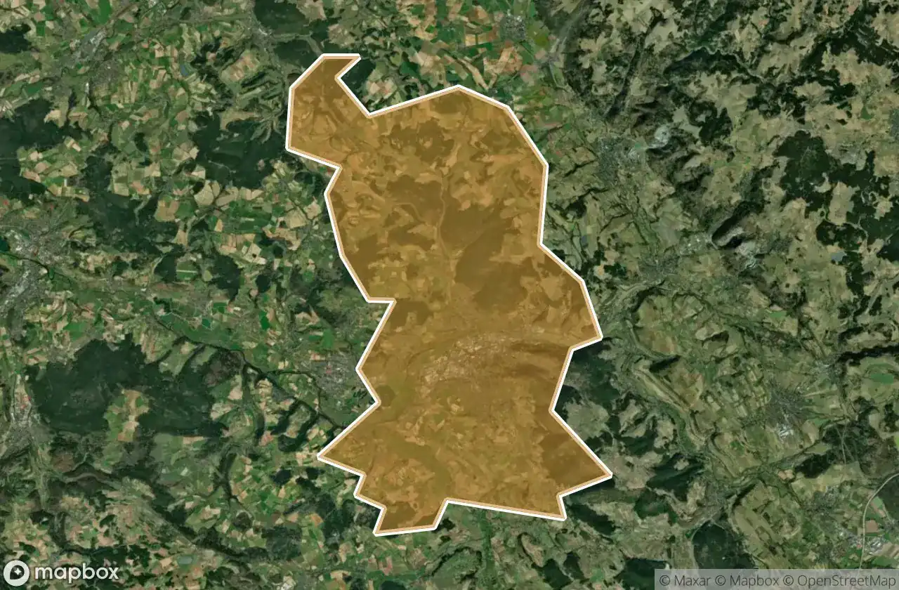
Urbex-kaart Kulmbach
23 verlaten plekken in Kulmbach
23
spots
Eenmalige betaling - levenslang toegang
100% veilige betaling
SSL-versleutelde verbinding · Geen bankgegevens opgeslagen
Gratis updates voor het leven
Thema's in dit pakket
- Ruines
Alle verlaten plekken in Kulmbach
23 geverifieerde GPS-coördinaten in het departement Kulmbach, Bayern, Duitsland.
Looking for abandoned places in Kulmbach, Bayern, Duitsland? Urbex Maps offers 23 verified GPS coordinates of abandoned buildings in this area, including Ruines.
23
verified spots
GPS
Google Maps, Waze
juni 2026
last update
Where to find abandoned places in Kulmbach?
The best way to find abandoned places in Kulmbach is through the interactive urbex map on Urbex Maps with 23 verified GPS coordinates. Top categories are Ruines.
Types of abandoned places in Kulmbach
- Ruines
Spots in Kulmbach

Birken, Heinersreuth

Grundmühle, Ziegenburg

Hochofen, Unterzaubach

In der Ecken, Pölz

Kasendorf

Kulmbacher Spinnerei GmbH, Hornschuchshausen

Lerchenbühl, Weiher

Mouldy Inn / SchimmelGasthof

Petersmühle, Trottenreuth

Plassenburg, Blaich

Römersreuth

Schübelhammer, Bernstein a.Wald

Shadows of the Coordinate

Spinnereistraße, Pölz

Stadtsteinach

The Geometry of Silence

The Imported Ghost Map

The Imported Silence

Traced From the Void

Traces From The Grid

Traces Within the Grid

Traces of the Latent Node

Vector of the Unseen