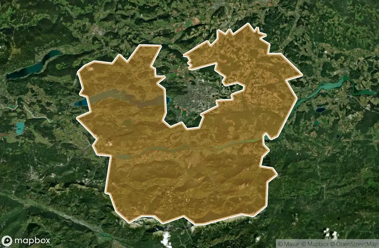
Urbex-kaart Klagenfurt Land
18 verlaten plekken in Klagenfurt Land
18
spots
Eenmalige betaling - levenslang toegang
100% veilige betaling
SSL-versleutelde verbinding · Geen bankgegevens opgeslagen
Gratis updates voor het leven
Thema's in dit pakket
- Ruines
- Torens
Alle verlaten plekken in Klagenfurt Land
18 geverifieerde GPS-coördinaten in het departement Klagenfurt Land, Karnten, Oostenrijk.
Looking for abandoned places in Klagenfurt Land, Karnten, Oostenrijk? Urbex Maps offers 18 verified GPS coordinates of abandoned buildings in this area, including Ruines, Torens.
18
verified spots
GPS
Google Maps, Waze
juni 2026
last update
Where to find abandoned places in Klagenfurt Land?
The best way to find abandoned places in Klagenfurt Land is through the interactive urbex map on Urbex Maps with 18 verified GPS coordinates. Top categories are Ruines, Torens.
Types of abandoned places in Klagenfurt Land
- Ruines
- Torens
Spots in Klagenfurt Land

Alte Sternwarte

Ameisbichl, Seigbichl

Burgruine Leonstein, Pörtschach am Wörther See

Damnigweg, Stallhofen

Echoes of the Sunken Dial

Ferlach

Jungsteinzeitliche Pfahlbauten

Maria Rain

Matheus, Ferlach

Raidenwirt, Ferlach

Ruine Rottenstein

Schubertweg, Krumpendorf

Shadows of the Map

The Latent Coordinate

The Shattered Clockwork Hall

The Vector’s Silent Echo

Vertices of the Silence

Whispers of the Forgotten Grid