Manchester
Urbex-kaart Victoria Arches, Manchester
ManchesterEnglandVerenigd Koninkrijk
Gratis updates voor het leven
Victoria Arches, Manchester - Coordonnées GPS Urbex
Obtenez la coordonnée GPS exacte de ce lieu abandonné situé dans le département Manchester (England, Verenigd Koninkrijk). Spot urbex vérifié et géolocalisé.
Bricked-up 1830s arches in the Irwell embankment by the Cathedral, used as WWII air-raid shelters, sealed since 1967.
0,90EUR
Paiement unique - accès à vie
100% veilige betaling
AMEX
Google Pay
stripe
SSL-versleutelde verbinding · Geen bankgegevens opgeslagen
Ce qui est inclus
- Coordonnée GPS exacte
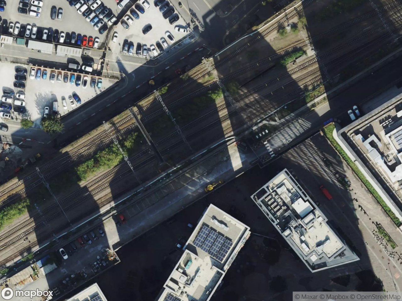
- Photo satellite du spot
- Accès immédiat après achat
Deze plek verschijnt in deze artikelen

Ce que nos articles disent de ce lieu
This is a spot for the imagination rather than the boots. The underground toilets closed in 1967, the staircases were removed, and the entrances were securely bricked up : in 2026 the arches are sealed and genuinely inaccessible. We include them because they are one of Manchester's great hidden ruins, visible from a…Lire l'article : Abandoned Places in Manchester: 5 Derelict Sites (2026) →