Urbex-kaart San Jacinto
12 verlaten plekken in San Jacinto
12
spots
Eenmalige betaling - levenslang toegang
Gratis updates voor het leven
Alle verlaten plekken in San Jacinto
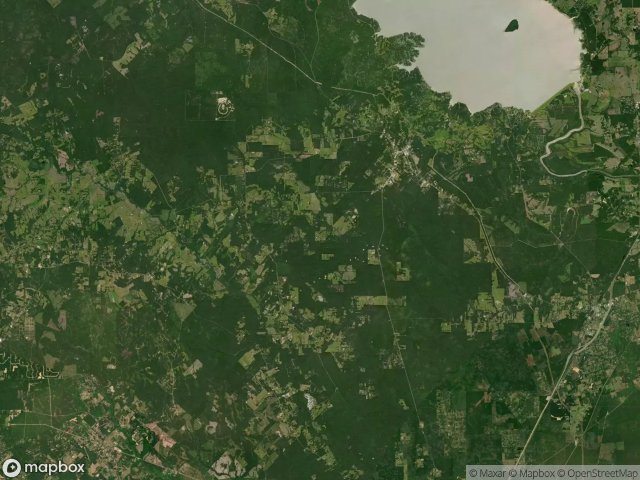
12 geverifieerde GPS-coördinaten in het departement San Jacinto, Texas, Verenigde Staten.
Looking for abandoned places in San Jacinto, Texas, Verenigde Staten? Urbex Maps offers 12 verified GPS coordinates of abandoned buildings in this area, including .
12
verified spots
GPS
Google Maps, Waze
juni 2026
last update
Where to find abandoned places in San Jacinto?
The best way to find abandoned places in San Jacinto is through the interactive urbex map on Urbex Maps with 12 verified GPS coordinates. Top categories are .
Spots in San Jacinto

Coldspring

Forest Service Road 217A

Golightly Gathering

Hargrove Lilly Road

Lone Star Hiking Trail

Lone Star Hiking Trail

North Butch Arthur Road

North Butch Arthur Road

San Jacinto County, Texas

San Jacinto County, Texas

San Jacinto County, Texas

South Butch Arthur Road