Urbex マップ Montgomery
104 の廃墟: Montgomery
104
スポット
一回払い - 永久アクセス
永久更新
すべての廃墟: Montgomery
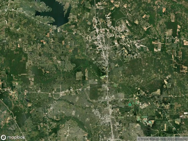
104 の検証済みGPS座標、 Montgomery, Texas, アメリカ.
Looking for abandoned places in Montgomery, Texas, アメリカ? Urbex Maps offers 104 verified GPS coordinates of abandoned buildings in this area, including .
104
verified spots
GPS
Google Maps, Waze
2026年6月
last update
Where to find abandoned places in Montgomery?
The best way to find abandoned places in Montgomery is through the interactive urbex map on Urbex Maps with 104 verified GPS coordinates. Top categories are .
スポット: Montgomery

Ada

Austin Road, Conroe

Baldwin Gathering Line

Bert Brown Road

Braided Mane Street

Brooks Road

Cameron Pipeline

Chandler Lane

Chateau Woods

Conroe Porter Road, Conroe

Cotton Eye Joe Drive

Cotton Eye Joe Drive

Duncan Lane

East Kristina

Exxon Road

Exxon Road

Exxon Road

Exxon Road

Exxon Road

Exxon/Texaco Lateral

FM 1488

Farm-to-Market Road 3083

Forest Cedar Lane, Conroe

Fostoria Field Main Line

Four Corners

Four Corners

Four Corners

Four Corners

Four Corners

Four Corners

Four Corners

Four Corners

Four Corners

Freemont Road

Garwood Drive

Grogan's Mill, The Woodlands

Grogan's Mill, The Woodlands

Hanson Ridge Drive, Conroe

Harmon Pipeline System

Imported Points of Oblivion

Interstate 45 North Frontage Road, Conroe

Johnson Mallard Road

Johnson Mallard Road

Johnson Road

Johnson Road

Kinder Morgan Lateral Tap

Koalstad Road

Koalstad Road

Koalstad Road

Koalstad Road

Koalstad Road

Leonidas

Little Lake Creek Loop Trail

Magnolia

Maple Bark Trail

Mary's Court

Montgomery County, Texas

Montgomery County, Texas

Montgomery County, Texas

Montgomery County, Texas
+ 他 44 スポット