Urbex Map Liberty
57 abandoned places in Liberty
57
spots
One-time payment - lifetime access
Regular lifetime updates
All abandoned places in Liberty
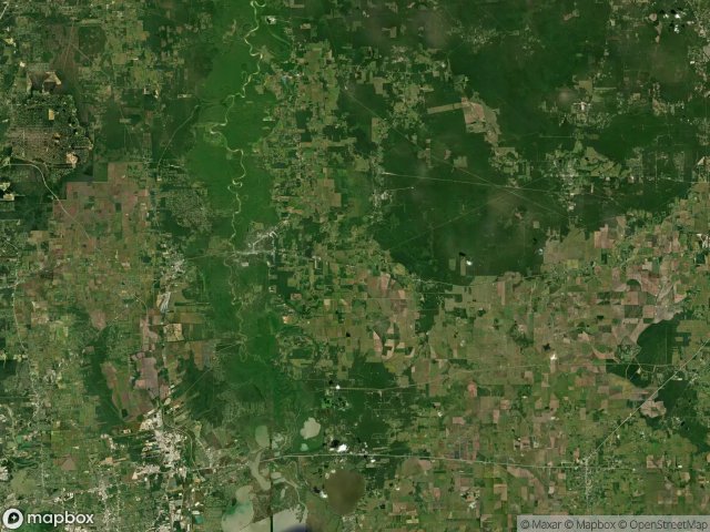
57 verified GPS coordinates in the department of Liberty, Texas, United States.
Looking for abandoned places in Liberty, Texas, United States? Urbex Maps offers 57 verified GPS coordinates of abandoned buildings in this area, including .
57
verified spots
GPS
Google Maps, Waze
June 2026
last update
Where to find abandoned places in Liberty?
The best way to find abandoned places in Liberty is through the interactive urbex map on Urbex Maps with 57 verified GPS coordinates. Top categories are .
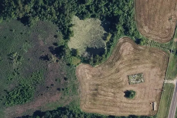
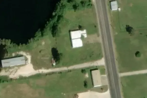
Spots in Liberty

Boyt Heirs Gathering

CR 1900

CR 1900

Cattle Guard

Chambers County, Texas

Echoes of Latent Nodes
Hardin Gas Gathering System

Hedge Row Road

Hedge Row Road

Humble to Liberty

Jose Coronado to Transco

Krahl Road

Krahl Road

Liberty County, Texas

Liberty County, Texas

Liberty County, Texas

Liberty County, Texas

Main Road

Main Road
Main Street, Daisetta

Moore Settlement

National Pipe & Tube Lateral

Palmer Road

SXL Intrastate Gathering

SXL Intrastate Gathering

SXL Intrastate Gathering

SXL Intrastate Gathering

SXL Intrastate Gathering

SXL Intrastate Gathering

SXL Intrastate Gathering

SXL Intrastate Gathering

SXL Intrastate Gathering

SXL Intrastate Gathering

SXL Intrastate Gathering

SXL Intrastate Gathering

SXL Intrastate Gathering

SXL Intrastate Gathering

SXL Intrastate Gathering

SXL Intrastate Gathering

SXL Intrastate Gathering

SXL Intrastate Gathering

SXL Intrastate Gathering

SXL Intrastate Gathering

SXL Intrastate Gathering

SXL Intrastate Gathering

SXL Intrastate Gathering

SXL Intrastate Gathering

SXL Intrastate Gathering

SXL Intrastate Gathering

SXL Intrastate Gathering

Shadows in the Grid

Sour Lake

Sour Lake

Sour Lake

Sour Lake to Hankamer

Westcott

Winnie