Urbex 지도 Goliad
137 개의 폐허: Goliad
137
스팟
일회성 결제 - 평생 접근
평생 업데이트
모든 폐허: Goliad
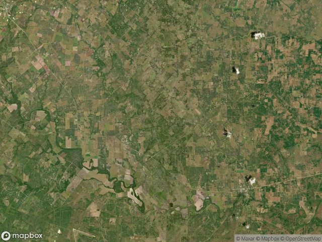
137 개의 검증된 GPS 좌표, Goliad, Texas, 미국.
Vous cherchez des lieux abandonnes a Goliad, Texas, 미국 ? Urbex Maps propose 137 coordonnees GPS verifiees de batiments abandonnes dans cette zone, dont .
137
spots verifies
GPS
Google Maps, Waze
2026년 6월
derniere mise a jour
Ou trouver des lieux abandonnes a Goliad ?
Les lieux abandonnes a Goliad se trouvent le mieux via la carte urbex interactive de Urbex Maps avec 137 coordonnees GPS verifiees. Les categories principales sont .
스팟: Goliad

Angel City

Angel City

Angel City

Angel City

Angel City

Angel City

Angel City

Angel City

Arnecke Road

Baecker Road

Baecker Road

Charco

Chicken Creek Road

Chicken Creek Road

Chicken Creek Road

Chicken Creek Road

Chicken Creek Road

Chicken Creek Road

Chicken Creek Road

Cohen Road

Cohen Road

Cohen Road

Danforth Road

Danforth Road

Danforth Road

Danforth Road

Duderstadt Road II

Dye Road

Dye Road

Dye Road

Ed Pettus Lane

Enke Road

FM 2442

FM 622

FM 622

FM 622

FM 883

FM 884

FM 884

Franke Road

Goliad County, Texas

Goliad County, Texas

Goliad County, Texas

Goliad County, Texas

Goliad County, Texas

Goliad County, Texas

Goliad County, Texas

Goliad County, Texas

Goliad County, Texas

Goliad County, Texas

Goliad County, Texas

Goliad County, Texas

Goliad County, Texas

Goliad County, Texas

Goliad County, Texas

Goliad County, Texas

Goliad County, Texas

Goliad County, Texas

Goliad County, Texas

Goliad County, Texas
+ 77개 더