Urbex Map Norfolk
12 abandoned places in Norfolk
12
spots
One-time payment - lifetime access
Regular lifetime updates
Themes included in this pack
- Hospitals
- Aircraft
- Airfields
- Asylums
- Abandoned factories
- Mills
All abandoned places in Norfolk
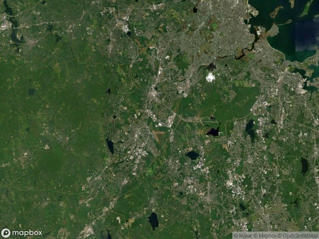
12 verified GPS coordinates in the department of Norfolk, Massachusetts, United States.
Looking for abandoned places in Norfolk, Massachusetts, United States? Urbex Maps offers 12 verified GPS coordinates of abandoned buildings in this area, including Hospitals, Aircraft, Airfields, Asylums, Abandoned factories, Mills.
12
verified spots
GPS
Google Maps, Waze
May 2026
last update
Where to find abandoned places in Norfolk?
The best way to find abandoned places in Norfolk is through the interactive urbex map on Urbex Maps with 12 verified GPS coordinates. Top categories are Hospitals, Aircraft, Airfields, Asylums, Abandoned factories, Mills.
Types of abandoned places in Norfolk
- Hospitals
- Aircraft
- Airfields
- Asylums
- Abandoned factories
- Mills
Spots in Norfolk

Dover Valley Trail, Dover

Former Hangar

Glen Ellen Boulevard, Millis

Harding, Medfield

Lyons Turning Mill

Medfield State Hospital

Norfolk County Hospital

Saratoga Street, Quincy

Ski Jump Base

The Latent Geometry

Union Point, Weymouth

Willlougby, Dover


