Urbex Map Fairfield
21 abandoned places in Fairfield
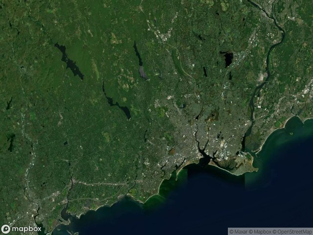
21
spots
One-time payment - lifetime access
Regular lifetime updates
Themes included in this pack
- Abandoned factories
- Power plants
- Ruins
All abandoned places in Fairfield
21 verified GPS coordinates in the department of Fairfield, Connecticut, United States.
Looking for abandoned places in Fairfield, Connecticut, United States? Urbex Maps offers 21 verified GPS coordinates of abandoned buildings in this area, including Abandoned factories, Power plants, Ruins.
21
verified spots
GPS
Google Maps, Waze
May 2026
last update
Where to find abandoned places in Fairfield?
The best way to find abandoned places in Fairfield is through the interactive urbex map on Urbex Maps with 21 verified GPS coordinates. Top categories are Abandoned factories, Power plants, Ruins.
Types of abandoned places in Fairfield
- Abandoned factories
- Power plants
- Ruins
Spots in Fairfield

120 Tokeneke Road Parking Lot, Darien

Abandoned power plant Norwalk CT

Barnum–Palliser Historic District, Bridgeport

Bridgeport Downtown North Historic District, Bridgeport

Central Avenue, Bridgeport

Charles Batchelder Co. Facility

Cherry Street, Bridgeport

Derby Greenway, East Derby

East Bridgeport, Bridgeport

Freeborn Road, Easton

Golden Hill Historic District, Bridgeport

Grand Street, Bridgeport

Mile Hill Road South, Newtown

Newfield, Bridgeport

Oak Street, Bridgeport

Old Farm Road, Sandy Hook

Pleasure Beach

Remington City Historic District, Bridgeport

Warren G. Harding High School, Bridgeport

Westport Power Plant

Wilton


