Urbex Map Ventura
13 abandoned places in Ventura
13
spots
One-time payment - lifetime access
Regular lifetime updates
Themes included in this pack
- Ruins
All abandoned places in Ventura
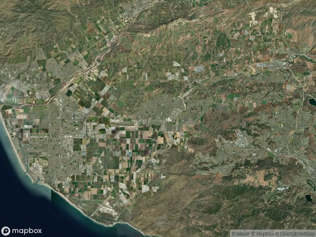
13 verified GPS coordinates in the department of Ventura, California, United States.
Looking for abandoned places in Ventura, California, United States? Urbex Maps offers 13 verified GPS coordinates of abandoned buildings in this area, including Ruins.
13
verified spots
GPS
Google Maps, Waze
June 2026
last update
Where to find abandoned places in Ventura?
The best way to find abandoned places in Ventura is through the interactive urbex map on Urbex Maps with 13 verified GPS coordinates. Top categories are Ruins.
Types of abandoned places in Ventura
- Ruins
Spots in Ventura

Backbone Trail, Old Malibu

Camarillo

Corriganville, Simi Valley

East Port Hueneme Road, Port Hueneme

Long Canyon Road, Simi Valley

Ojai

The Geometry of Silence

The Mapped Void

Traces of a Ghost Grid

Traces of the Scanned Void

University Drive, Camarillo

West Avenal Street

West Ponderosa Drive, Camarillo