Urbex Map Santa Clara
37 abandoned places in Santa Clara
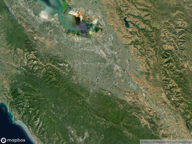
37
spots
One-time payment - lifetime access
Regular lifetime updates
Themes included in this pack
- Tunnels
- Ruins
- Hospitals
- Abandoned houses
- Mines
All abandoned places in Santa Clara
37 verified GPS coordinates in the department of Santa Clara, California, United States.
Looking for abandoned places in Santa Clara, California, United States? Urbex Maps offers 37 verified GPS coordinates of abandoned buildings in this area, including Tunnels, Ruins, Hospitals, Abandoned houses, Mines.
37
verified spots
GPS
Google Maps, Waze
May 2026
last update
Where to find abandoned places in Santa Clara?
The best way to find abandoned places in Santa Clara is through the interactive urbex map on Urbex Maps with 37 verified GPS coordinates. Top categories are Tunnels, Ruins, Hospitals, Abandoned houses, Mines.
Types of abandoned places in Santa Clara
- Tunnels
- Ruins
- Hospitals
- Abandoned houses
- Mines
Spots in Santa Clara

Abandoned Senior Home

Boy Scout Camp

Brick Monolith 20ft+ tall

Center Road, San Jose

Center Road, San Jose

Chemeketa Park, Redwood Estates

Chemeketa Park, Redwood Estates

Coordinates of Forgotten Logic

Coordinates of Silent Ground

Guadalupe Mines Road, San Jose

Gunn tunnels

Insane Asylum

Jarvis Way, Los Altos Hills

Lennox Way, Los Altos Hills

Lexington Hills, Redwood Estates

Mine Office & Maps

Mine Shaft

Oakmead Parkway, Sunnyvale

Playboy House

Santa Clara County, California

Sargent

Snack Shack (Abandoned)

South Bascom Avenue, San Jose

The Coordinates of Silence

The Geometry of Imported Shadows

The Silent Coordinates

Traces in the Grid

Traces of a Mapped Void

Traces of the Grid

Tracing the Latent Points

Tunnel

Tunnel

Tunnel

Tunnel

Tunnel

Vector of Forgotten Coordinates

Winchester Boulevard, San Jose


