Urbex Map Santa Barbara
19 abandoned places in Santa Barbara
19
spots
One-time payment - lifetime access
Regular lifetime updates
Themes included in this pack
- Mines
- Ruins
- Schools
All abandoned places in Santa Barbara
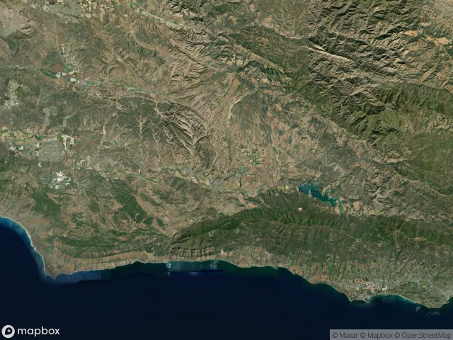
19 verified GPS coordinates in the department of Santa Barbara, California, United States.
Looking for abandoned places in Santa Barbara, California, United States? Urbex Maps offers 19 verified GPS coordinates of abandoned buildings in this area, including Mines, Ruins, Schools.
19
verified spots
GPS
Google Maps, Waze
June 2026
last update
Where to find abandoned places in Santa Barbara?
The best way to find abandoned places in Santa Barbara is through the interactive urbex map on Urbex Maps with 19 verified GPS coordinates. Top categories are Mines, Ruins, Schools.
Types of abandoned places in Santa Barbara
- Mines
- Ruins
- Schools
Spots in Santa Barbara

Alcatraz Asphalt Mine

Chumash Highway

Cold Spring Water Tower

Devereux ranch school

Marcum Street, Orcutt

Parks Plaza Cinema, Buellton

Pea Soup Andersen's, Buellton

San Miguelito Road, Lompoc

Santa Barbara

Shadows on the Grid

Summerland

The Geometry of Silence

Traced Beyond the Grid

Traced by Shadowed Lines

Traces Within the Mesh

Traces of the Imported Void

US 101

West Betteravia Road, Santa Maria

West Camino Cielo