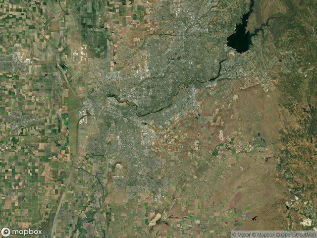
Карта Urbex Sacramento
16 заброшенных мест в Sacramento
16
мест
Разовый платёж - пожизненный доступ
Пожизненные обновления
Темы в этом наборе
- Бункеры
- Военные
Все заброшенные места в Sacramento
16 проверенных GPS-координат в департаменте Sacramento, California, США.
Ищете заброшенные места в Sacramento, California, США? Urbex Maps предлагает 16 проверенных GPS-координат заброшенных зданий в этом районе, включая Бункеры, Военные.
16
проверенных мест
GPS
Google Maps, Waze
июнь 2026 г.
последнее обновление
Где найти заброшенные места в Sacramento?
Заброшенные места в Sacramento лучше всего искать через интерактивную урбекс-карту Urbex Maps с 16 проверенными GPS-координатами.
Типы заброшенных мест в Sacramento
- Бункеры
- Военные
Споты в Sacramento

Abandoned Baseball Field Foundation

Aero Jet military base

Air Force base

Alert Road

American River Bike Trail, Rancho Cordova

American River Bike Trail, Rancho Cordova

Cordova

Folsom

Main Street, Isleton

Old Auburn Road, Citrus Heights

Potrero Way, Sacramento

Rancho Cordova

The Geometry of Absence

Traces of Mapped Silence

Traces of an Imported Void

Waterman Road, Elk Grove