Urbex Map Cape Breton
16 abandoned places in Cape Breton
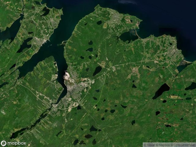
16
spots
One-time payment - lifetime access
100% Secure Checkout
SSL encrypted · No banking data stored
Regular lifetime updates
Themes included in this pack
- Ruins
- Hospitals
- Abandoned houses
- Lighthouses
All abandoned places in Cape Breton
16 verified GPS coordinates in the department of Cape Breton, Nova Scotia, Canada.
Looking for abandoned places in Cape Breton, Nova Scotia, Canada? Urbex Maps offers 16 verified GPS coordinates of abandoned buildings in this area, including Ruins, Hospitals, Abandoned houses, Lighthouses.
16
verified spots
GPS
Google Maps, Waze
May 2026
last update
Where to find abandoned places in Cape Breton?
The best way to find abandoned places in Cape Breton is through the interactive urbex map on Urbex Maps with 16 verified GPS coordinates. Top categories are Ruins, Hospitals, Abandoned houses, Lighthouses.
Types of abandoned places in Cape Breton
- Ruins
- Hospitals
- Abandoned houses
- Lighthouses
Spots in Cape Breton

Boutiliers Lane, Little Pond

Broughton Road, Broughton

Ferry Street, Sydney

Hinchey Avenue, New Waterford

King's Hospital / Hôpital du roi

Maison Lappinot

Marconi National Historic Site, Glace Bay

Peck Street, Sydney Mines

The Geometry of Absence

The Geometry of Silence

The Ghost Coordinate

The Plotted Void

Traces Plotted In Shadow

Traces Within the Grid

Traces of the Grid

Vertices of the Void


