Urbex Map Squamish Lillooet
15 abandoned places in Squamish Lillooet
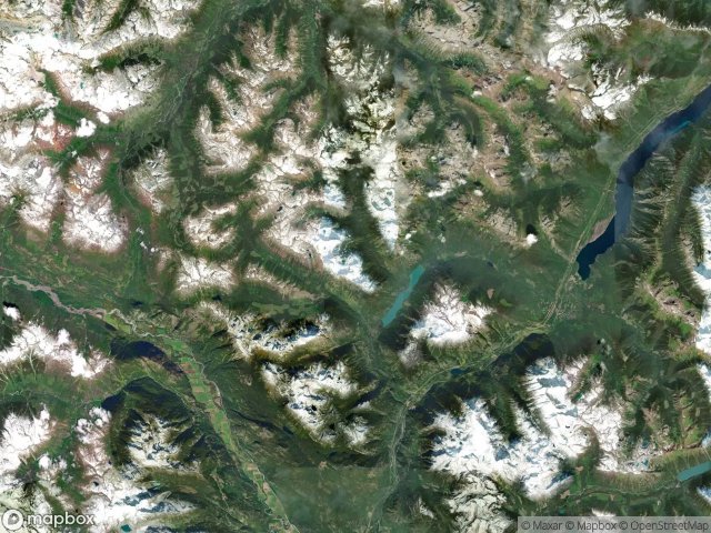
15
spots
One-time payment - lifetime access
100% Secure Checkout
SSL encrypted · No banking data stored
Regular lifetime updates
Themes included in this pack
- Ruins
- Buildings
- Abandoned houses
All abandoned places in Squamish Lillooet
15 verified GPS coordinates in the department of Squamish Lillooet, British Columbia, Canada.
Looking for abandoned places in Squamish Lillooet, British Columbia, Canada? Urbex Maps offers 15 verified GPS coordinates of abandoned buildings in this area, including Ruins, Buildings, Abandoned houses.
15
verified spots
GPS
Google Maps, Waze
May 2026
last update
Where to find abandoned places in Squamish Lillooet?
The best way to find abandoned places in Squamish Lillooet is through the interactive urbex map on Urbex Maps with 15 verified GPS coordinates. Top categories are Ruins, Buildings, Abandoned houses.
Types of abandoned places in Squamish Lillooet
- Ruins
- Buildings
- Abandoned houses
Spots in Squamish Lillooet

Area B (Cayoosh/Pavilion)

Athelney Pass Cabin (Silver Standard Cabin)

Barkley Valley Cabin (Elliot Creek Cabin), Area C (Pemberton Valley/Mount Currie/D'Arcy)

Big Bar, Area A (Upper Bridge River Valley)

Collapsed house

McGillivray Pass Cabin

Pemberton

Ponderosa Estates, Area C (Pemberton Valley/Mount Currie/D'Arcy)

Shadows on the Grid

Shalalth, Area B (Cayoosh/Pavilion)

Sucker Lake Road, Area A (Upper Bridge River Valley)

Taylor Road, Area C (Pemberton Valley/Mount Currie/D'Arcy)

The Imported Silence

The Scripted Void

Whistler


