Urbex Map Vale Of Glamorgan
13 abandoned places in Vale Of Glamorgan

13
spots
One-time payment - lifetime access
100% Secure Checkout
SSL encrypted · No banking data stored
Regular lifetime updates
Themes included in this pack
- Castles
- Abandoned factories
- Farms
- Abandoned houses
- Mills
- Ruins
All abandoned places in Vale Of Glamorgan
13 verified GPS coordinates in the department of Vale Of Glamorgan, Wales, United Kingdom.
Looking for abandoned places in Vale Of Glamorgan, Wales, United Kingdom? Urbex Maps offers 13 verified GPS coordinates of abandoned buildings in this area, including Castles, Abandoned factories, Farms, Abandoned houses, Mills, Ruins.
13
verified spots
GPS
Google Maps, Waze
June 2026
last update
Where to find abandoned places in Vale Of Glamorgan?
The best way to find abandoned places in Vale Of Glamorgan is through the interactive urbex map on Urbex Maps with 13 verified GPS coordinates. Top categories are Castles, Abandoned factories, Farms, Abandoned houses, Mills, Ruins.
Types of abandoned places in Vale Of Glamorgan
- Castles
- Abandoned factories
- Farms
- Abandoned houses
- Mills
- Ruins
Spots in Vale Of Glamorgan

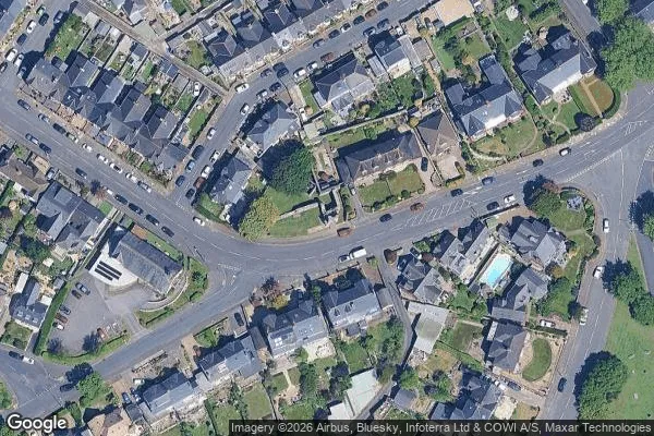
A4232, Cardiff
Barry Castle

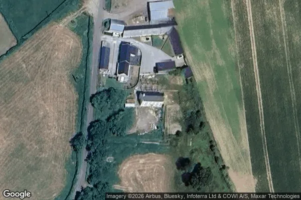
Boiler House Road, West Aberthaw
Boys Village

Dock View Road, Barry

East Aberthaw
Great Frampton House

Hayes Farm Mill (ruin)

Lavernock Road, Penarth
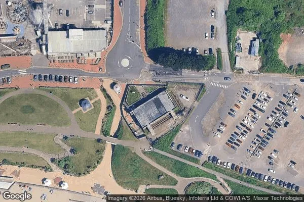
Nell's Point Car Park, Barry

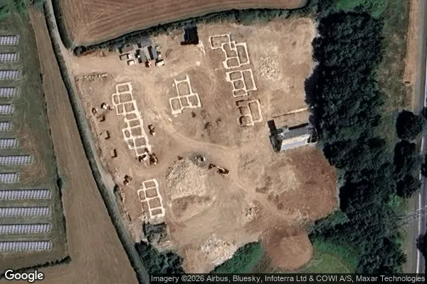
Plane Fire Training, Eglwys Brewis

Wick

Wick