Urbex Map East Lothian
25 abandoned places in East Lothian
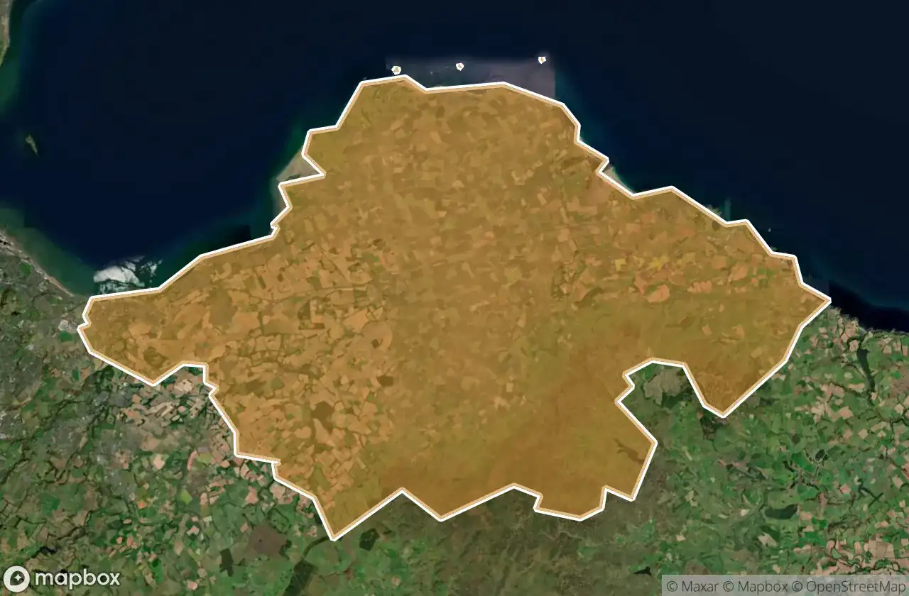
25
spots
One-time payment - lifetime access
100% Secure Checkout
SSL encrypted · No banking data stored
Regular lifetime updates
Themes included in this pack
- Castles
- Hospitals
- Train stations
All abandoned places in East Lothian
25 verified GPS coordinates in the department of East Lothian, Scotland, United Kingdom.
Looking for abandoned places in East Lothian, Scotland, United Kingdom? Urbex Maps offers 25 verified GPS coordinates of abandoned buildings in this area, including Castles, Hospitals, Train stations.
25
verified spots
GPS
Google Maps, Waze
May 2026
last update
Where to find abandoned places in East Lothian?
The best way to find abandoned places in East Lothian is through the interactive urbex map on Urbex Maps with 25 verified GPS coordinates. Top categories are Castles, Hospitals, Train stations.
Types of abandoned places in East Lothian
- Castles
- Hospitals
- Train stations
Spots in East Lothian

Bullet Loan, Haddington

Castle TTL

Dirleton Castle, Dirleton

East Fortune

East Fortune hospital

Flight control

Gin Head Radar station

Haddington

Haven Cafe, Dunbar

Hopetoun Mews, Haddington

Old St Andrew's church, North Berwick

Redhouse Castle, Longniddry

Seton Collegiate Church, Blindwells

Shadows of Mapped Geometry

Shadows of the Vector

Spittal, Longniddry

The Abbey, North Berwick

The Geometry of Absence

The Geometry of Silence

The Latent Coordinate

The Mapped Silence

Traces of the Ghost Grid

Vertices of the Void

Victoria Bridge, Haddington

Whitecraig


