Urbex Map Leeds
30 abandoned places in Leeds
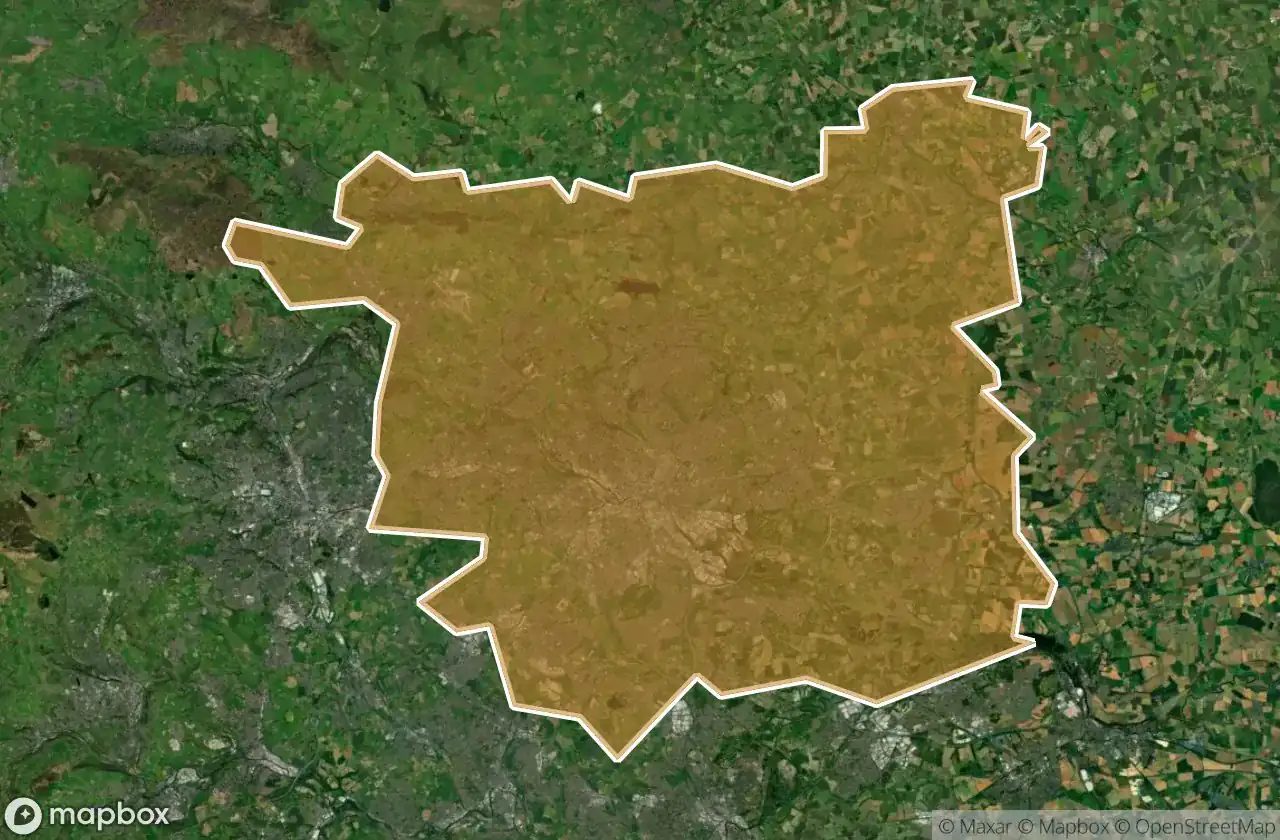
30
spots
One-time payment - lifetime access
100% Secure Checkout
SSL encrypted · No banking data stored
Regular lifetime updates
Themes included in this pack
- Churches
- Bunkers
- Military
- Mines
- Schools
All abandoned places in Leeds
30 verified GPS coordinates in the department of Leeds, England, United Kingdom.
Looking for abandoned places in Leeds, England, United Kingdom? Urbex Maps offers 30 verified GPS coordinates of abandoned buildings in this area, including Churches, Bunkers, Military, Mines, Schools.
30
verified spots
GPS
Google Maps, Waze
May 2026
last update
Where to find abandoned places in Leeds?
The best way to find abandoned places in Leeds is through the interactive urbex map on Urbex Maps with 30 verified GPS coordinates. Top categories are Churches, Bunkers, Military, Mines, Schools.
Types of abandoned places in Leeds
- Churches
- Bunkers
- Military
- Mines
- Schools
Spots in Leeds

3.7" gun site

Aberford

Boston Exchange Court, Leeds

Chapel Allerton

Church of the Immaculate Virgin

Clifford, Leeds

Dales Way Link, Leeds

EM School

Far Fold, Leeds

Glenthorpe Terrace, Leeds

Green Hill, Leeds

Green Hill, Leeds

Harewood Castle, Harewood

Hill Top, Leeds

Howley Hall

Lofthouse

Newlay, Farsley

Pool

Saxton Church

Scholes

Scholes

Scholes

Shadwell

Swillington

Swillington

Troy Hill, Churwell

Winston's Gentleman's Club

Wiring Field, Leeds

Yeadon

barn (ruined)


