Urbex Map Cambridgeshire
28 abandoned places in Cambridgeshire
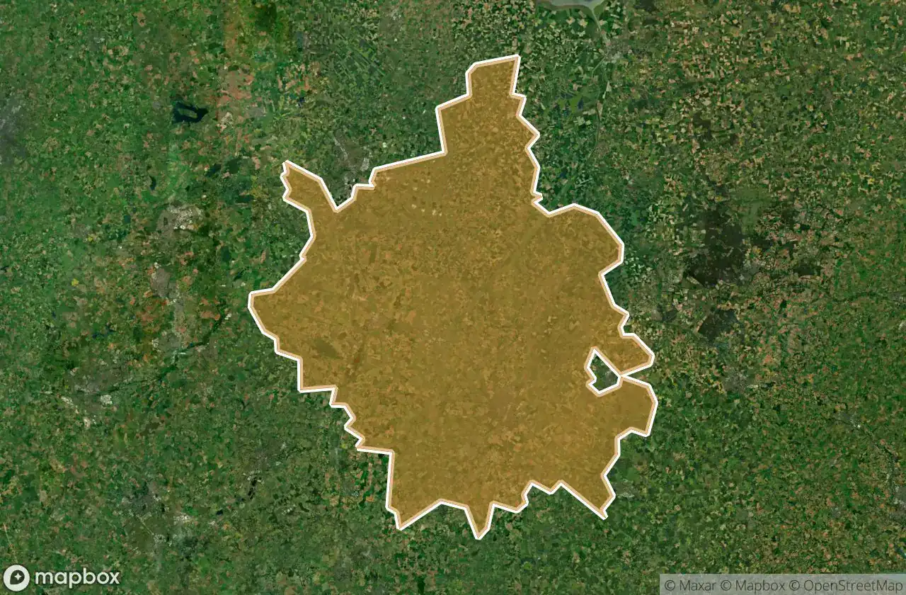
28
spots
One-time payment - lifetime access
100% Secure Checkout
SSL encrypted · No banking data stored
Regular lifetime updates
Themes included in this pack
- Abandoned houses
- Abandoned factories
- Farms
- Manors
- Mills
- Bridges
- Warehouses
- Churches
All abandoned places in Cambridgeshire
28 verified GPS coordinates in the department of Cambridgeshire, England, United Kingdom.
Looking for abandoned places in Cambridgeshire, England, United Kingdom? Urbex Maps offers 28 verified GPS coordinates of abandoned buildings in this area, including Abandoned houses, Abandoned factories, Farms, Manors, Mills, Bridges.
28
verified spots
GPS
Google Maps, Waze
May 2026
last update
Where to find abandoned places in Cambridgeshire?
The best way to find abandoned places in Cambridgeshire is through the interactive urbex map on Urbex Maps with 28 verified GPS coordinates. Top categories are Abandoned houses, Abandoned factories, Farms, Manors, Mills, Bridges.
Types of abandoned places in Cambridgeshire
- Abandoned houses
- Abandoned factories
- Farms
- Manors
- Mills
- Bridges
- Warehouses
- Churches
Spots in Cambridgeshire

Abandoned House in Cabmbrishire

Abandoned Warehouse and Concrete Manufacturing Factory

Balsham

Bottisham

Chuch Tower

Denton Church (ruins)

Fulbourn

Gamlingay

Great North Fen Drove, Cottenham

Great North Fen Drove, Cottenham

Harston Wind Mill (Ruins)

Harston-Trumpington cycleway, South Cambridgeshire

Hemingford Grey

High Bridge Farm

Kimbolton

Kimbolton

Kimbolton

Lingrey Court, Cambridge

Manor of the local notable

RAF Upwood

Roman Way, South Cambridgeshire

Roman Way, South Cambridgeshire

Sawston

Shadows of the Vector

The Plotted Silence

Time capsule House

Warboys

Waterbeach


