Urbex Map Athlone Moate
31 abandoned places in Athlone Moate
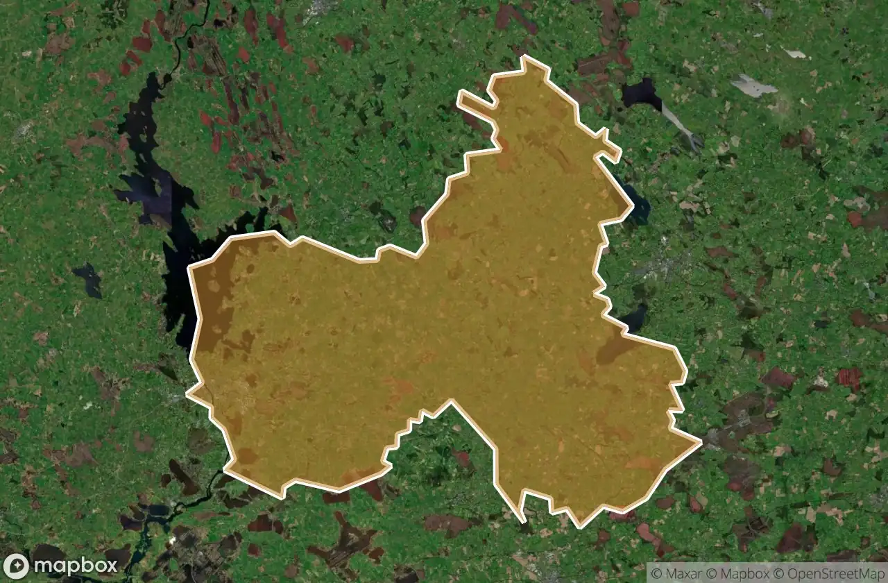
31
spots
One-time payment - lifetime access
100% Secure Checkout
SSL encrypted · No banking data stored
Regular lifetime updates
Themes included in this pack
- Castles
- Abandoned houses
- Churches
- Monasteries
- Schools
All abandoned places in Athlone Moate
31 verified GPS coordinates in the department of Athlone Moate, Westmeath, Ireland.
Looking for abandoned places in Athlone Moate, Westmeath, Ireland? Urbex Maps offers 31 verified GPS coordinates of abandoned buildings in this area, including Castles, Abandoned houses, Churches, Monasteries, Schools.
31
verified spots
GPS
Google Maps, Waze
May 2026
last update
Where to find abandoned places in Athlone Moate?
The best way to find abandoned places in Athlone Moate is through the interactive urbex map on Urbex Maps with 31 verified GPS coordinates. Top categories are Castles, Abandoned houses, Churches, Monasteries, Schools.
Types of abandoned places in Athlone Moate
- Castles
- Abandoned houses
- Churches
- Monasteries
- Schools
Spots in Athlone Moate

Athlone Abbey

Beech Cottage

Castle Street

Claras

Claras

Dublin Road

Glassan

Glenlough ED, The Municipal District of Athlone — Moate

Ice House (ruins)

Killinure ED, The Municipal District of Athlone — Moate

Killinure ED, The Municipal District of Athlone — Moate

Kiltober Castle

L1024

Leney Parish Churchyard

Lloyds Lane, Athlone

Long Hill Esker Low Path

Millbank

Mizzoni Pizza & China Dragon

Montrath Castle

Muckanagh ED, The Municipal District of Athlone — Moate

Newtown

Old Rail Trail

Prince Barber

R391

R446

Rathowen ED, The Municipal District of Athlone — Moate

Retreat Road

St. Ciaran's National School

St. Pauls

Templecross

Tristernagh House (ruins)


