Urbex Map Ostholstein
39 abandoned places in Ostholstein
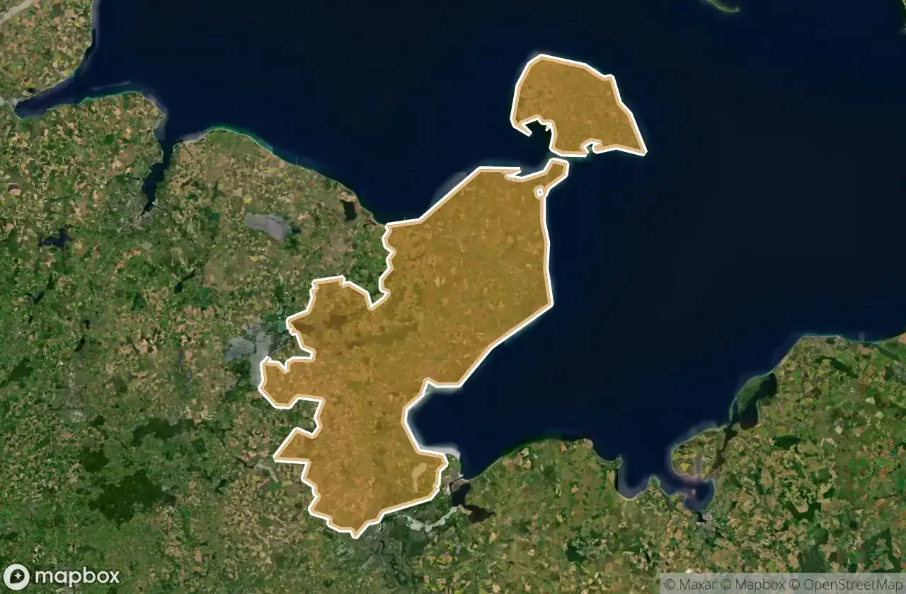
39
spots
One-time payment - lifetime access
100% Secure Checkout
SSL encrypted · No banking data stored
Regular lifetime updates
Themes included in this pack
- Abandoned factories
- Abandoned houses
- Manors
- Mills
All abandoned places in Ostholstein
39 verified GPS coordinates in the department of Ostholstein, Schleswig Holstein, Germany.
Looking for abandoned places in Ostholstein, Schleswig Holstein, Germany? Urbex Maps offers 39 verified GPS coordinates of abandoned buildings in this area, including Abandoned factories, Abandoned houses, Manors, Mills.
39
verified spots
GPS
Google Maps, Waze
May 2026
last update
Where to find abandoned places in Ostholstein?
The best way to find abandoned places in Ostholstein is through the interactive urbex map on Urbex Maps with 39 verified GPS coordinates. Top categories are Abandoned factories, Abandoned houses, Manors, Mills.
Types of abandoned places in Ostholstein
- Abandoned factories
- Abandoned houses
- Manors
- Mills
Spots in Ostholstein

AMEOS Klinikum Heiligenhafen, Heiligenhafen

Ahrensböker Straße, Stockelsdorf

Alter Mühlenweg, Dänschendorf

Altes Herrenhaus

Am Südstrand, Fehmarn

B 207, Puttgarden

Bahnhofstraße, Neversfelde

Bebensundweg, Eutin

Bergstraße, Timmendorfer Strand

Brodauer Mühle

Bruhnskoppel, Krummsee

Bungsberg, Schönwalde am Bungsberg

Burg auf Fehmarn

Diekseepromenade, Malente

Echoes In Digital Coordinates

Elisabethstraße, Bad Schwartau

Fährhafenstraße, Puttgarden

Geibelstraße, Bad Schwartau

Gremersdorf

Großenbroderfähre, Großenbrode

Klaus-Groth-Straße, Bad Schwartau

Klausdorfer Weg, Niendorf

Lübecker Straße, Ahrensbök

Monkhagen

Ostermader Kamp, Ostermade

Plöner Straße, Barghorst

Plöner Straße, Malente

SchwinkenraderWassermühle

Schützenplatz, Lensahn

Shadows Within the Grid

Speichertürme

The Geometry of Shadows

The Geometry of Silence

The Imported Geometric Ghost

The Imported Silence

The Mapped Silence

Thomas Betonwerk, Heiligenhafen

Vertices of a Silent Grid

Weidestraße, Eutin


