Urbex Map Vulkaneifel
35 abandoned places in Vulkaneifel
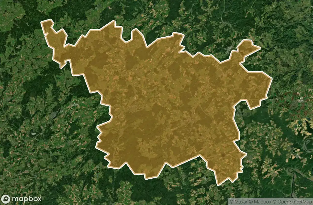
35
spots
One-time payment - lifetime access
100% Secure Checkout
SSL encrypted · No banking data stored
Regular lifetime updates
Themes included in this pack
- Bunkers
- Castles
- Military
- Train stations
All abandoned places in Vulkaneifel
35 verified GPS coordinates in the department of Vulkaneifel, Rheinland Pfalz, Germany.
Looking for abandoned places in Vulkaneifel, Rheinland Pfalz, Germany? Urbex Maps offers 35 verified GPS coordinates of abandoned buildings in this area, including Bunkers, Castles, Military, Train stations.
35
verified spots
GPS
Google Maps, Waze
May 2026
last update
Where to find abandoned places in Vulkaneifel?
The best way to find abandoned places in Vulkaneifel is through the interactive urbex map on Urbex Maps with 35 verified GPS coordinates. Top categories are Bunkers, Castles, Military, Train stations.
Types of abandoned places in Vulkaneifel
- Bunkers
- Castles
- Military
- Train stations
Spots in Vulkaneifel

Adenauerhaus

Ahbachstraße, Ahütte

Alter Bahnhof, Schalkenmehren

B 421, Dreis

B 421, Scheid

B 421, Scheid

B 421, Scheid

Bongard

Coordinates of the Scripted

Frauenkroner Straße, Scheid

Frauenkroner Weg, Frauenkron

Hauptstraße, Wallenborn

Kalkbrennöfen, Niederehe

Maibaumstraße, Birresborn

Nohner Mühle, Nohn

Poststraße, Birresborn

Residual Spatial Fragment

Ruine Neroburg, Oberstadtfeld

Scheid

Scheid

Scheid

St.-Matthias-Gymnasium, Gerolstein

Steiner Weg, Dockweiler

The Grid’s Silent Artifact

The Imported Echo

The Imported Silence

The Imported Silence

The Imported Static Manifest

The Latent Coordinate

Traces Of Imported Silence

Traces Within The Grid

Traces of Imported Silence

Vennquerbahn, Losheim

Walsdorf

Westwall, Frauenkron


